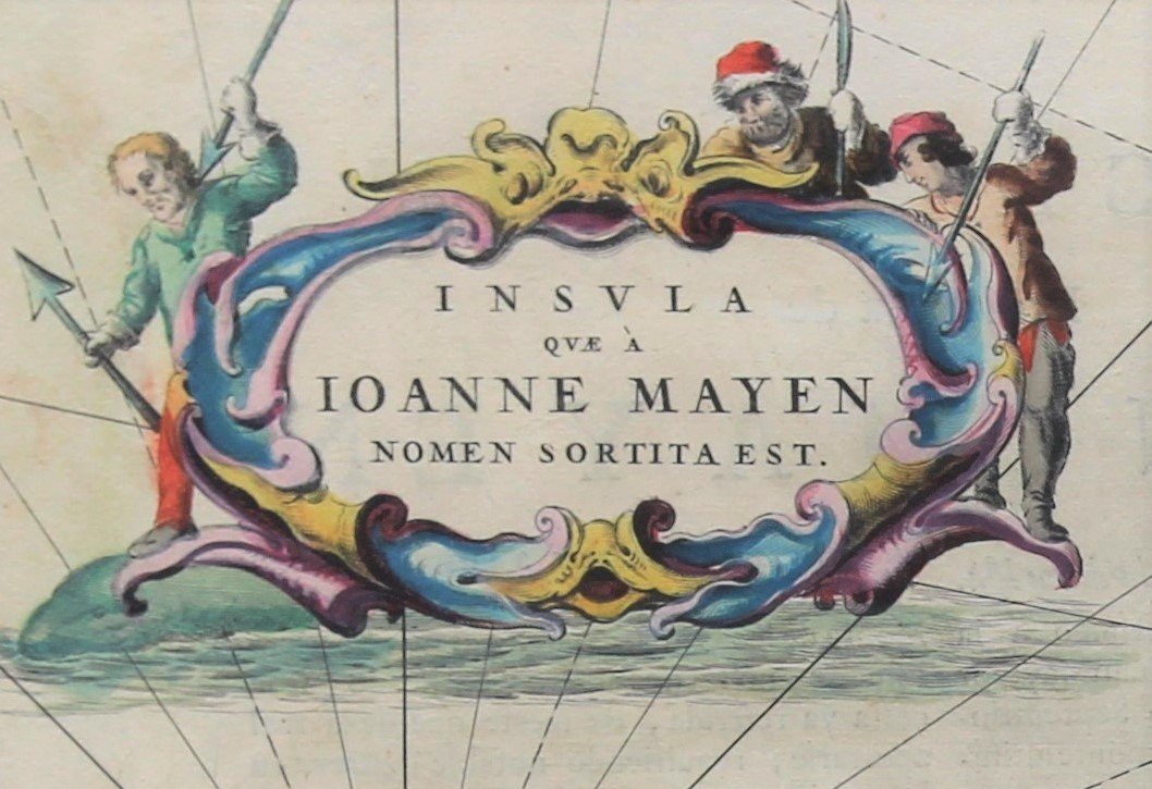
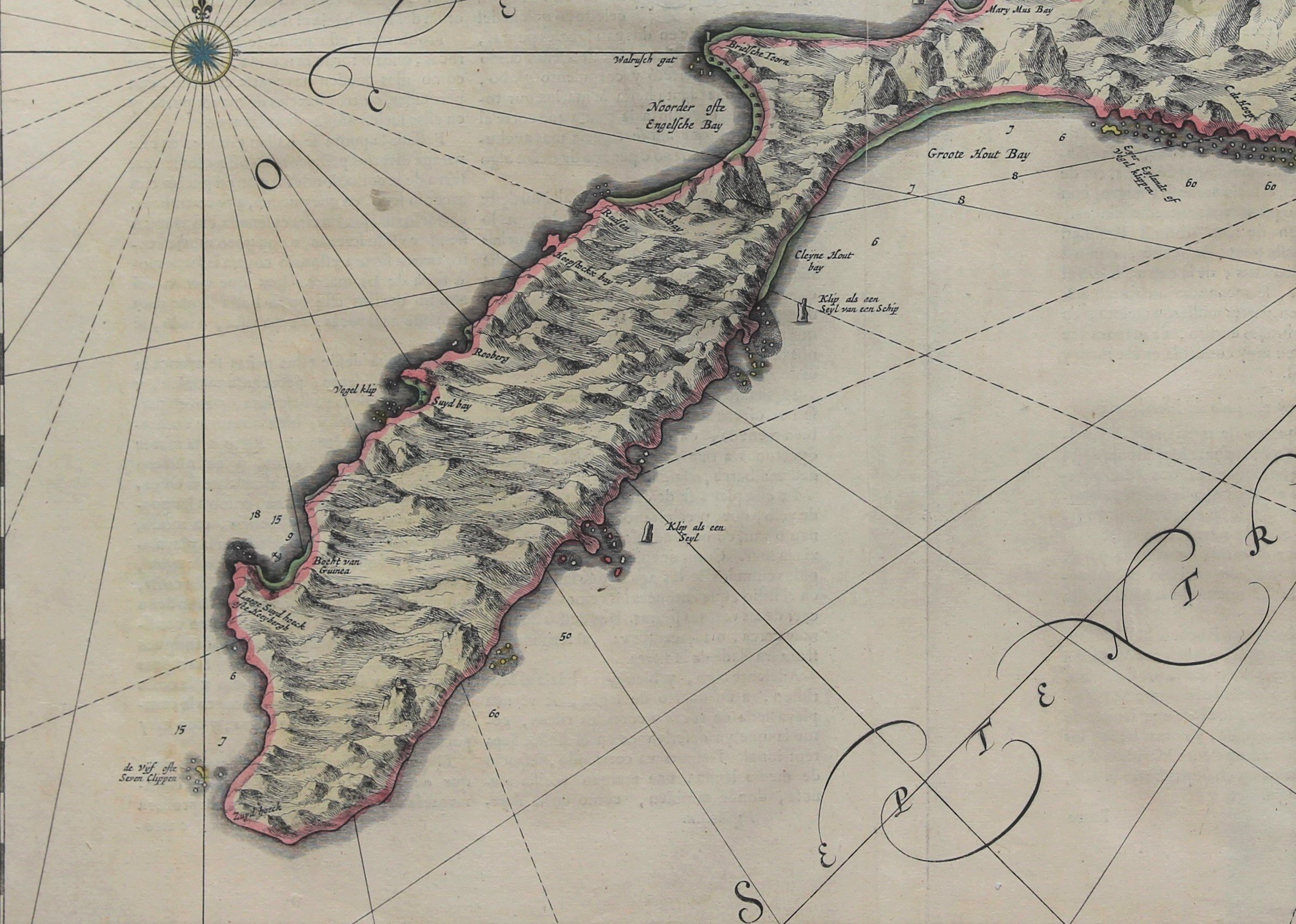
Jan Mayen – Insulae Johannis Mayen Cum universe situ Sinuum et Promontariorum
by
Joan Blaeu, Johannes Janssonius
A story of whale hunting
Detail
Date of the first edition: 1650 (by Johannes Janssonius)
Date of this map: 1659 (rare Spanish edition by Joan Blaeu)
Dimensions (not including margins): 44 x 54,5 cm
Dimensions (including margins): 52,7 x 61,3 cm
Condition: Very good. Sharp copper engraving printed on strong paper. Centre fold is as published. Fold left of centre fold. Original colouring. Wide margins.
Condition Rating: A
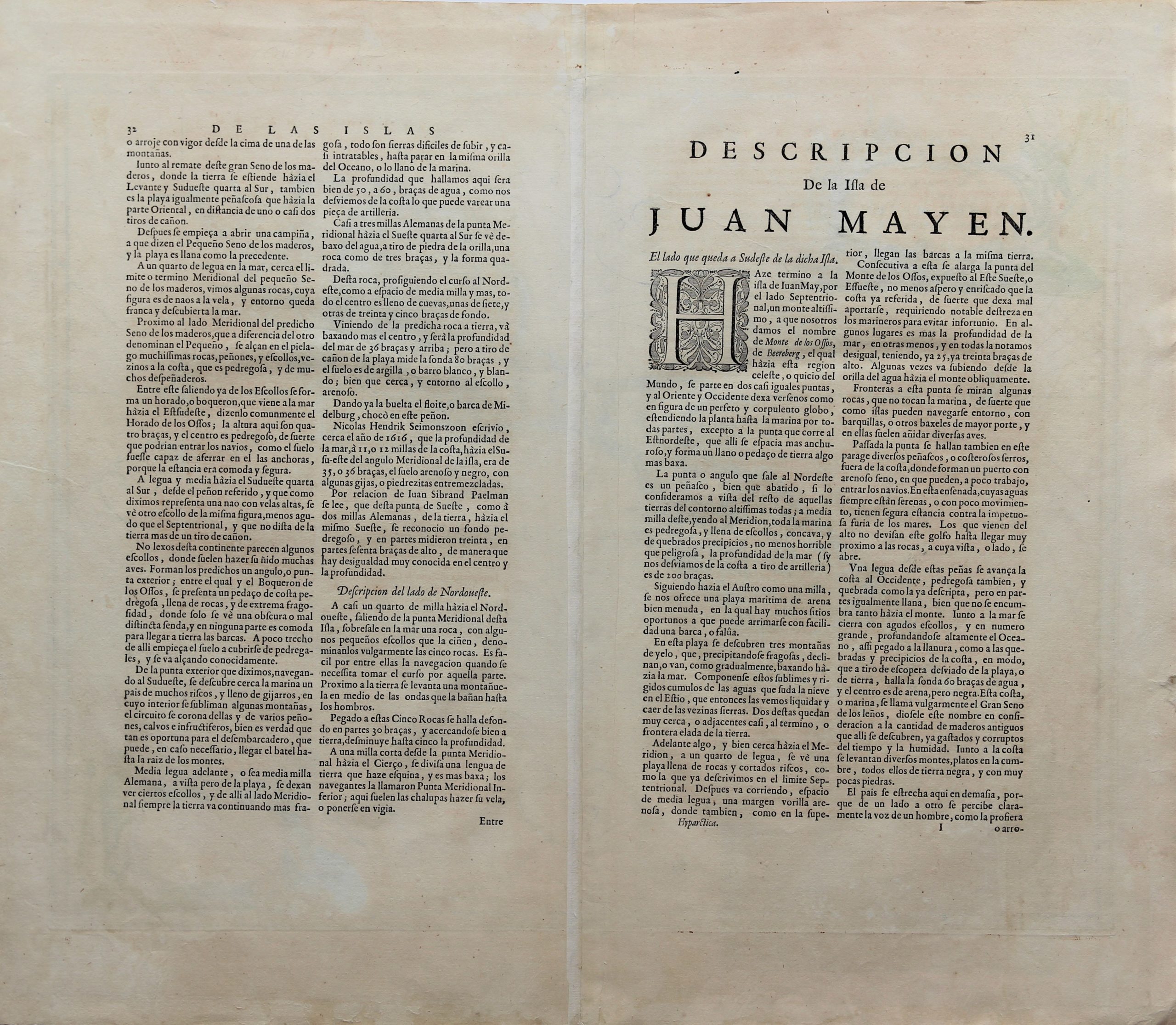
Verso: text in Spanish
Map reference: Van der Krogt 2, 1265:2
From: Nuevo Atlas, 1659; Van der Krogt 2, 2:641, 1, page 31
Unless otherwise specifically stated on this map page, we charge the following expedition costs in euro (unfortunatelly, gone up with Covid, but still too low in reality!):
– Benelux: 40 euro
– Rest of Europe: 60 euro
– Rest of the World: 100 euro
This item is sold
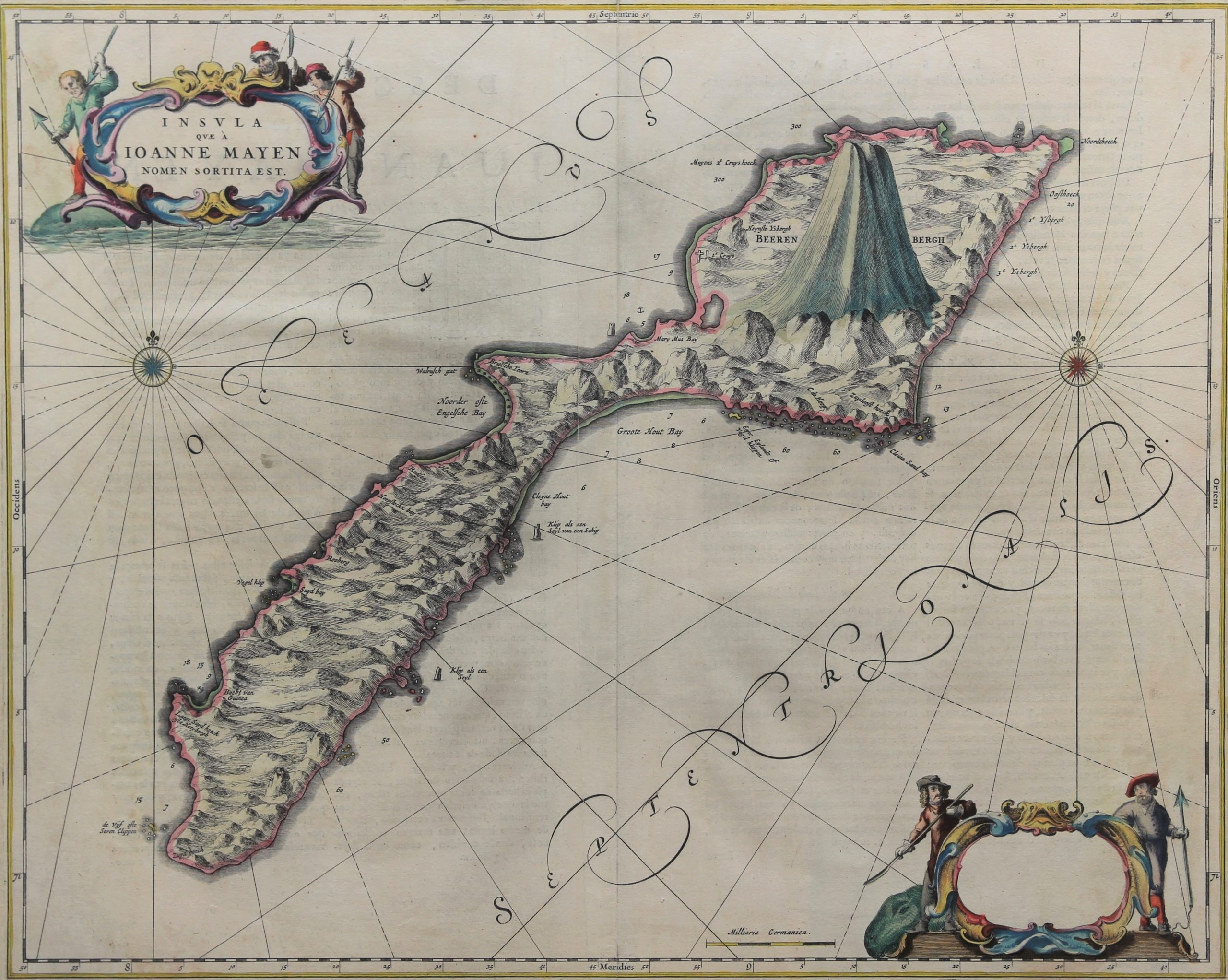
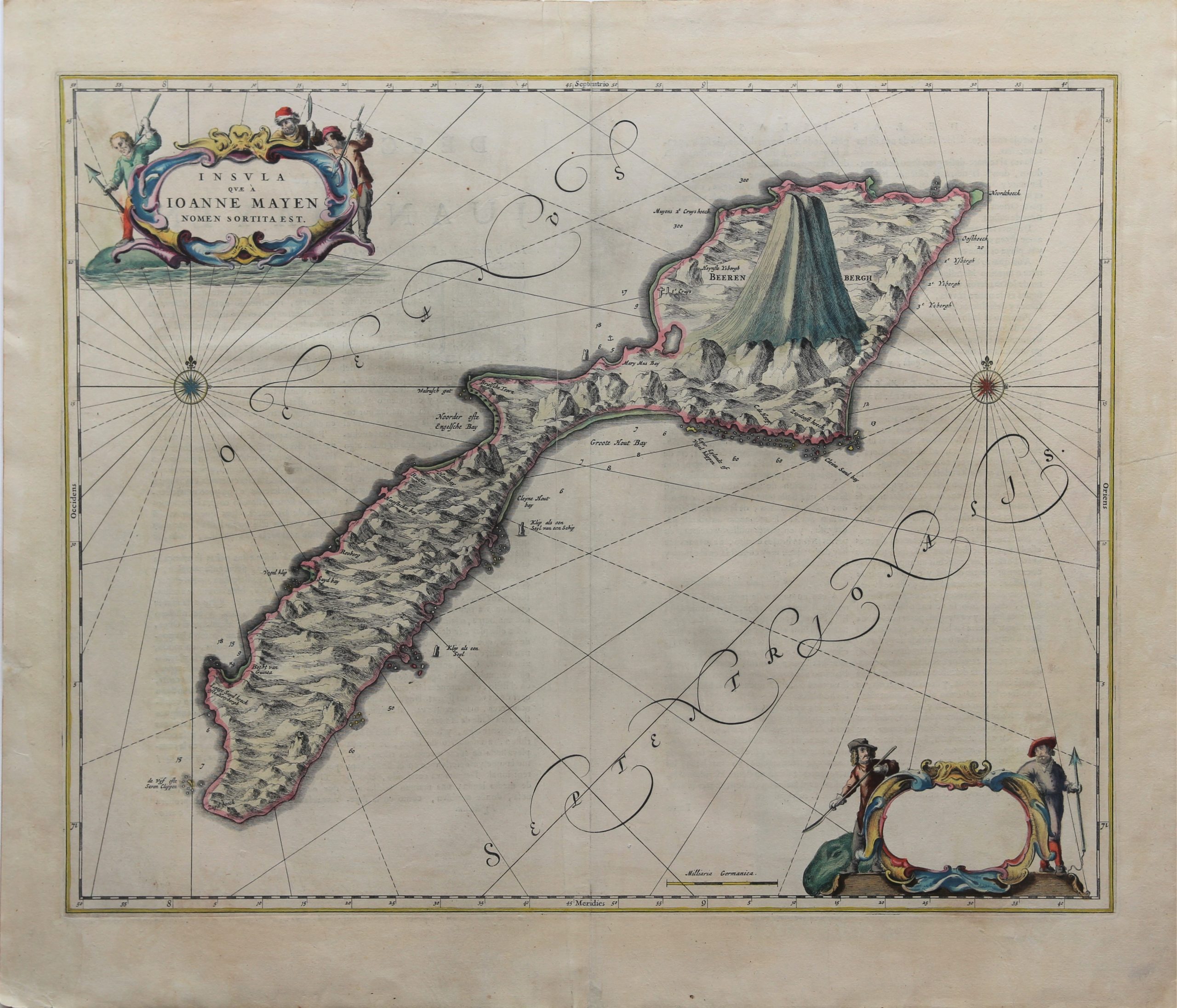
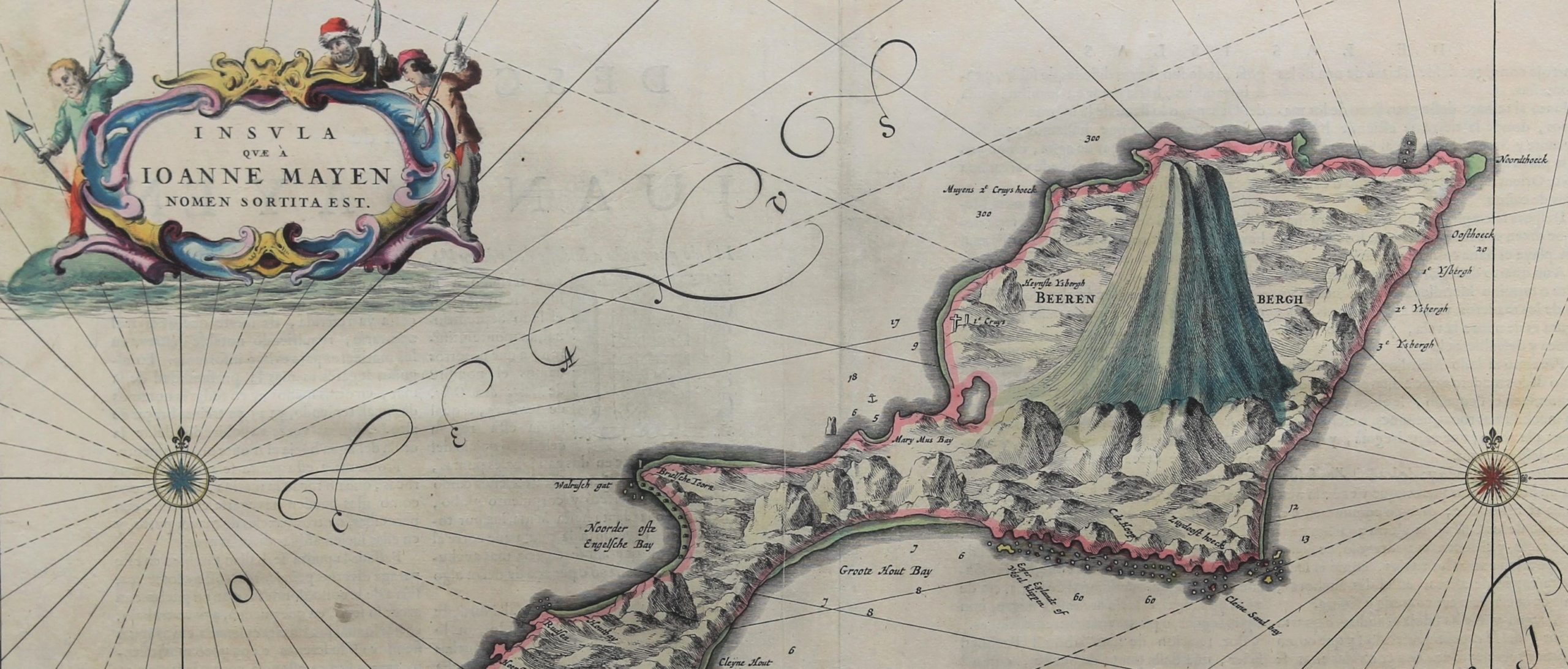
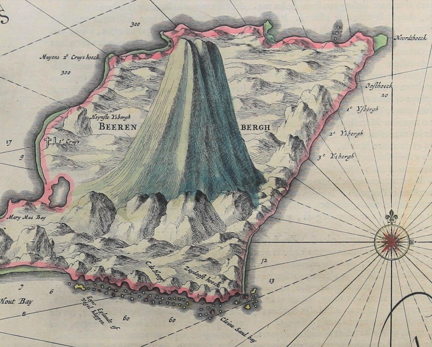


Jan Mayen
What’s in a name/place?
Before you read this article, search at “google earth” the name “Jan Mayen”. Done, ok? Right, now you have a first feeling about this island and this short study. The island lies (71°N / 8°W) 600 km northeast of Iceland, 500 km east of central Greenland and 1.000 km west of the North Cape, Norway, along the Mid-Atlantic Ridge. The island (55 km long and in total some 373 km²) is mountainous: its highest summit is the Beerenberg (“bearmountain”, still officially called so in Dutch) a volcano of 2.277 meters[1]. The isthmus of 2.5 km width, is the location two large lakes[2], the Sørlaguna (South Lagoon), and Nordlaguna (North Lagoon).
The early history of Jan Mayen is rather obscure. Some historians believe that an Irish monk, Brendan, who was known as a good sailor, was close to Jan Mayen Island in the early 6th century. He came back from one of his voyages and reported that he had been close to a black island, which was on fire, and that it was a terrible noise in the area. He thought that he might have found the entrance to hell. Viking sailors are also believed to have known about the island.
The first documented discovery of the island happened in the early 1600 when Dutch and English whalers sailed in the area in search of new hunting grounds. It is controversial whether a certain William Hudson may have seen the island while on expedition in 1607/1608. In January the Dutch established the Noordsche Compagnie (Northern Company), modeled on the Dutch East India Company, to support Dutch whaling in the Arctic. The island is named after the Dutchman Jan Jacobs May van Schellinkhout who visited the island in July 1614 when his first mate did some mapping of this barren volcanic place with some moss and grass and so honored his Captain. There were/are no indigenous inhabitants. The Dutch whalers established several whale oil boilers on the island where they extracted oil from the blubber of whales. In 1633 a “certain” Michiel Adriaenszoon de Ruyter sailed at the “Groene Leeuw” under Captain Jochem Jansen and stayed for 21 days at the island. When whaling was at its highest more than 1000 men were based on the island during the summer months. They also established fortifications on the island to protect their bases from plundering. As a result of the hunting activities the Greenland whale nearly disappeared and whaling near Jan Mayen came to an end between 1640 and 1650. The island was deserted and for the next 230 years only a few ships visited the island. Official Norwegian activity on Jan Mayen started and has been continuous since 1921 when the first meteorological station on the island was established. Weather reports from Jan Mayen are important for weather forecasting in Norway and the Norwegian Sea and in 1922 the Norwegian Meteorological Institute annexed the island for Norway[3]. By Royal Decree of 8th May 1929 Jan Mayen was placed under Norwegian sovereignty and by law of 27th February 1930 the island was declared a part of the Kingdom of Norway. The island was not occupied during the World War II, and remained as “Free Norway”. In 1943 the USA built the radio-station Atlantic City to check and locate secret German stations at Greenland! In 1970 the volcano at Beerenberg erupted again. Today, Norway still shoots about 250 whales per year around the island.
It is exactly this unique short-lived Dutch presence that was eternalized for us by the Blaeu family. Jan Mayen Island first appeared on Willem Jansz Blaeu’s 1620 edition map of Europe (but originally published by Cornelis Doedz in 1606). On the Europe chart, Jan Mayen and Spitsbergen were added as insets. Blaeu named it Jan Mayen and so he established the name. He also made a first detailed map of the island in his “Zeespiegel” atlas of 1623. His son Joan published a superb map of the island in the Atlas Major 1665 showing the island in all its grandeur. Remark the crosses left (West) of the Beerenberg. The Dutch also mentioned an “English Bay”! noticed Since Jan Mayen was deserted again by the late 1640ies for more than two hundred years, it is no wonder that only very few old maps of this island exist.
[1] The Beerenberg is not only the highest point in the Kingdom of Norway but also its only volcano.
[2] Not shown on the Blaeu map.
[3] And part of the Norwegian county of Norldand, to which it is closed located.