Canaan – Holy Land
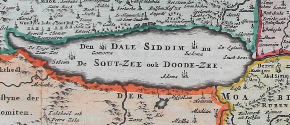
Detail
Date of first edition: 1657? (see description)
Date of this edition: 1657
Dimensions (not including margins): 32,2 x 47,4 cm
Dimensions (including margins): 41 x 56,8 cm
Condition: very good. Sharp copper engraving printed on paper. Centre fold is as published. Superb hand coloured. Wide margins; top margin is a bit wrinkled.
Condition rating: A
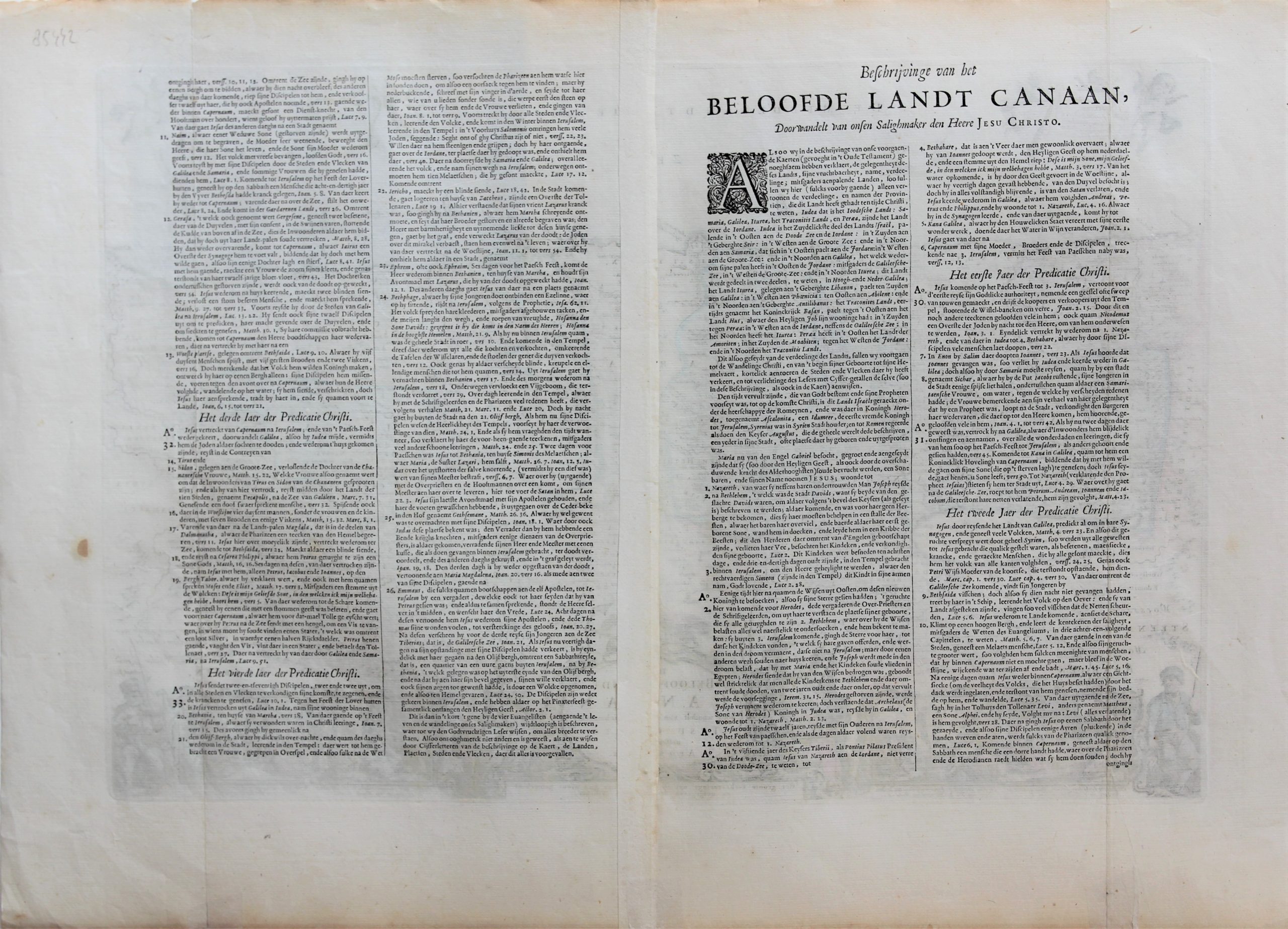
Verso: Dutch text
Reference: Laor, 791, Poortman (Kaarten in Bijbels), p. 184, plate 122
In stock
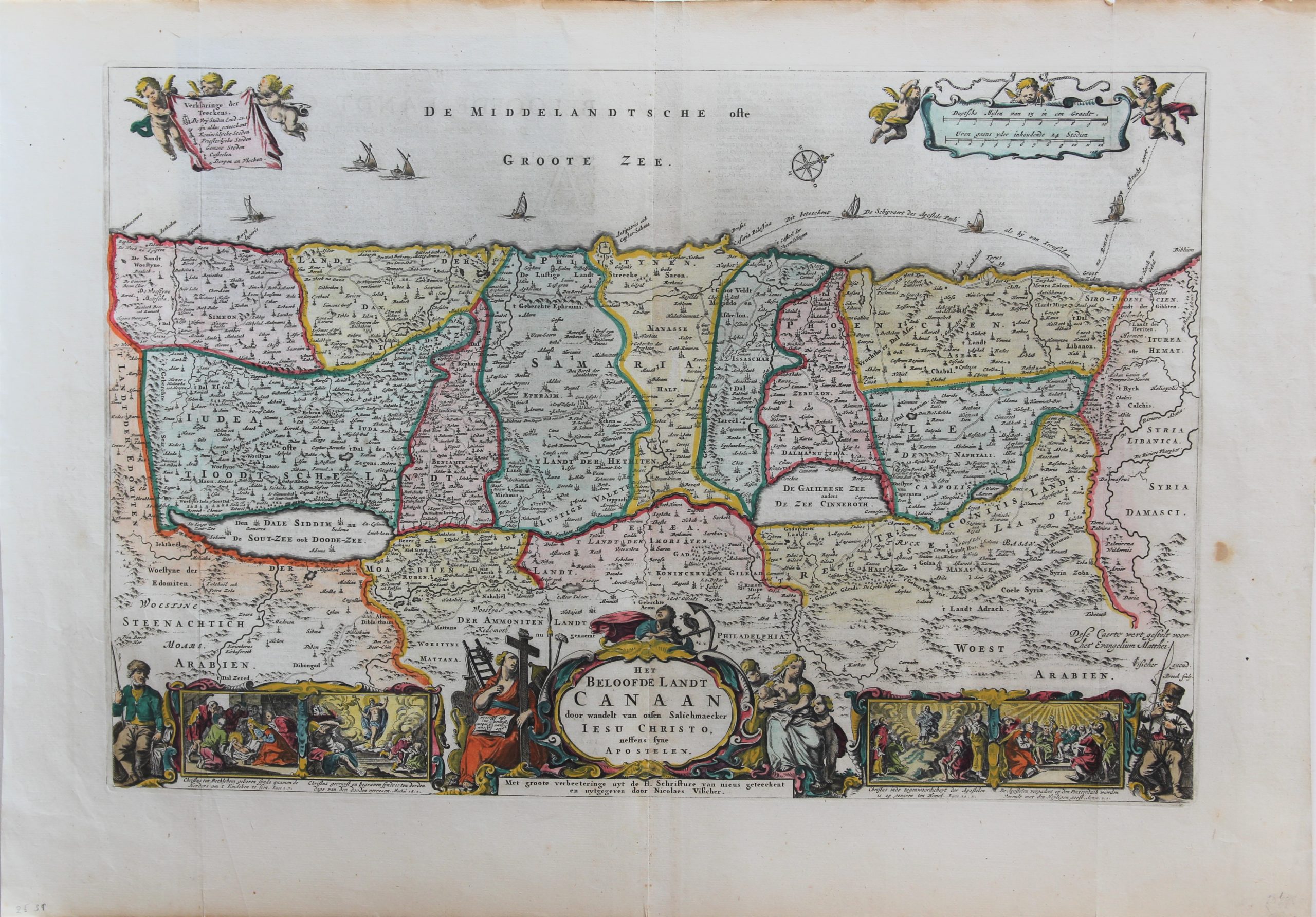
Canaan
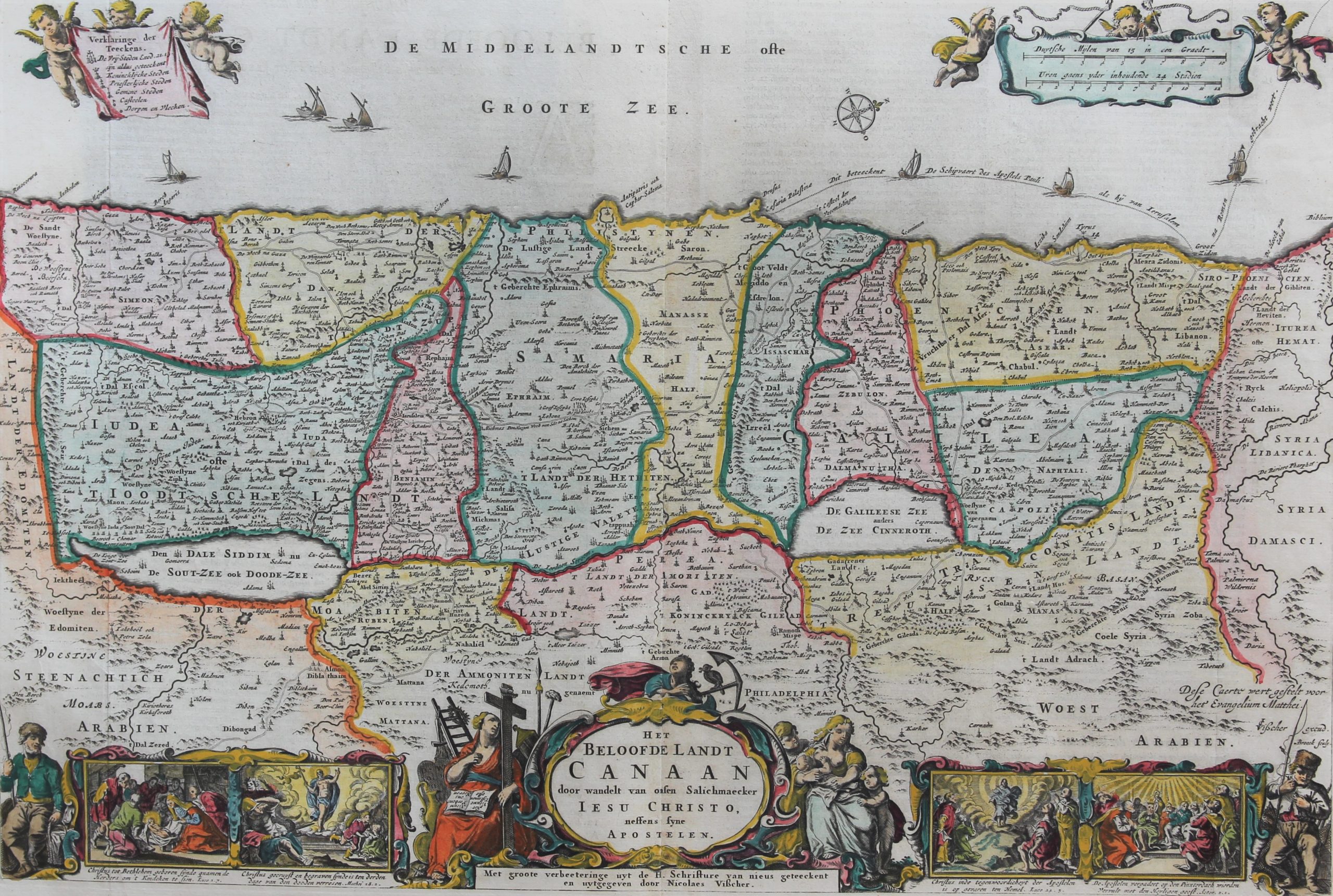
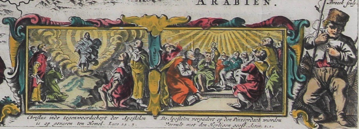
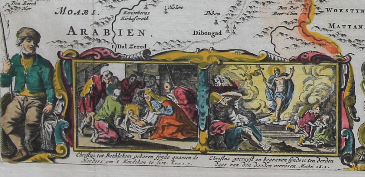
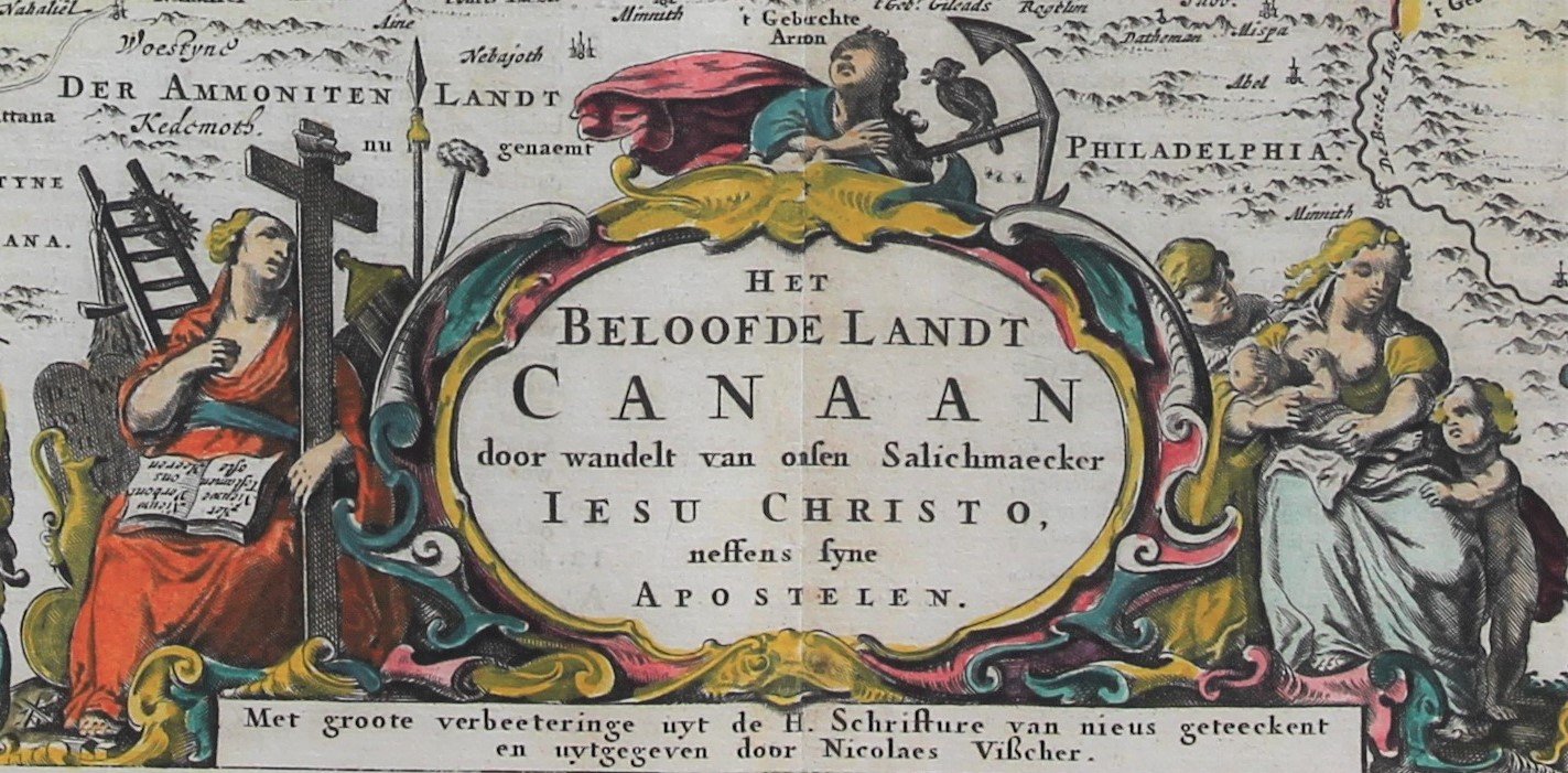
A decorative map depicting the Holy Land with 4 scenes from the life of Christus, 3 cartouches and two fisherman.
Orientation W.N.W. Full title: Het Beloofde Landt Canaan door wandelt van onsen Salichmaecker Iesus Christo, neffens syne Apostelen
This map was published by Nicolaes Visscher I (1618 – 1679) in ca. 1657. However, his father Claes Janszoon Visscher is mentioned as ‘excud.’. The map was probably prepared by Claesz Janszoon and finished by Nicolaes. No publications before 1657 are known.
The putti on top are added by Nicolaes Visscher.
The map was insertedin the Dutch translation of the bible.
Etymology
The origin of the word Canaan is uncertain, possibly related to the Egyptian word for westland. Another possibility is that it is related to a word meaning red purple (wool) and that Canaan was the country from which this red purple was exported, a meaning that would have been carried over from that of the word Phoenicia. The name Canaan already appears in Egyptian texts of the 16th century BC.
