Quadrant
by
Joan Blaeu
Detail
Date of first edition: 1662
Date of this edition: 1664
Dimensions (not including margins): 26,5 x 40 cm
Dimensions (including margins): 31,5 x 53
Condition: Mint. Sharp copper engraving printed on paper.
Condition rating: A+
Verso: text in Dutch
Map reference: Van der Krogt P-Brahe#13:2
From: Grooten Atlas, oft Werelt- Beschryving, in welcke ‘t Aerdryck, de Zee, en Hemel, wort vertoont en beschreven. Van der Krogt 2, 2621
Price (without VAT, possibly to be added): €650,00 (FYI +/- $721,50 / £578,50)
Unless otherwise specifically stated on this map page, we charge the following expedition costs in euro (unfortunatelly, gone up with Covid, but still too low in reality!):
– Benelux: 40 euro
– Rest of Europe: 60 euro
– Rest of the World: 100 euro
In stock


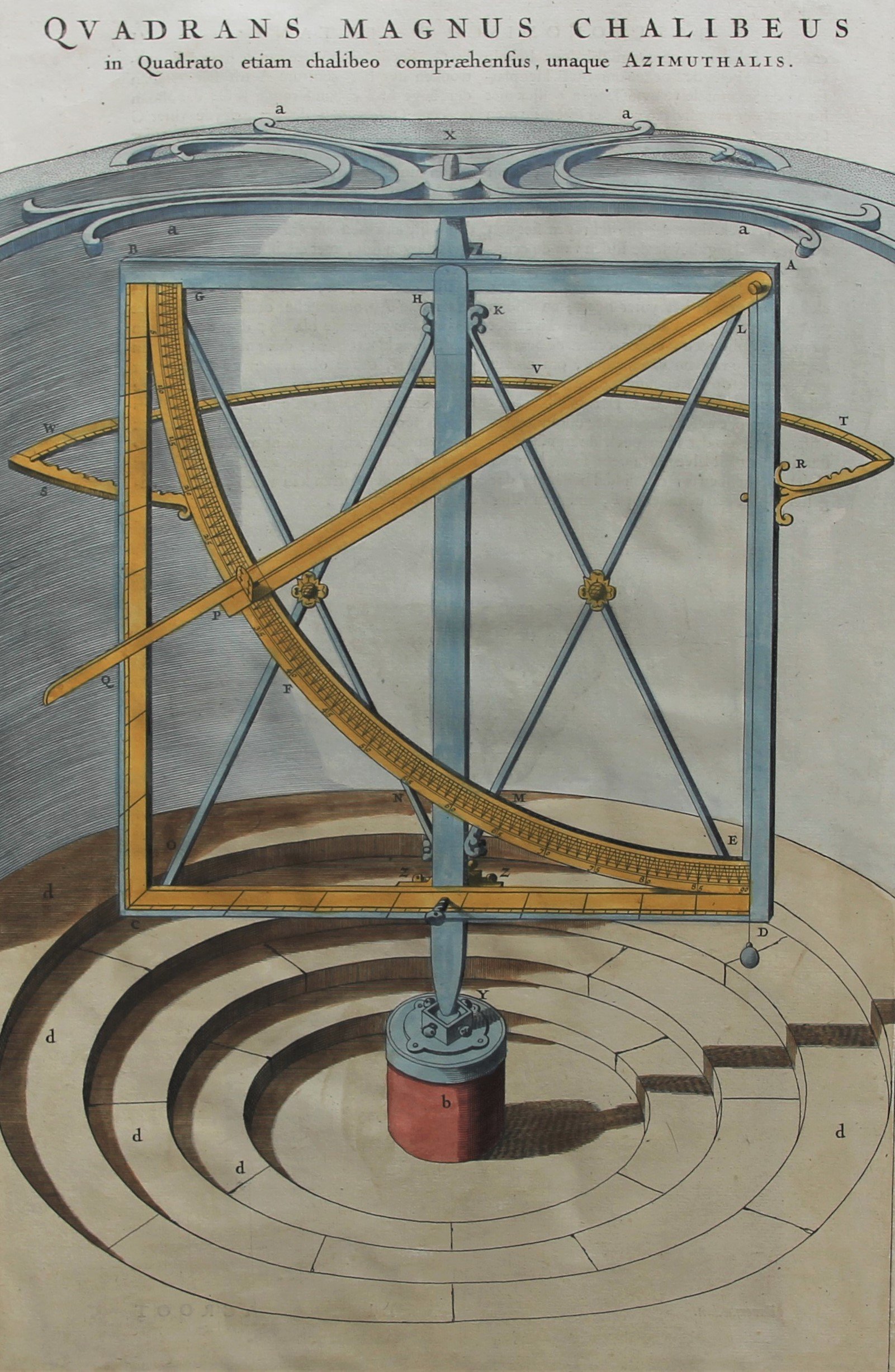
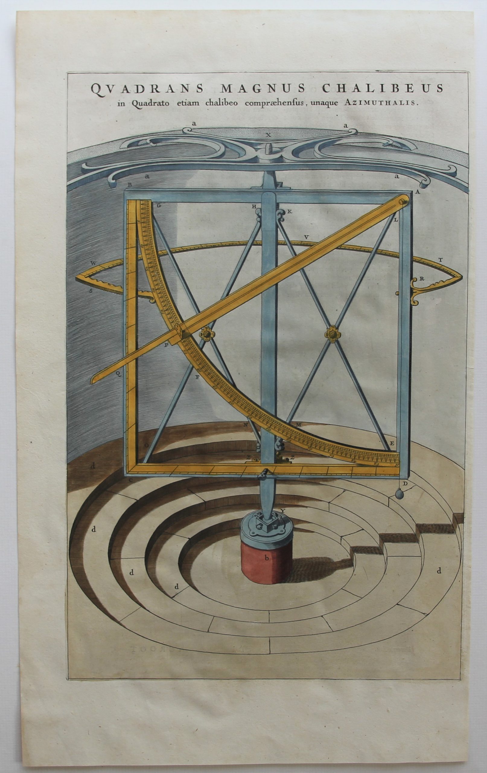
The Quadrant
The quadrant would have already been described by Ptolemeus. It is a navigation tool in the form of a wooden or bronze quarter of a circle. There were multiple types of quadrants. They helped to calculate a celestial body position, to determine the time and to record the latitude. In the thirteenth century it was rewritten by John the Sacrobosco in Paris and Jacob ben Machir ibn Tibbon (also called Profatius) in Montpellier. The disadvantage of the quadrant is its instability in case of a moving ship, so the use of this instrument at sea was not so practical. The bigger the instrument, the more accurate its calculations will be. The illustrated apparatus has been built by Brahe in 1588, and measured 194 cm
Original title: Quadrans Magnus Chalibeus in quadrato etiam comprehensus, unaque Azimuthalis