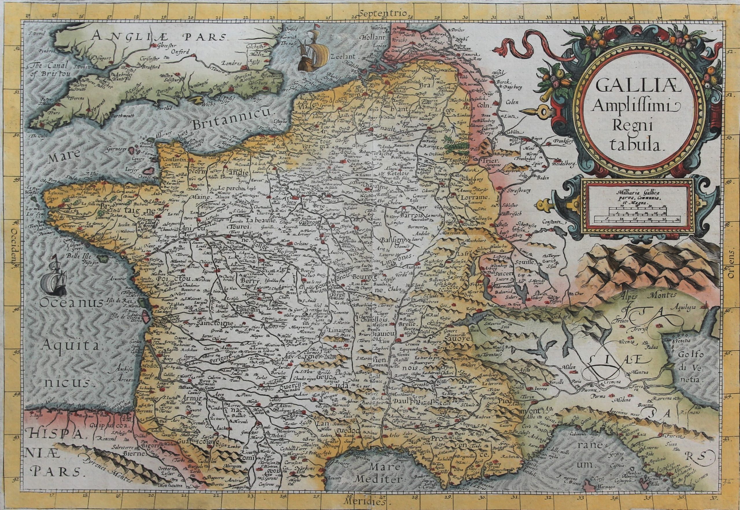
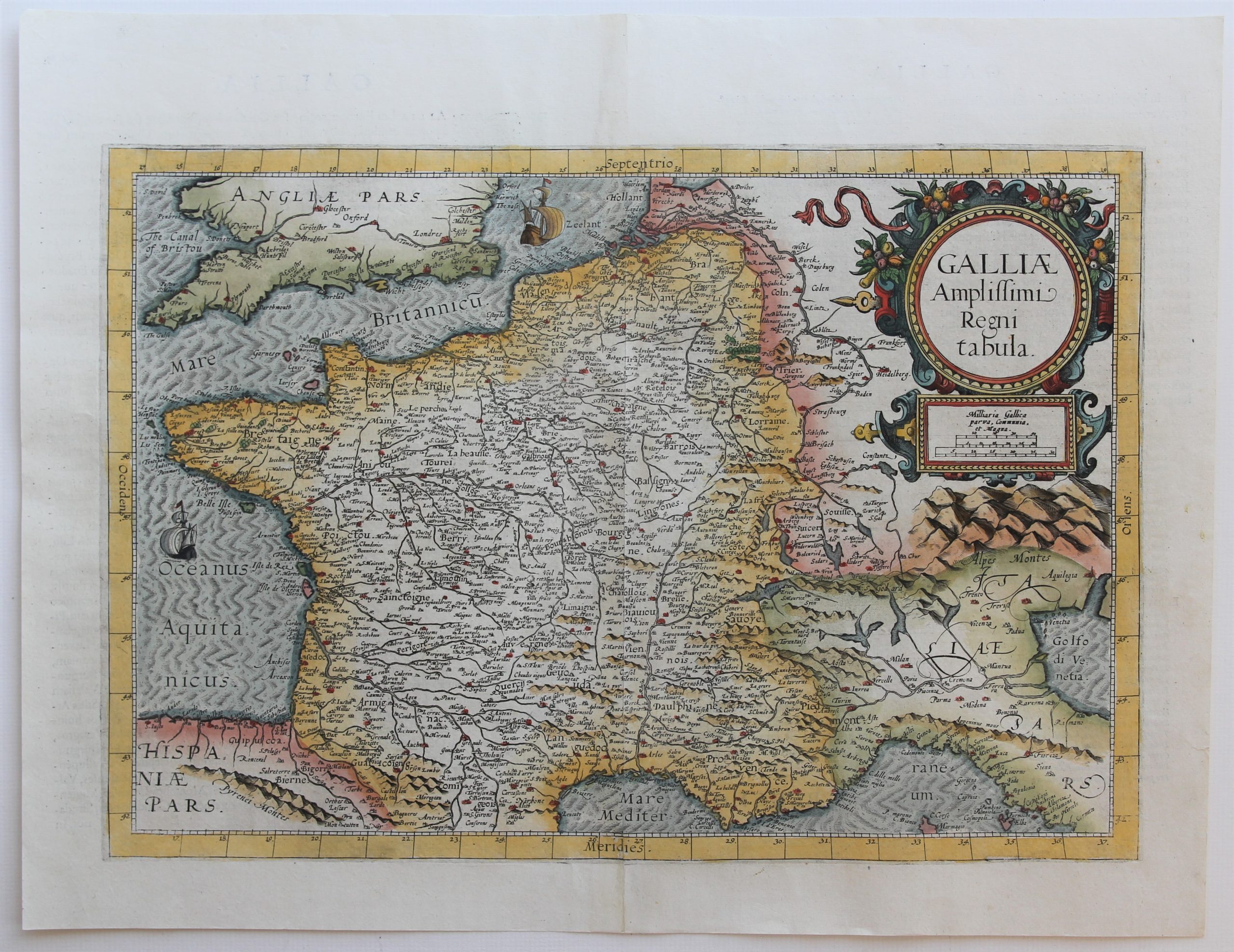
Gallia amplissima regni tabula
Detail
Date of first edition: 1593
Date of this map: 1593
Dimensions (not including margins): 31 x 45,5 cm
Dimensions (including margins): 40 x 51,5 cm
Condition: very good. Sharp engraving on strong paper. Centre fold as published. Wide margins. Small repair tear in right margin.
Condition rating: A+
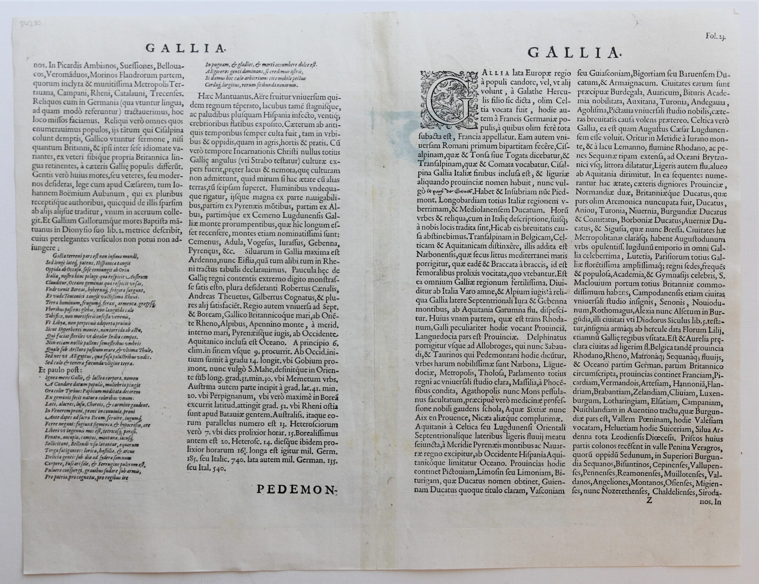
Verso: text in Latin
Map reference: Van der Krogt, IIIB, 4000:32B.
From: Speculum orbis terrae; Van der Krogt IIIB, 32:02, page 32, mention ‘Z’
In stock
de Jode
Gerard de Jode was a printer, publisher, cartographer and engraver in Antwerp, active the same time period as his business rival A. Ortelius. His main work Speculum Orbis Terrarum a major World Atlas, which is extremely rare today, could not be published until 1578, eight years later than the Ortelius Atlas Theatrum Orbis Terrarum in 1570. His son Cornelius de Jode reissued the Altas in 1593. The copper plates have been sold to J.B. Vrients after the death of Cornelius, but no further publication was done. Compared to Ortelius or Mercator maps, only a small number of copies have been printed and makes the maps of G. de Jode vary rare items today.
This map
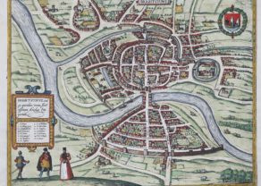
Rare antique map of France by Gerard de Jode. The map appeared only in the second edition of G. de Jode’s Atlas Speculum orbis terrae in 1593. To the top right a decorative title cartouche, in the Atlantic Ocean sailing ships.
