Stockholm
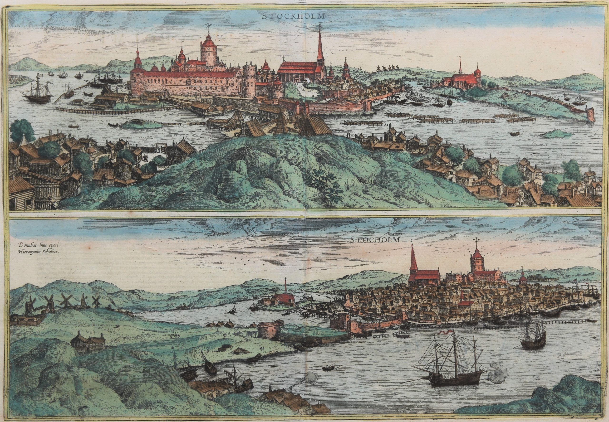
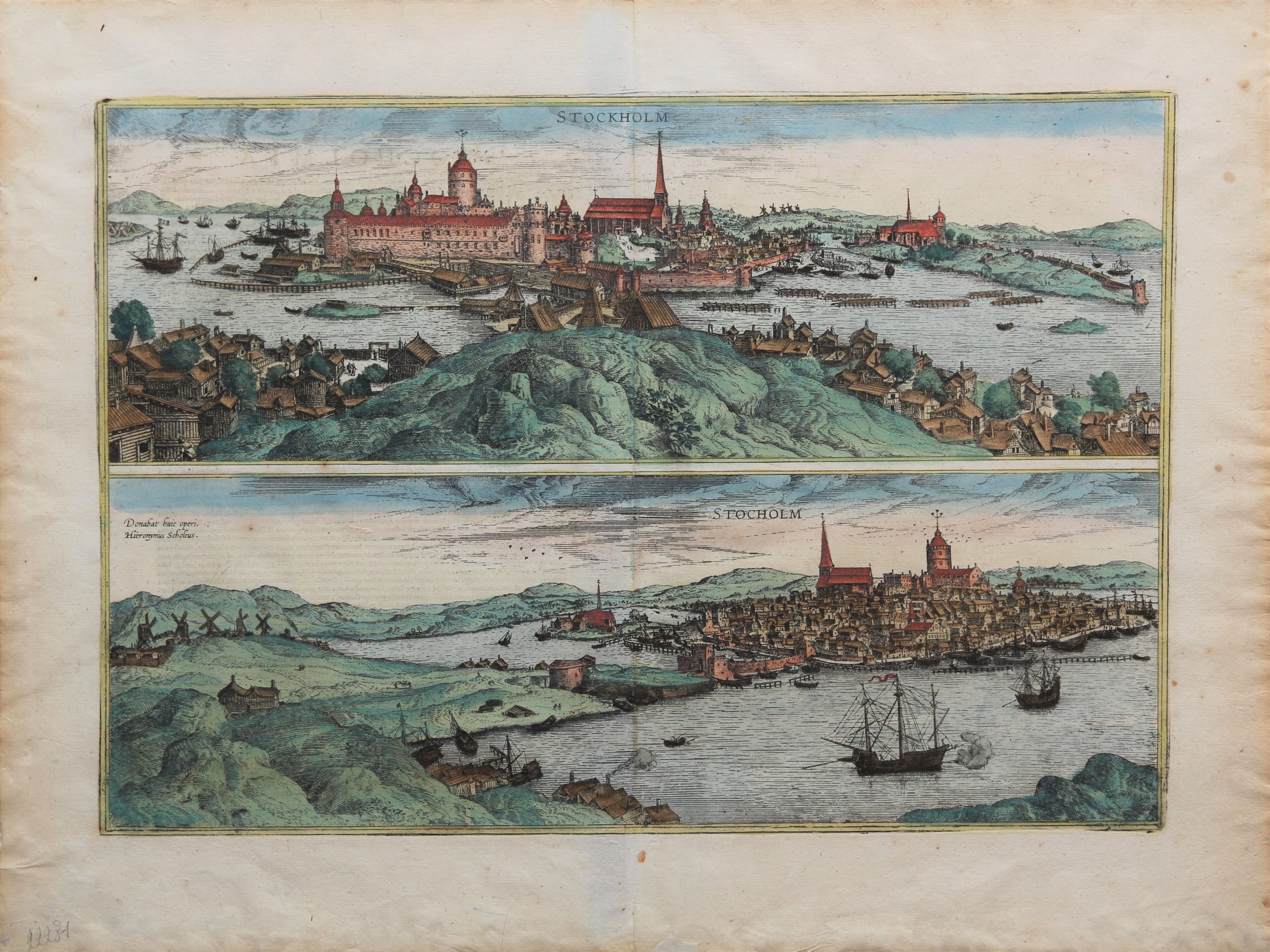
Superb two birds’-eye views (North and South) after Hieronymus Scholäus
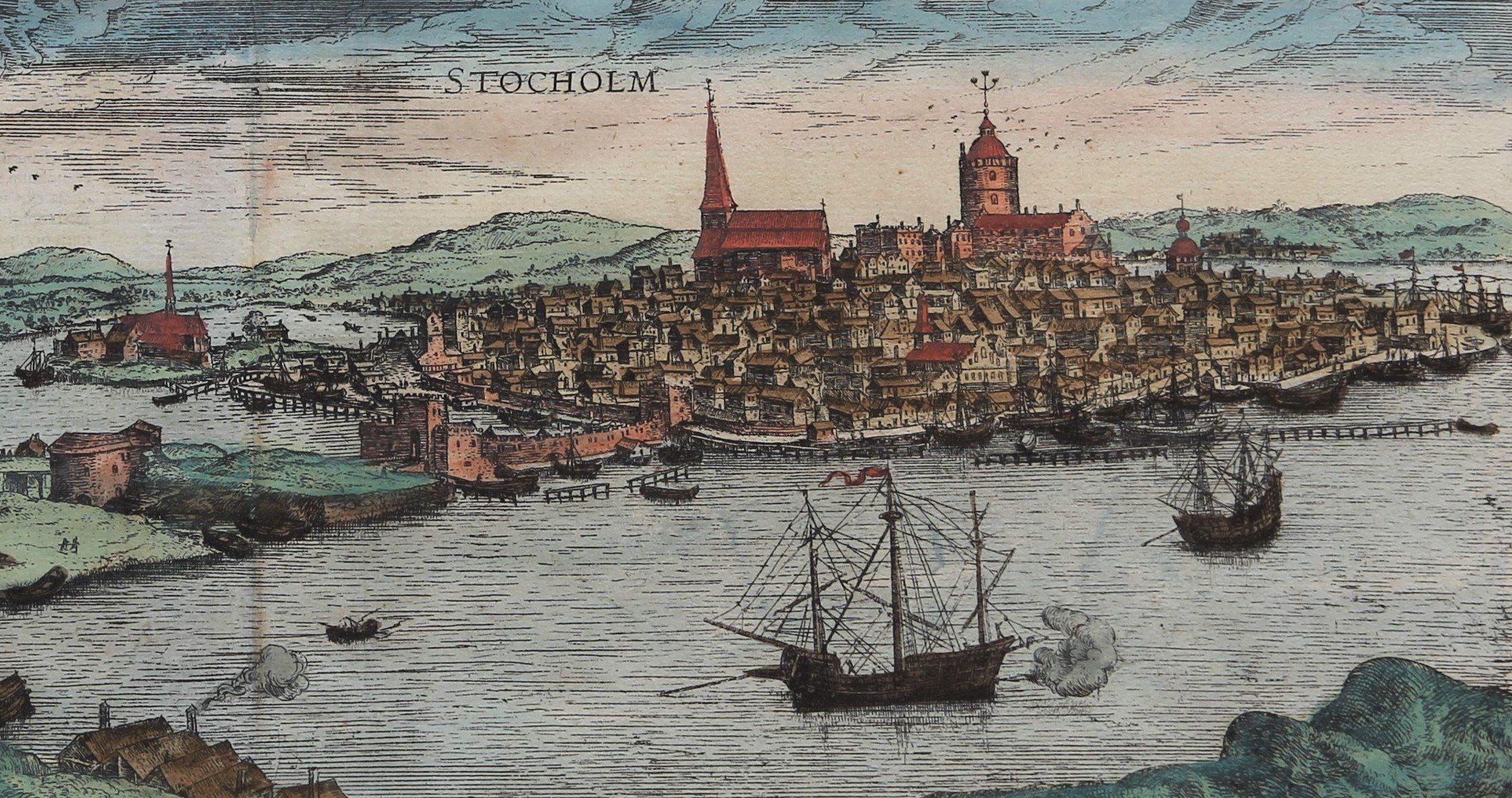
Detail
Date of first edition: 1588
Date of this map: 1588
Dimensions (not including margins): 32,5 x 47 cm
Condition: very good. Copper engraving on strong paper. Centre fold as published. Old colouring. Wide margins.
Condition rating: A
Map reference: Taschen, Br. Hog., p. 316; Van der Krogt 4134
From: Liber quartus Urbium Praecipuarum totius Mund. Cologne, 1588-1597. Koeman, B&H4; Van der Krogt 4,41:1.3, page 38
In stock
Stockholm commented by Braun
“Stockholm, which is celebrated for its commerce, large fairs and royal residences, is, however, an elegant city and, by virtue of its natural situation, one of the most secure cities in the entire Kingdom of Sweden because it is situated on a strait, which, moreover, is very deep, so that it is navigable by even the largest ships. […] In the foreground on the narrow neck of this strait is a castle, but on the opposite side the mouth of the strait has been so narrowed by pilings driven into the seabed with crossbeams set above them that those seeking to sail in or out can be easily overcome artillery.”
Taschen on Stockholm
The top engraving, showing the timber houses so typical of Scandinavia, is a view from the northeast across what was then the suburb of Norrmalm and is now the city centre, to the city located on islands, with the Baltic on the left and Lake Mälaren on the right. Stockholm started out as an entrepôt between the lake and the inland waterways. The town is first mentioned in 1252 by the statesman Birger Jarl. A powerful keep with a fortified inner bailey was laid out in the late 13th century. Further, the complex is dominated by what is now the cathedral of St Nicholas. In 1270 a Franciscan monastery (right) was founded in the western part of the city. Construction on the nearby Riddarholmen church, which is still in use, began in 1280. The bottom engraving shows Stockholm from the southwest, focusing on what was once the mercantile city as well as the port with its quay; an embankment causeway links the island with the mainland. The Hanseatic League had a trading post here from the 14th century and the presence of the German merchants was strongly felt in the city. Trade was in iron and copper from the inland mines. The warship in the foreground signifies that the city had no need of fortifications on the sea to its powerful fleet.




Stockholm in a superb double view:
This 16th century engraving is inspired by the drawing of Hieronymus Schol. Both illustrations show Gamla Stan (“Gamla” meaning old and “Stan”meaning inner city), downtown Stockholm on the central city island Stadsholmen. The top view (from the northeast) is familiar to today’s visitor: the mighty Kungliga Slottet (royal palace) dominates the scene. The name for the residence was Tre Kronor (still recognizable), but a fire would later destroy most of the castle in 1697. Next to the palace stands the St Nicolas cathedral, which became a Lutheran church since 1527.
One also recognizes many typical (Scandinavian) timber houses. Considering the Braun & Hogenberg atlas in production in those days: the more one goes East, the more timber houses are visible, contrary to the Western Europe where houses in brick are displayed!
The bottom view of the island shows the mercantile city where the Hanseatic League held a trading post since the 14th century. At the end of the 16th century the total population of Stockholm reached 10.000. It became the capital of Sweden in 1634.
Extra pictures: