Azores
Detail
Date of first edition: 1681
Date of this map: 1681
Dimensions (not including margins): 50,5 x 57,5 cm
Dimensions (including margins): 53,5 x 62
Condition: Good. Sharp engraving. Wide margins, except at top.
Condition rating: A
Verso: blank
Map reference: Koeman, Keu (96) First state; de Vries, Appendix 6, #110
From: De Nieuwe Groote Lichtende Zee-Fackel, ‘t Tweede Deel. … door Jan van Loon, en Claes Jansz. Vooght, … Amsterdam, J. Van Keulen, 1681; Koeman IV, Keu 57A
In stock
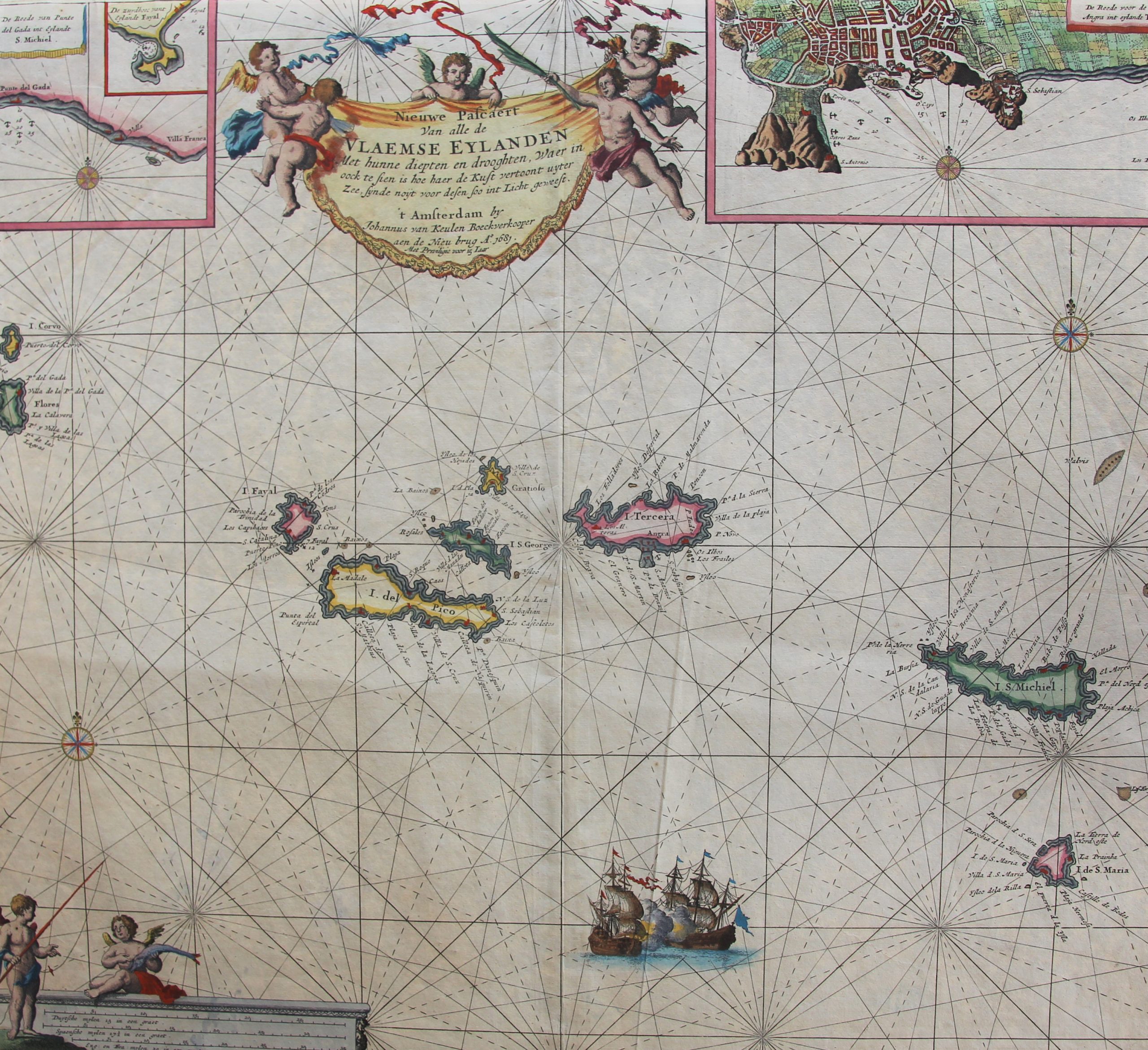
Azores or the Flemish islands
It is unclear by whom and when the previously uninhabited Azores were discovered. Traditionally, the Portuguese Gonçalo Velho Cabral and the year 1432 were put forward, but a maritime map by Gabriel de Valsequa from 1439 mentions a certain Diogo de Silves as discoverer of the archipelago in 1427. At this moment De Silves and 1427 are being kept. It is more than likely that Velho Cabral discovered the Formigas rock formation in 1431 and set foot on an island that he baptized Santa Maria on August 15, 1432 (name of after the birthday of the Feast of the Virgin Mary). Since there were many hawks on this island, the group of islands was later called Açores. The discoveries of San Miguel and then of Terceira (= the third) followed soon afterwards. The first documentary reference to the Azores is a letter from King Alfonso V dated July 2, 1439, referring to 7 islands. After all, the two western islands of Corvo and Flores were only discovered in 1452. Isabella of Portugal (1397-1472), third wife of Philip the Good, Duke of Burgundy, obtained a kind of usufruct in the Azores.
Due to ongoing local unrest and poverty in Flanders, many Flemish people decided to settle in the Azores under Isabella’s impulse. Although the islands were never Flemish/Burgundian possession, the islands were called the Flemish Islands (Vlaemse Eylanden). The Flemish and Northern French presence was impressive: it is estimated that around 1490 about 2.000 Flemish people lived on the islands of Terceira, Pico, Flores, Sao Jorge and mainly Faial. Past adventurers included:
• Jacob van Brugge who founded Vila da Praia on Terceira in 1451. It could be argued that the colonial history of Flanders and Belgium begins with him;
• Joost de Hurtere who became administrator of Faial in 1464, where he founded the city of Horta. Flamengos, the inland higher situated place, still refers to the Flemish presence. From 1484 he also became administrator at Pico. The capital Horta on Faial is a corruption of Hurtere;
• The merchant Willem van der Hagen, who became known by his Portuguese name Guilherme da Silveirade. This bastard son of John the Fearless first settled with the Hurtere on Faial, but through disagreements between the two of them he left for other islands: he became governor on Flores and Corvo and also lived on Terceira where his eight children grew up who made sure that the name Silveirade became an established family name there and has remained to this day.
The Flemish heritage on the islands includes: the lace, the oxcart, the beguine mantle and the windmills (mainly on Faial).
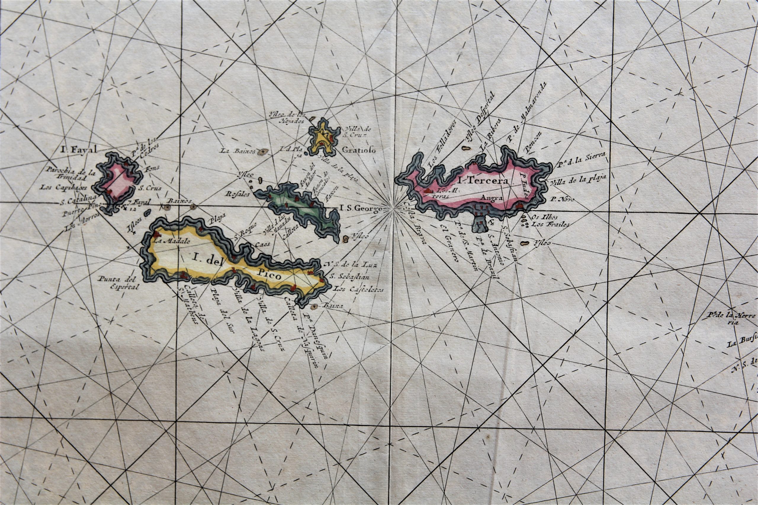
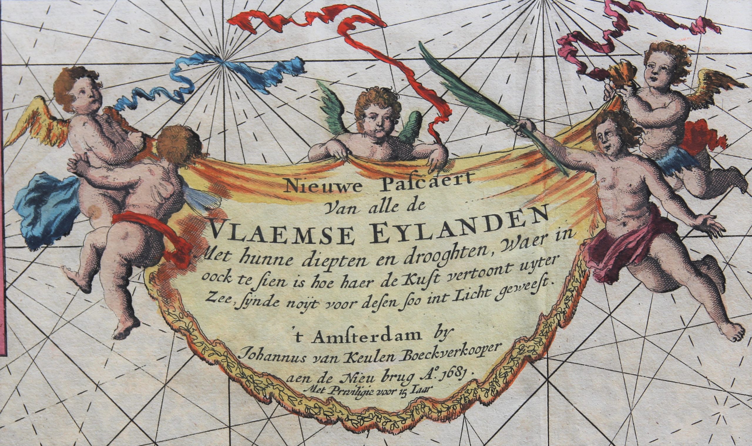
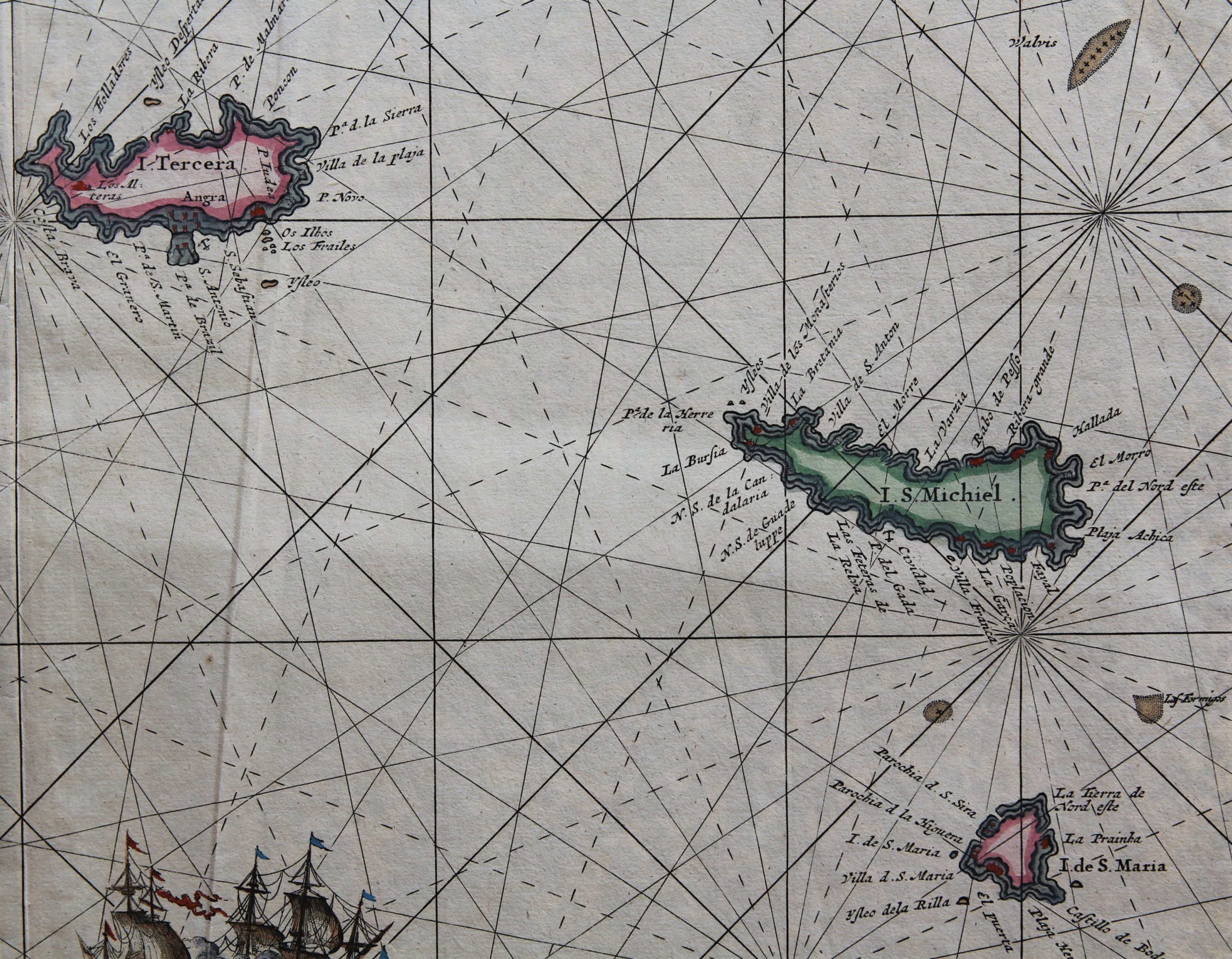
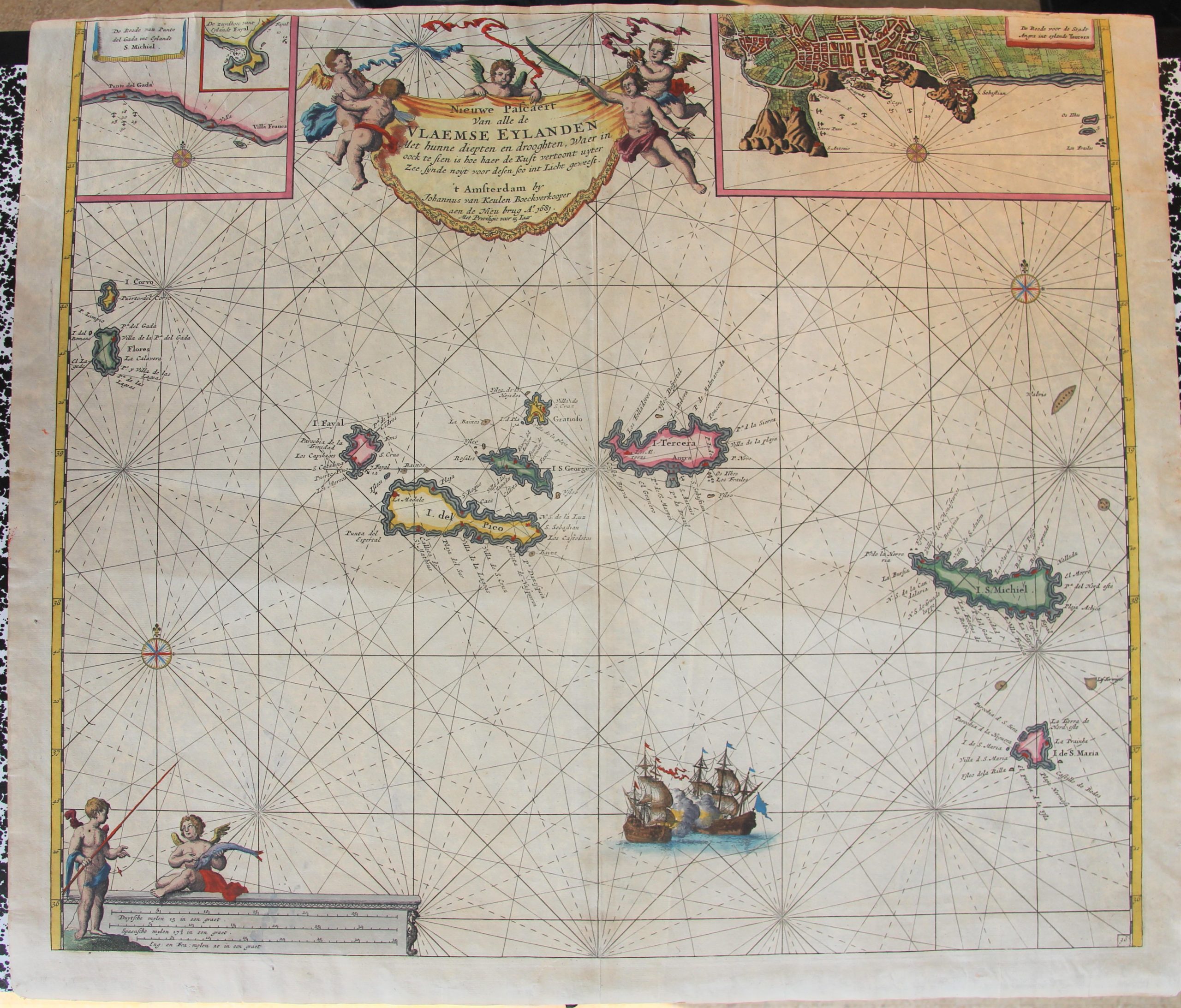
This Nieuwe pascaert van alle de Vlaemse eylanden shows depths and droughts (on a scale of 1: 1,400,000) and it was made in 1681 and published in the second part of the Zee-Fakkel from 1682 onwards. The 9 islands are seen in three groups, with the rock formation Formigas in the east.
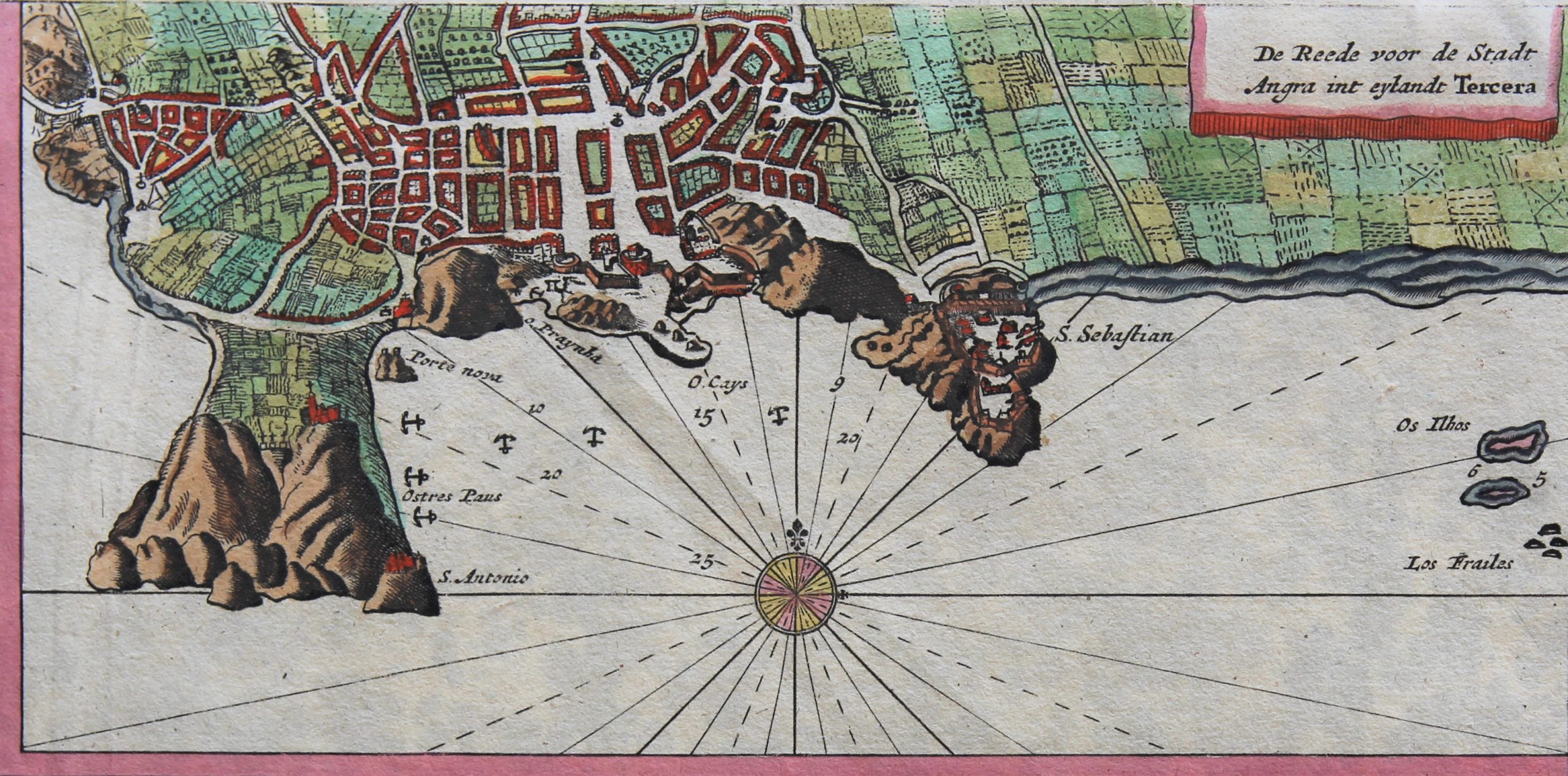
The inset at the right top is a bird’s-eye view of the city of Angra on Terceira, which was also depicted in a majestic way by van Linschoten about a hundred years earlier.
The inset at the left top shows the island S. Michiel.
