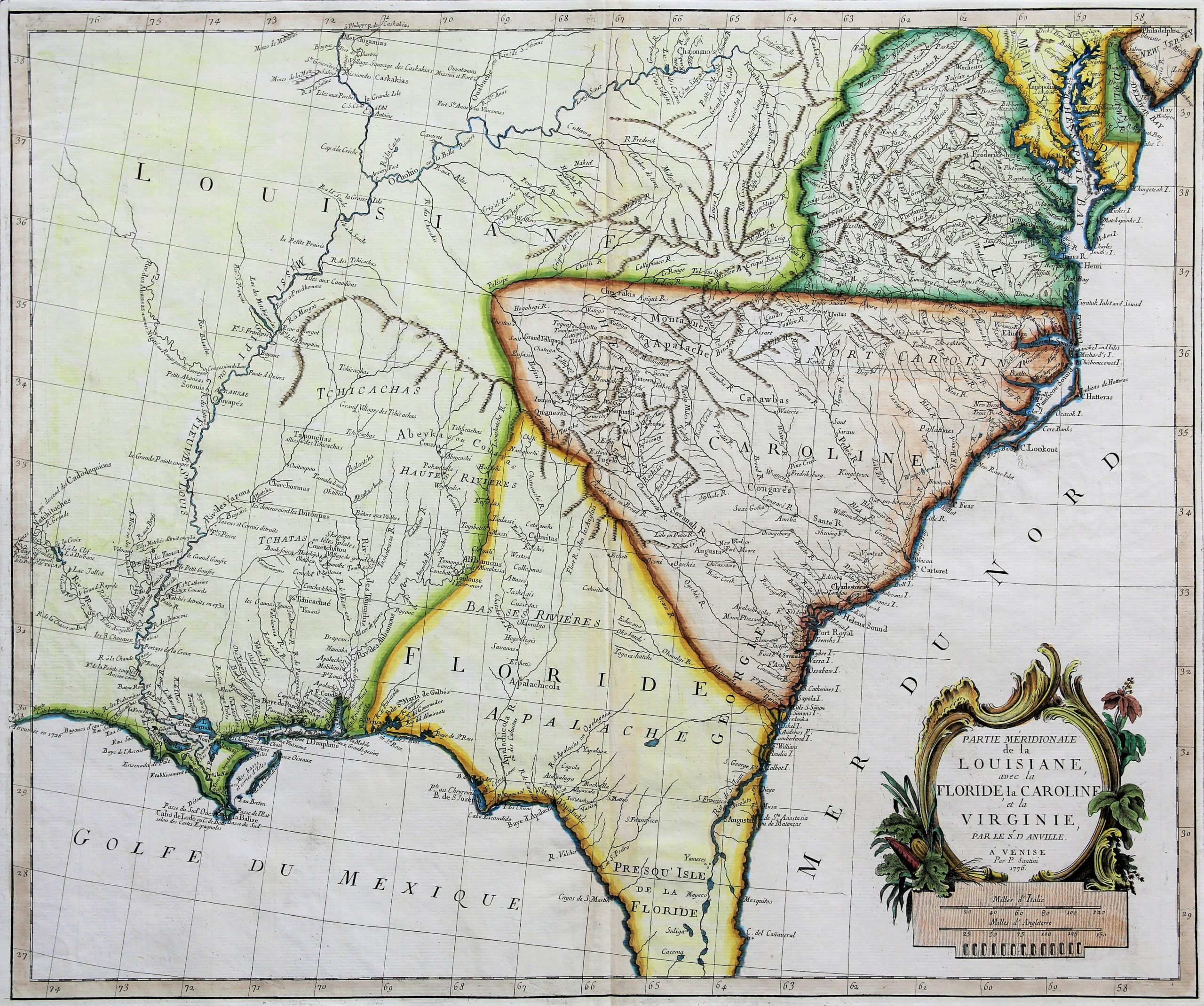
Louisiana, Florida, Carolinas & Virginia
Rare Italian colonial map: Year of Independence
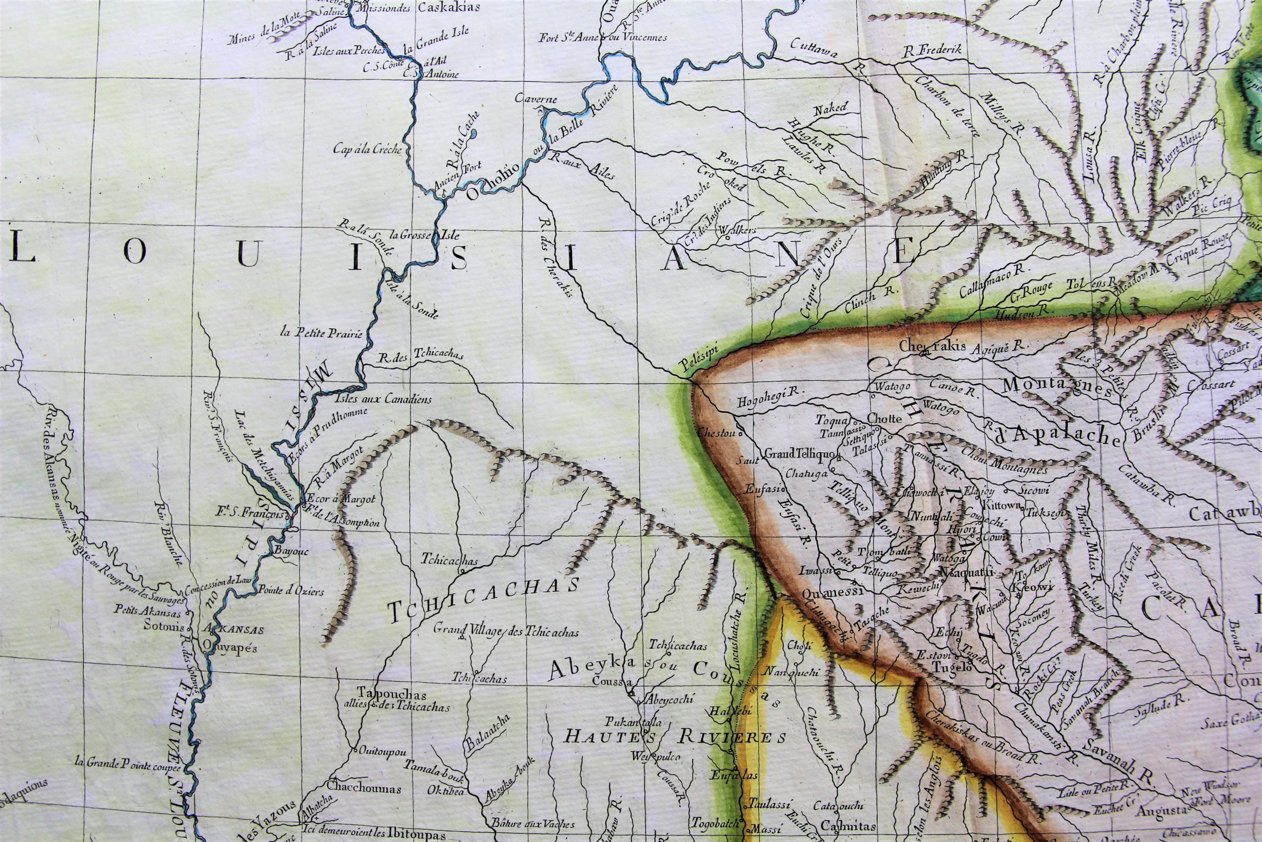
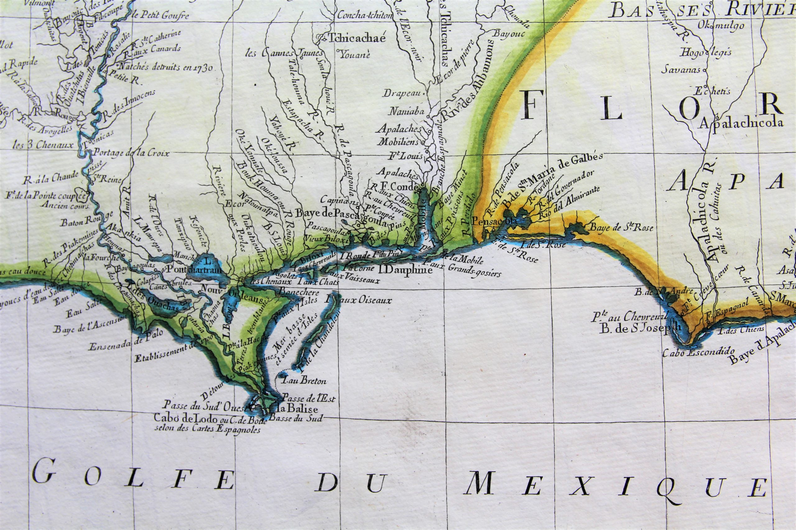
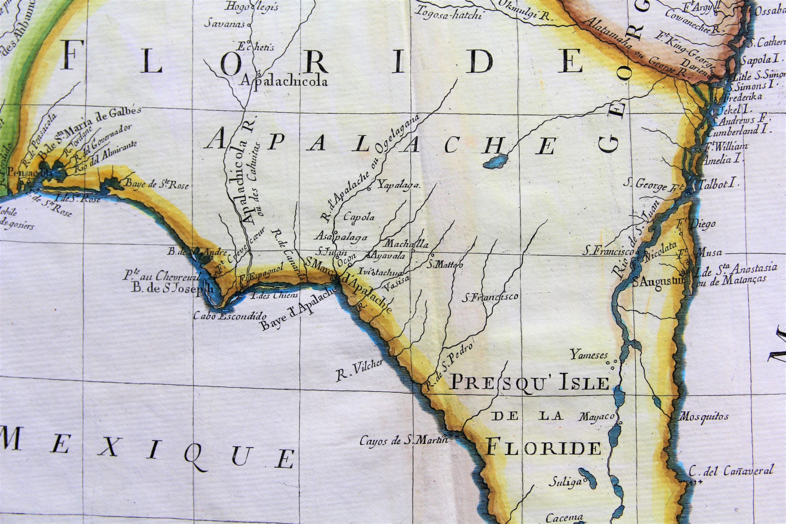
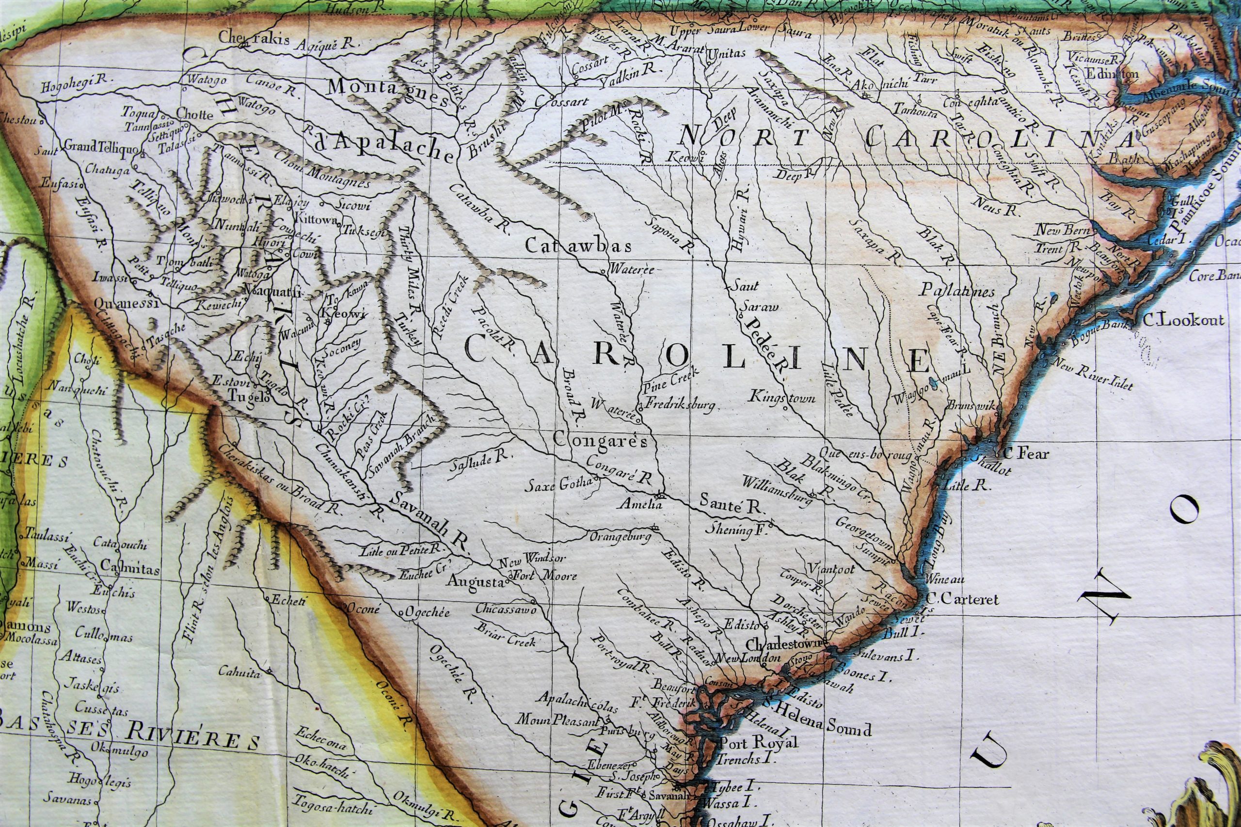
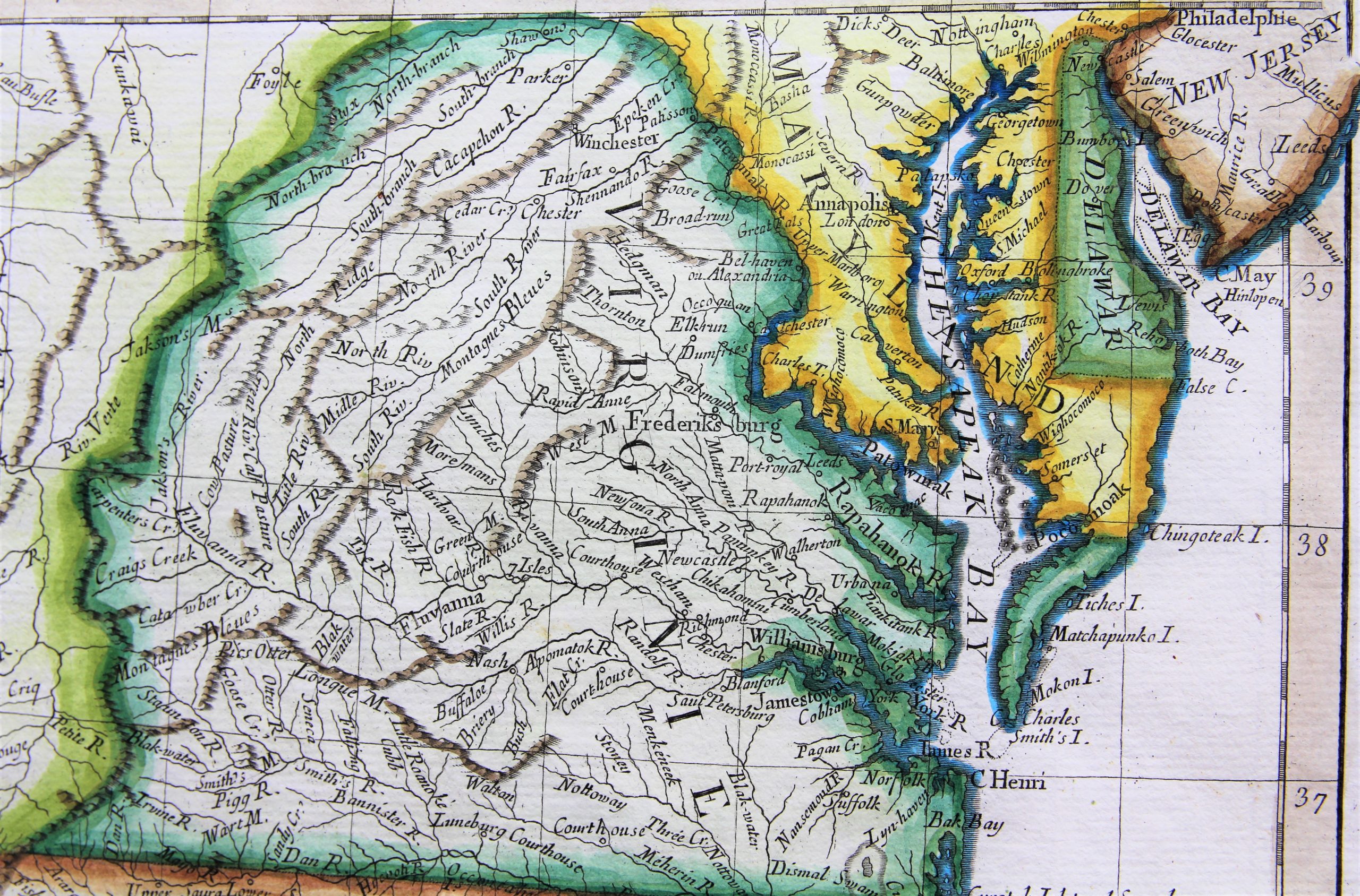
Detail
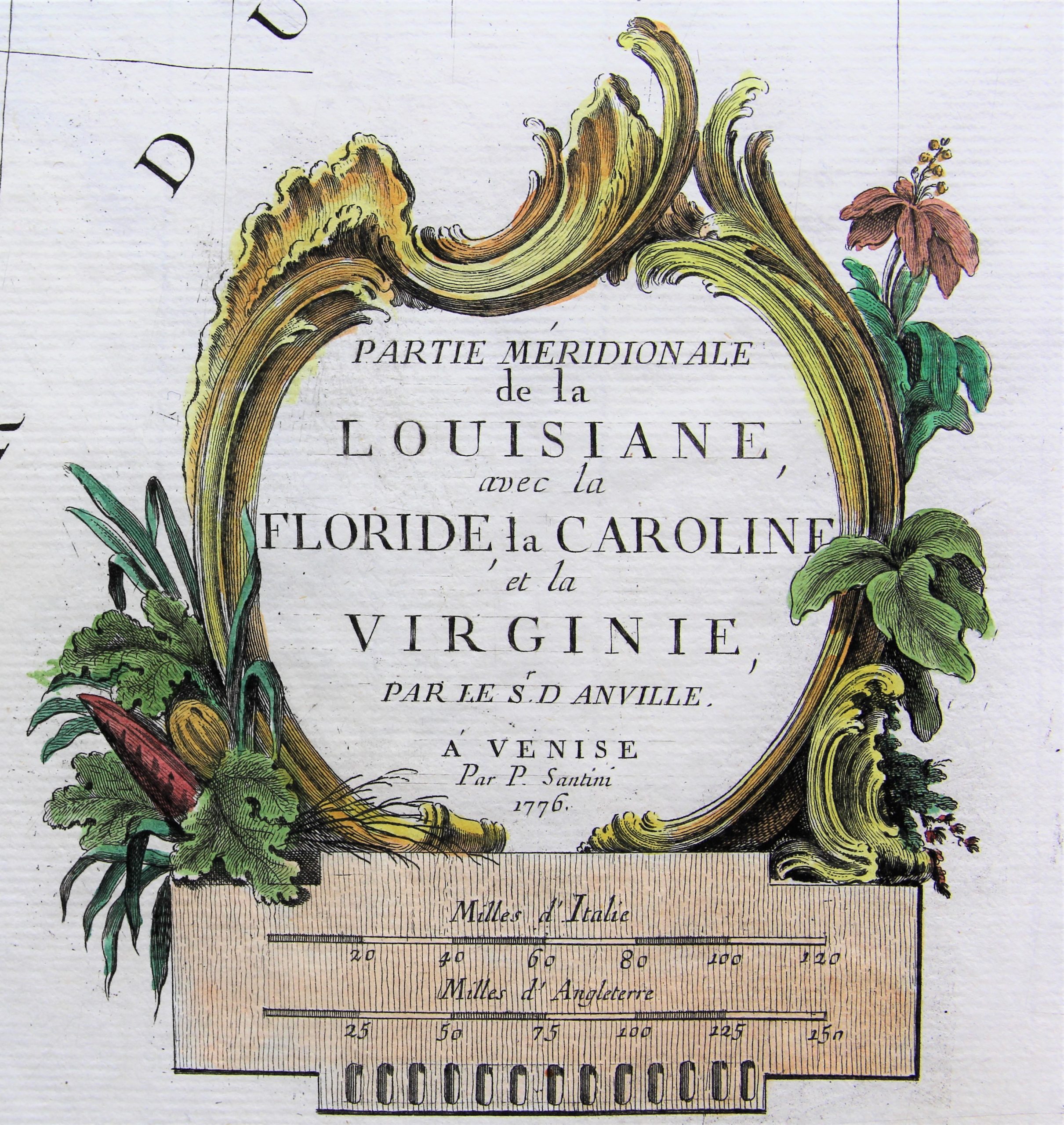
Date of first edition: 1776 (mentioned in the cartouche)
Date of this map: ca. 1776
Dimensions (not including margins): 48 x 57 cm
Dimensions (including margins): 50 x 72 cm
Condition: Very good. Strong paper with minor browning. Wide margins. Centre fold as published. Nice old colouring.
Condition rating: A
Verso: blank with indication “48”
From: Atlas universel dressé sur les Meillieures Cartes Modernes
In stock
Atlas universel by Francesco and Paolo Santini
Francesco Santini, a Venetian publisher, acquired the printing plates of Vaugondy’s Atlas Universel …, a commercial and cartographic success, with widespread influence on mapmakers throughout Europe. Together with his brother Paolo, he commissioned a new set of plates and reissued the atlas in 1776. The following year, Paolo Santini assigned all his publication rights to M. Remondini, who in 1777 reissued the same atlas but with his name.
Rare Italian map of the southern colonies in Colonial America at the outset of the American Revolution
This map covers a large part of southeastern USA: from New Jersey, the Chesapeake to Cape Canaveral. From Florida it runs west to Natchitoches and the Arkansas River, north along the Mississippi River to the Fort de Chartes area, and then east along the Ohio River, extending to include all of Virginia.
It provides detailed information of settlements and forts, mountain ranges, rivers and native American tribes. As the map dates 1776, it pictures the status of the country in this year of Independence.
While the map is described as a derivative of the work of D’Anville, it is uniquely Santini’s configuration.
Scale bar in Italian and English miles.
Title: Partie Meridionale de la Louisiane avec la Floride, la Caroline et la Virginie
