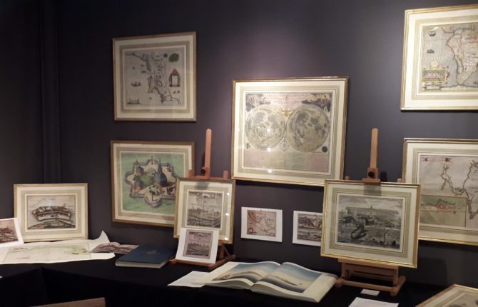
In our stand at MABP 2020 we presented a number of maps relating to the general theme of “Travels and Discoveries”.
Our stand showed many interesting maps.
On the main banner (above) and on several pictures below, have a look and “discover”:
Chatelain, Complete Atlas historique (seven vol.) with fabulous world map, 1721
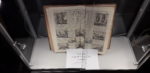
Prévost, Histoire générale des voyages (nine vol.), 1747
a double double folio map of the voyages of James Cook, by Schraemble, 1789
the observatory of Tucho Brahe at Hven, by Joan Blaeu, 1662
the first double Moon map by Doppelmayr, 1742
both Azimuth projects of the North and South Pole, by Hondius
Goa by Theodor de Bry, 1599
Jan Mayen by Joan Blaeu, 1659
Nova Zembla by Johannes Janssonius, 1644
a splendid view of Dejima, Dutch monopolist trade settlement in Japan, by van der Aa, 1727
Todos de Bahia (Bay of All Saints, Salvador, Brazil), Joan Blaeu, 1663
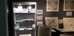
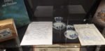
two cups of Chinese porcelain from the (in 1752) sunken VOC vessel “Geldermalsen”
the shipyard of the VOC at Amsterdam, by Caspar Commelin, 1726
Goa (on stand) and Jan Mayen (center right)
Chatelain
Prévost
Cups from the Geldermalsen
PS: the photos on the walls are HD pictures taken with respect to our third and last exhibition “The Flemish-Dutch cartography 1500 – 1700: The Dutch color the world.” You can find all these maps at our website.