Southern Africa or Aethiopia Inferior
Early version of a popular map
Detail
Date of first edition: 1634 (Willem Blaeu)
Date of this edition: 1635 (Willem and Joan Blaeu)
Dimensions (not including margins): 38,3 x 49,3 cm
Dimensions (including margins): 46 x 55,5 cm
Condition: Very good, strong image on strong paper. Original colouring. Centre fold as published. Wide margins. Verso: slight age-toning.
Condition rating: A+
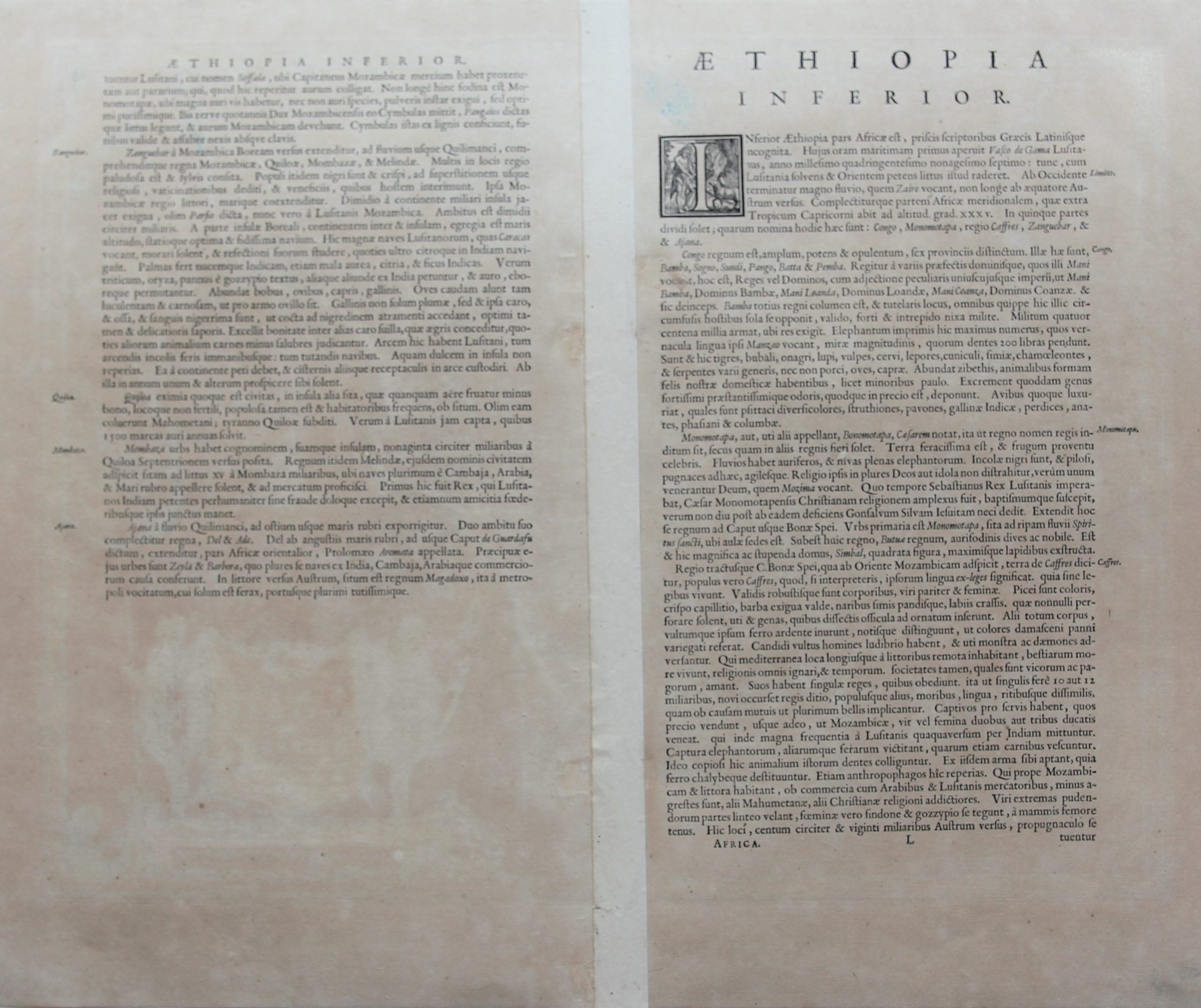
Verso: text in Latin
Map reference: Van der Krogt 8800:2
From: Theatrum Orbis Terrarum; Van der Krogt 2, 2:101; this map 1635: ‘L’ written on verso.
This item is sold
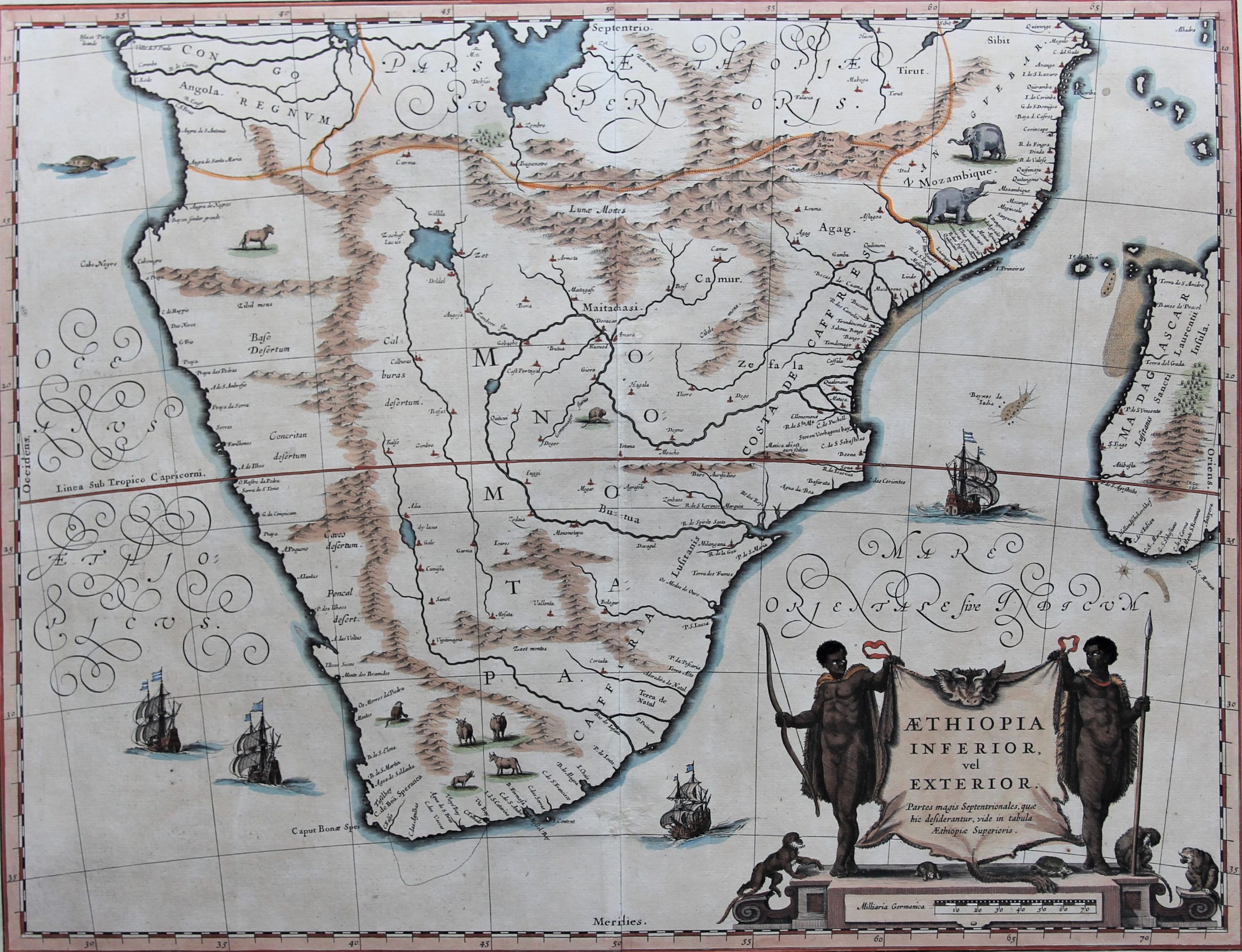
Southern Africa
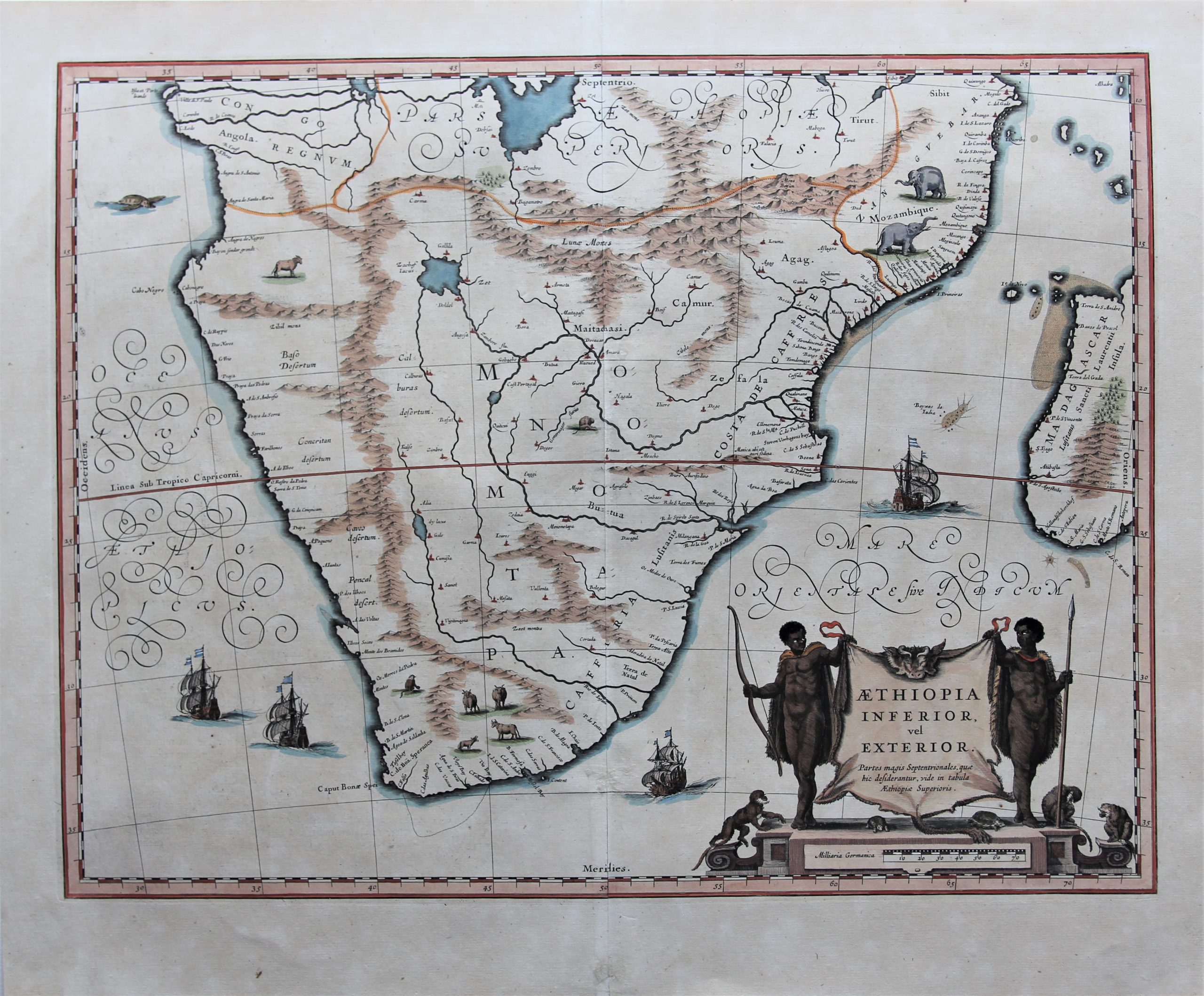
A very decorative, large map of South Africa, which became the standard delineation of the region throughout the 17th century. The lake from which the ‘Zambere’ (the Zambesi) originates is probably delineated based on reports of Lake Ngami, that remained undiscovered until 1849. At the time circa 20 miles long, it is today only marshland.
The interior is filled with indigenous animals and ships sail the sea. The large title cartouche is drawn on an ox hide held up by natives, with monkeys and turtles at their feet.
Spotting differences with the Janssonius map
This map was very popular and Blaeu published it from 1634 to 1670. This map was published in 1635.
In 1636 Johannes Janssonius published an almost identical map/copy.
There are two differences which easily differentiate both maps:
- On the Blaeu map: a vessel sails between Madagascar and the continent;
- On the Blaeu map: the letter ‘G’ of Madagascar is situated just below the 20th parallel; on the Janssonius map the parallel runs through letter ‘G’.


Specialists comment:
Norwich
“This handsome map of southern Africa features an appropriate decorative cartouche in the right lower corner with the title displayed on an ox skin held up by an African on either side. […]. The map covers an area from Congo-Zanzibar to the Cape. It was published before Van Riebeeck settled at the Cape, and such knowledge of South Africa as cartographers had was based on Portuguese exploration, travellers’ tales and rumours about the interior, which were used to fill in the blank spaces on the maps. This was a standard map throughout the seventeenth century and it went into many editions, and was copied by other publishers.”
Moreland & Bannister
“Considered to be the finest map of Southern Africa of its time; much copied by other publishers until the end of the seventeenth century. Continued use of Portuguese names on the coastline betrays the map’s origins from the old nautical charts used by the early explorers”
Tooley & Bricker
“Jan Blaeu’s 1642 map of ‘Lower, or outer, Ethiopia’ partnered a map of ‘Upper Ethiopia’. For ‘Ethiopia’ read southern Africa – about two-thirds the size of the United States, although judicious arrangement of place names, mountain ranges, and animal drawings makes distances seem much smaller. The lake out of which the ‘Zambere’ – the Zambesi – flows is probably based on reports of Lake Ngami, undiscovered until 1849. Then 20 miles long, it is today only marshland.”