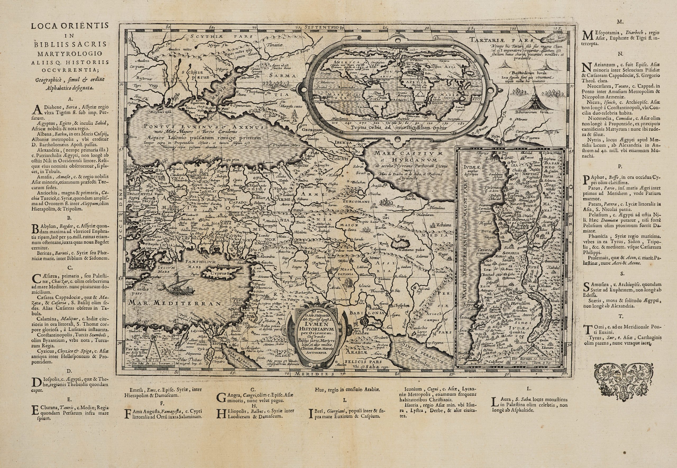
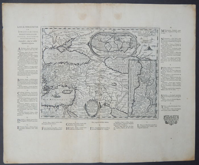
Middle East, Holy Land with Inset World
Uncommon (published only in one Parergon’s edition) map from the first historical atlas
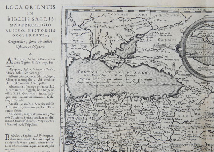
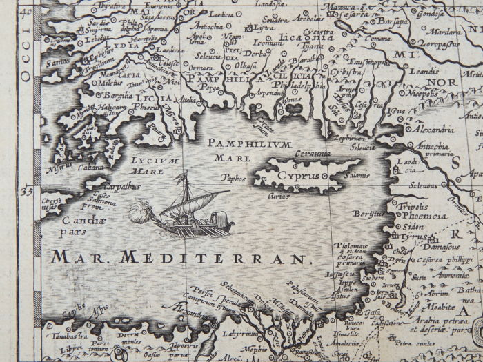
Detail
Date of first edition: 1624
Date of this map: 1624
Dimensions (not including margins) with the text around: 30 x 49 cm (on sheet: 46,5 x 57 cm).
Condition: good. Copper engraving on strong paper. Centre fold as published. Two vertical age-toned strips. Wide margins.
Condition rating: A-B
Map reference: Van den Broecke 556
From: Parergon 1624
In stock
Rare old map of the Middle East/Holy Land
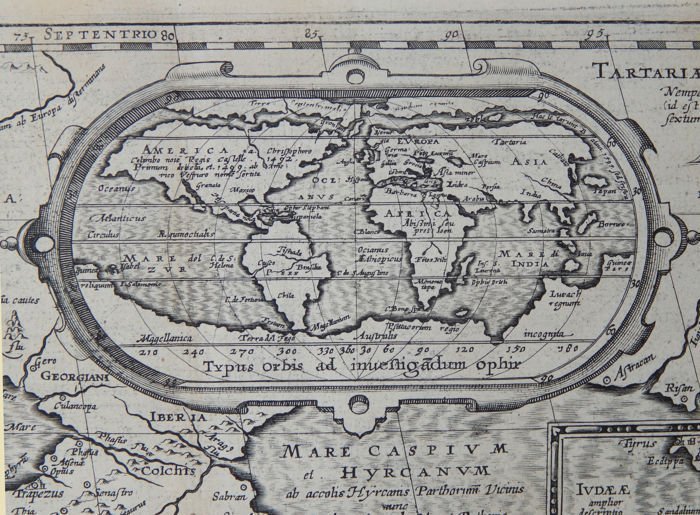
Beautifully engraved map of the region from the eastern Mediterranean to the Persian Gulf from Ortelius’s Theatri Orbis Terrarvm Parergon published in Antwerp in 1624. Inset a nice and interesting modern world (Typus Orbis ad Investigandum Ophir.) based on Ortelius himself.
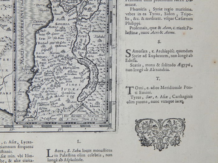
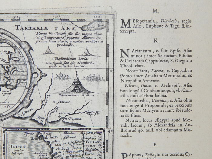
The map extends through Turkey, Cyprus and the Caucasus to include the region north of the Black Sea. Details include the pyramids in Egypt, the route of Abraham from Ur to Sichem, and the wandering of the Children of Israel. A large inset map of the Holy Land is shown at the right.
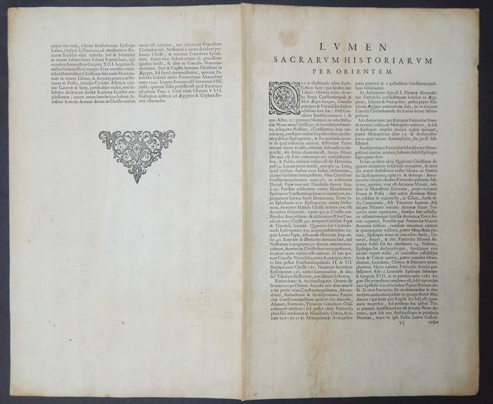
The map is surrounded with letter press explanatory text with place names, occurring in the bible and other holy writings.
Ortelius’s Parergon began as a companion to his Theatrum but eventually it became an independent work. In fact, this collection of maps of the ancient world was so significant that it became the model for all historical atlases published throughout the seventeenth century. “The maps and plates in the Parergon have to be evaluated as the most outstanding engravings depicting the wide-spread interest in classical geography in the 16th century” (Koeman).
Unlike the Theatrum, which consisted of existing maps re-engraved by Ortelius, the maps in the Parergon were drawn by Ortelius himself. As a scholar of antiquity, a dealer in antiques, and a visitor to ancient sites, he was well prepared to execute the maps and all the maps from the Parergon reflect his passion for the ancient world.
Original title: Loca orientis in bibliis sacris
