Nieuwe atlas, van de beste geographische kaarten, vertoonende alle de Gewesten der Wereld …
Detail
Date: s.d., ca. 1700
Atlas in-folio (53 x 32,5 cm), [6] + 37 + [2] + [1 bl.] pp,
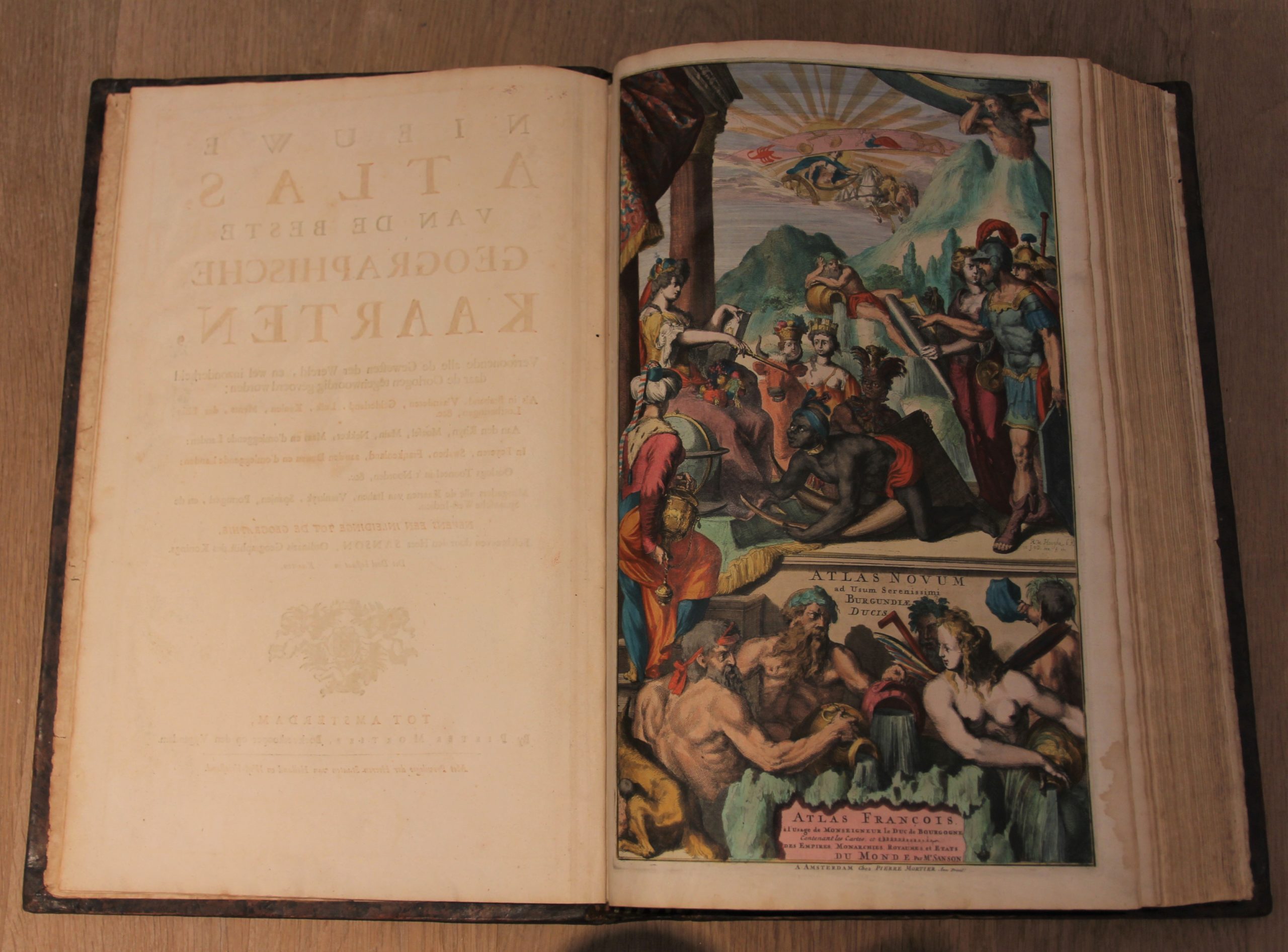
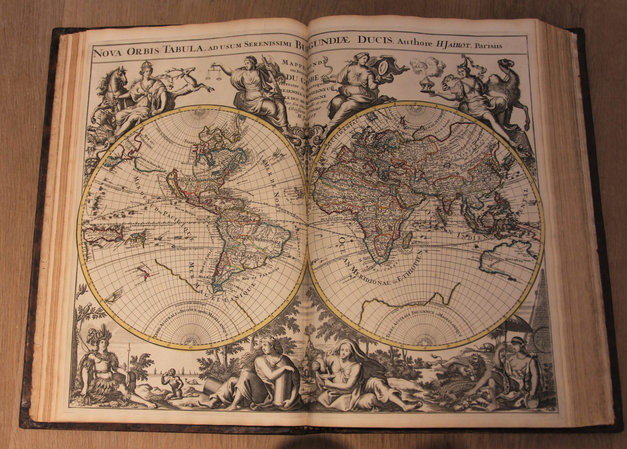
Allegorical title page by Romeyn de Hooghe (Atlas Novum ad usum Serenissimi Burgundiæ Ducis / Atlas François à l’usage de Monseigneur le Duc de Bourgogne), hand coloured. With 86 double page engraved maps, all but two with contemporary hand colouring.
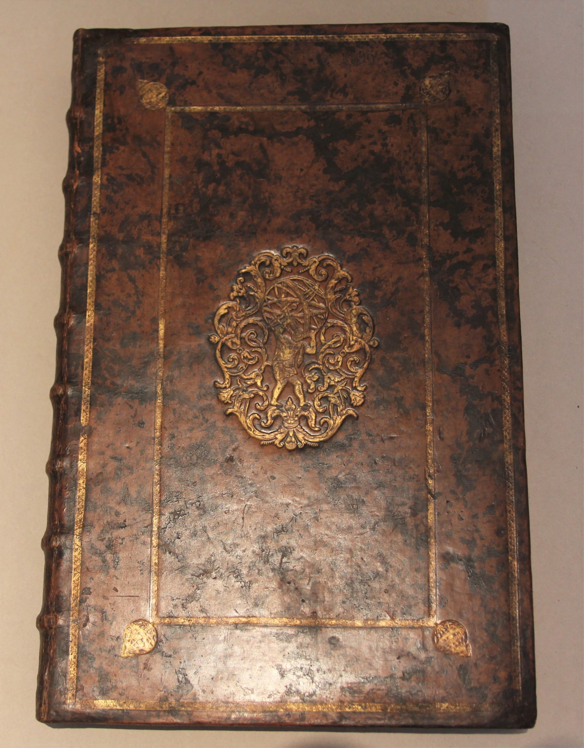
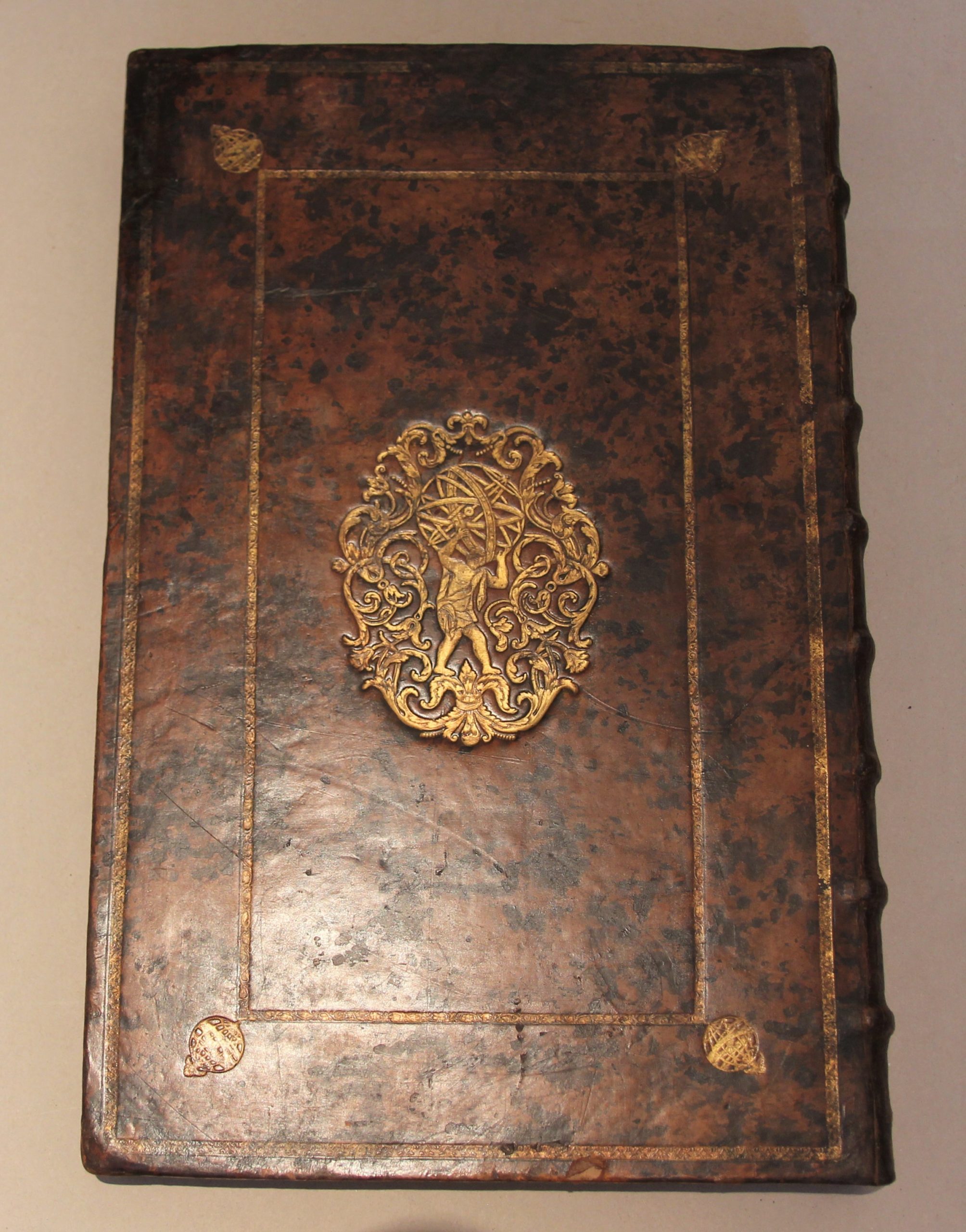
Contemporary Dutch marbled calf, raised bands and gilt spheres in each compartment of the spine, both covers with gilt supra libros with Atlas figure (Amsterdam, Double Drawer Handle Bindery), gilt globes in the corners. Rubbed, corners and spine ends repaired
Complete, maps in excellent condition.
Reference: Koeman III, pp. 4-19 ; Storm van Leeuwen, Dutch Decorated Bookbinding in the 18th c. I, p. 230 / 278 & III, p. 662
In stock
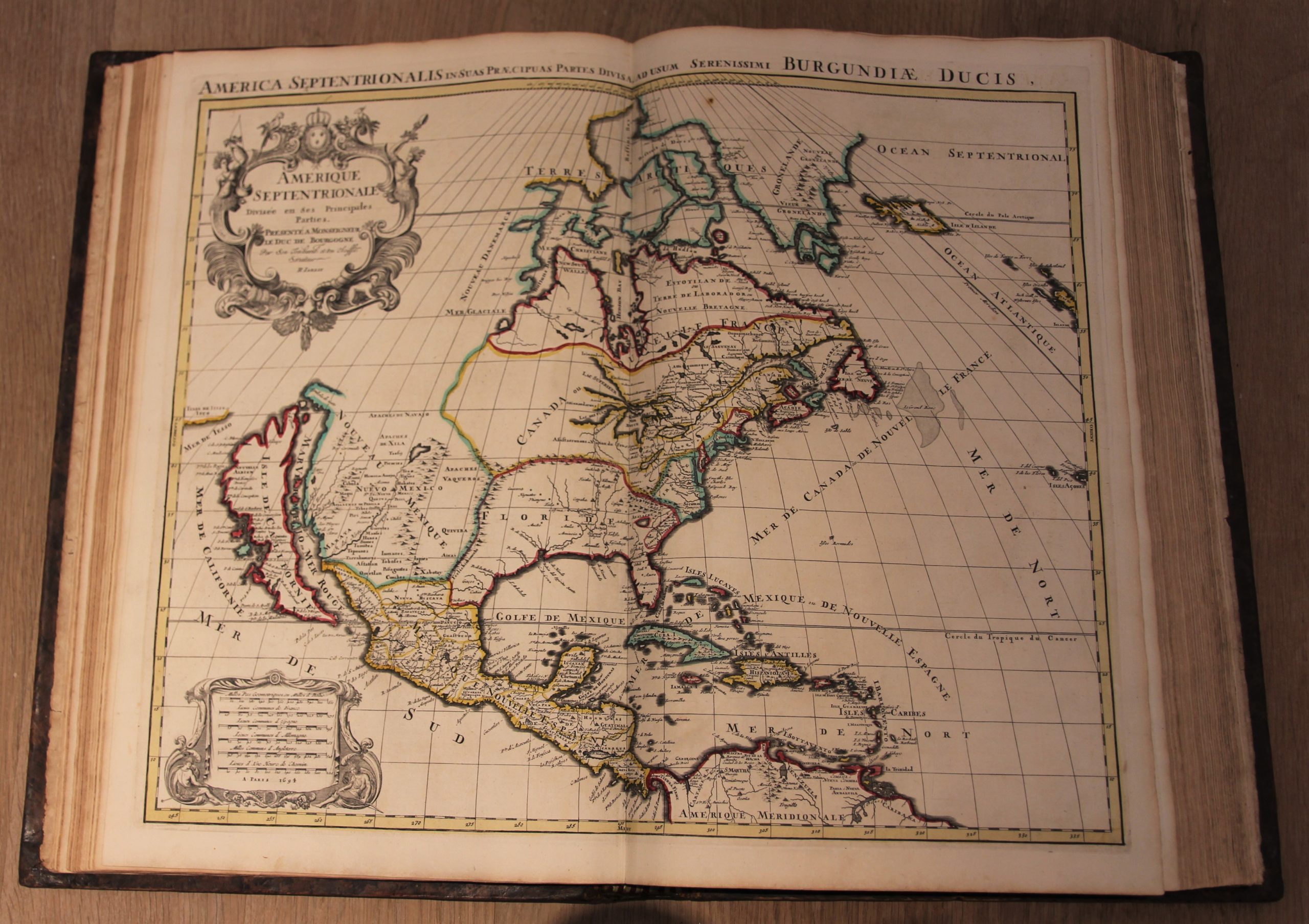
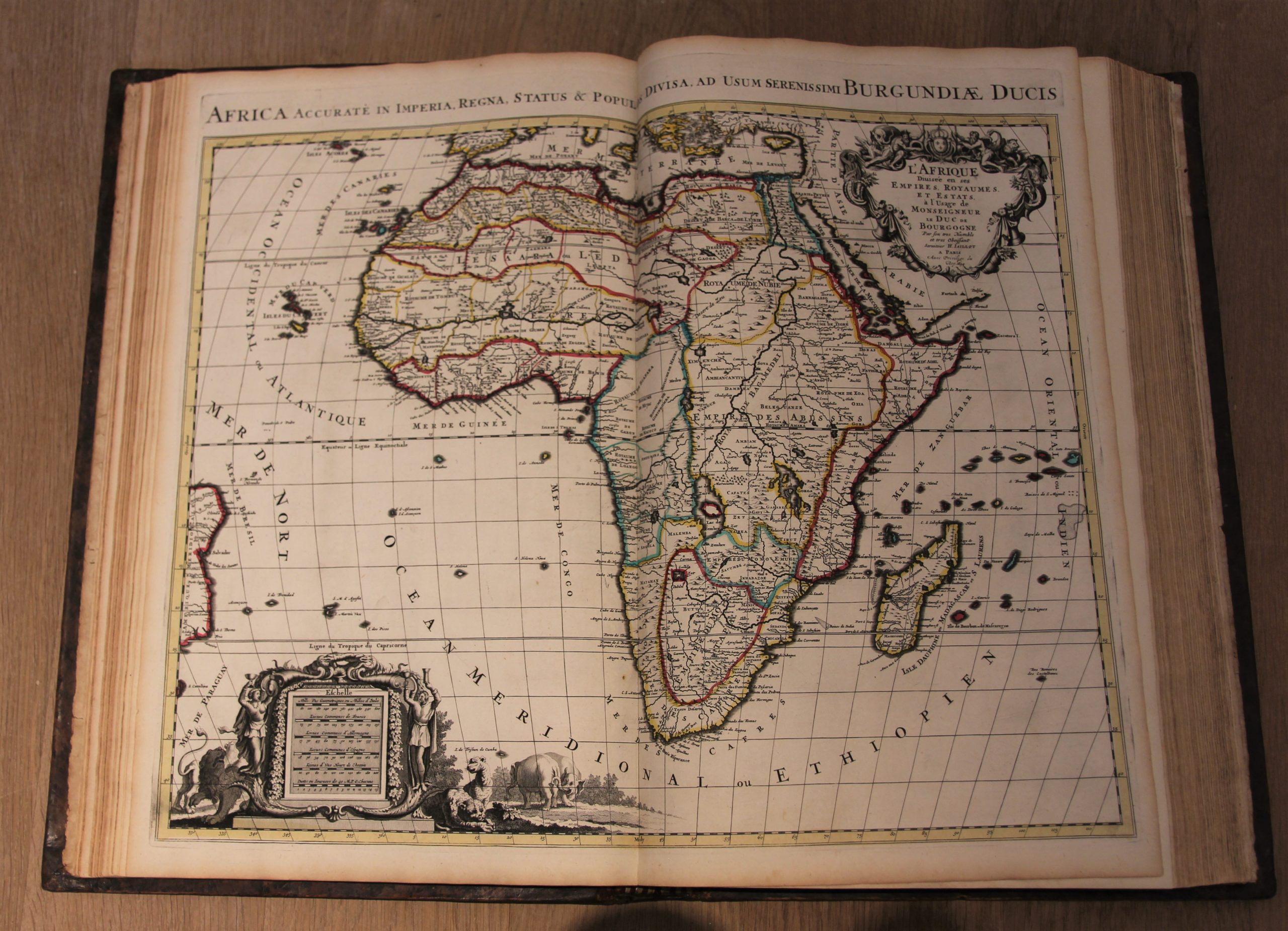
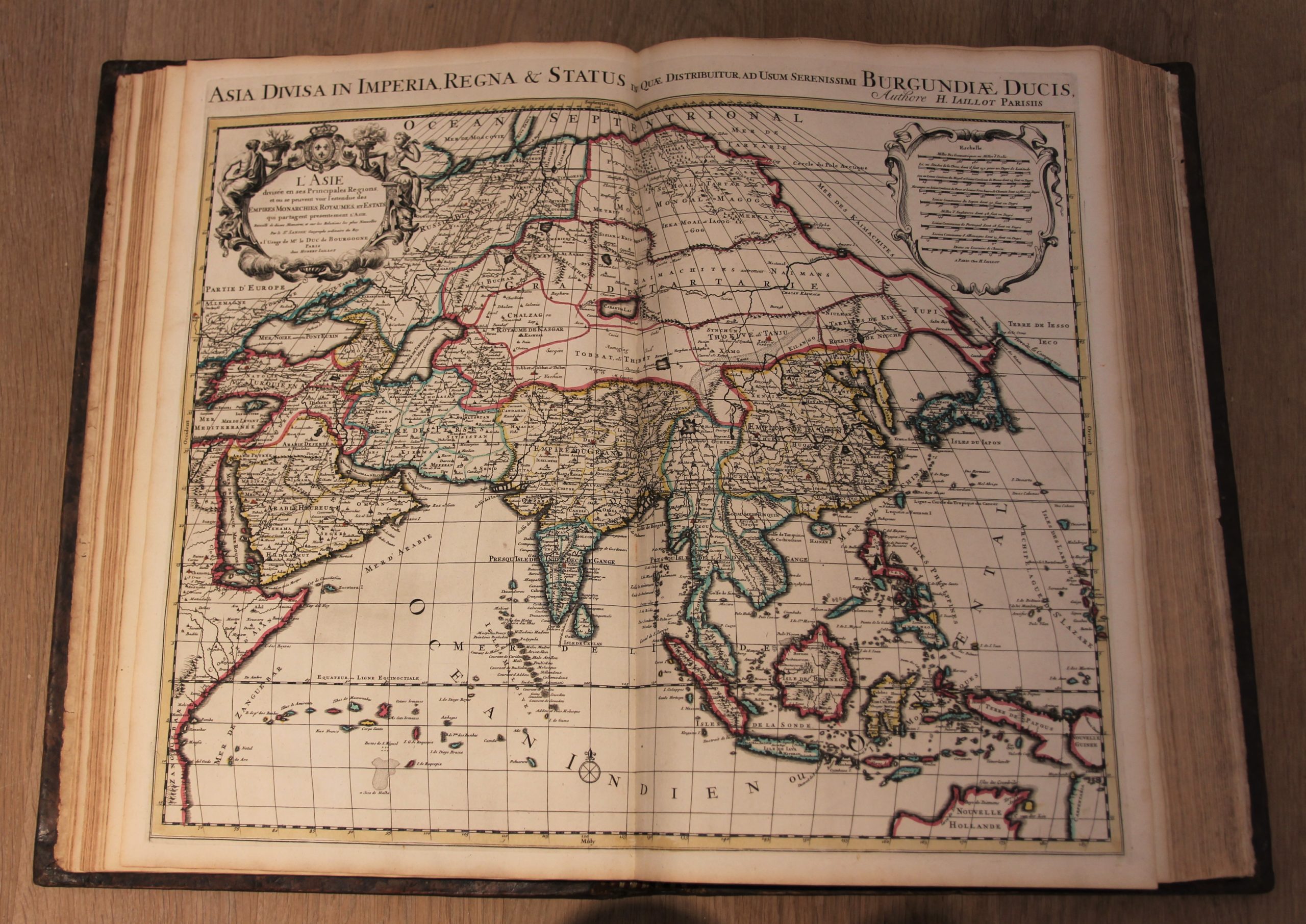
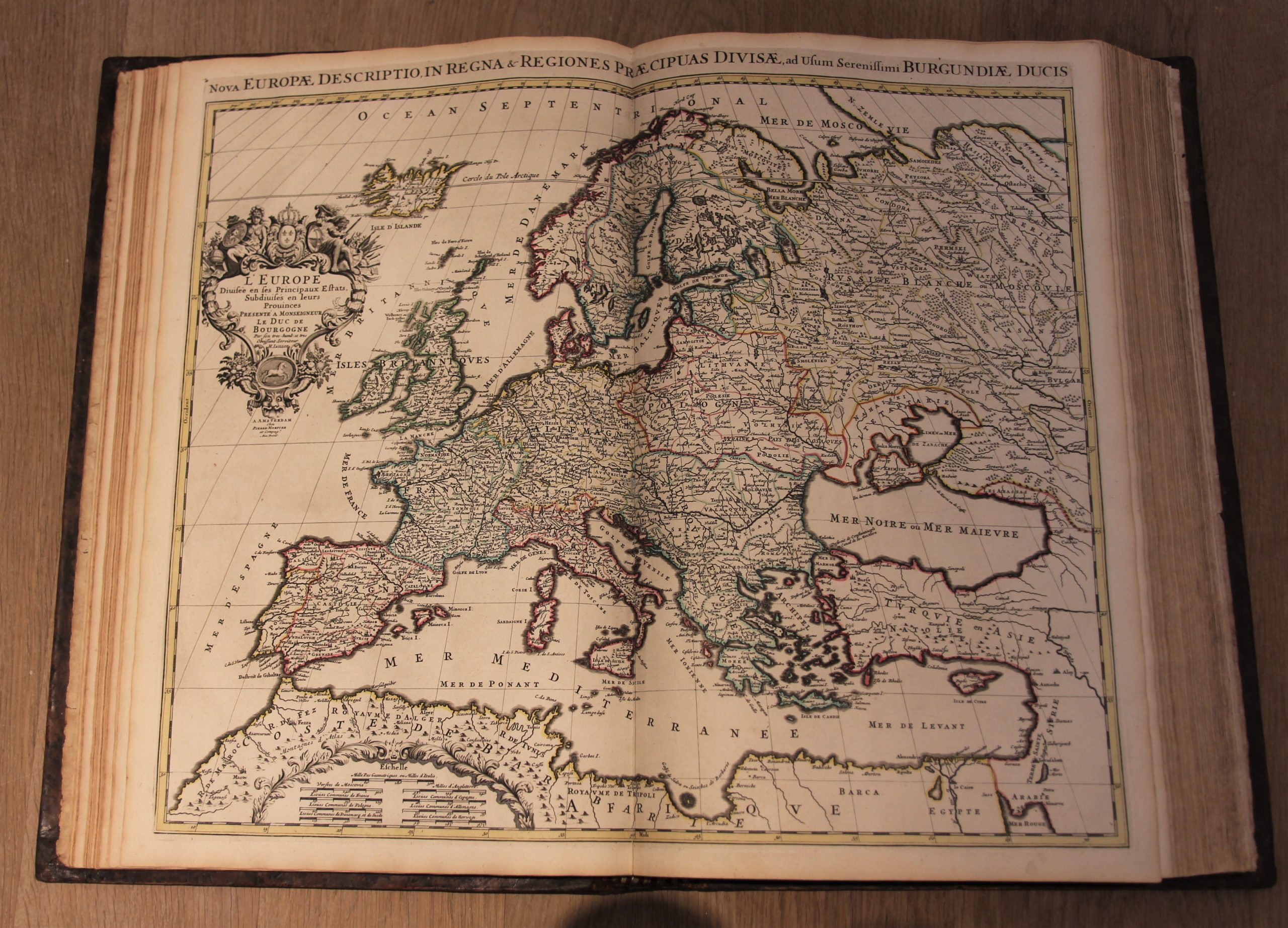
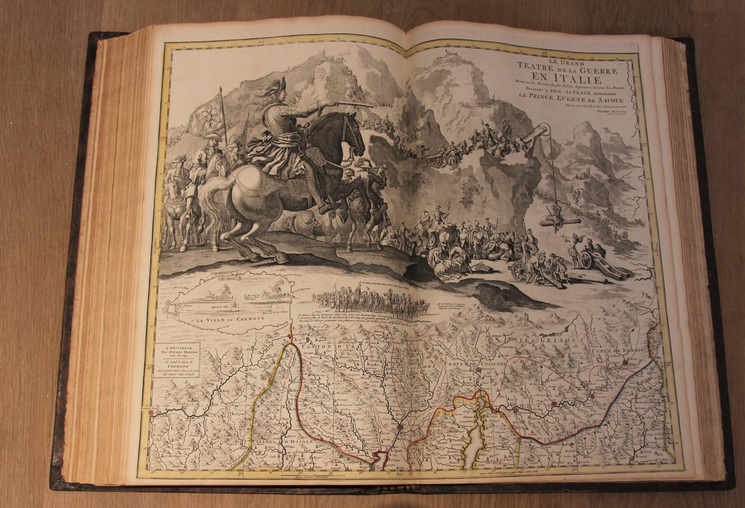
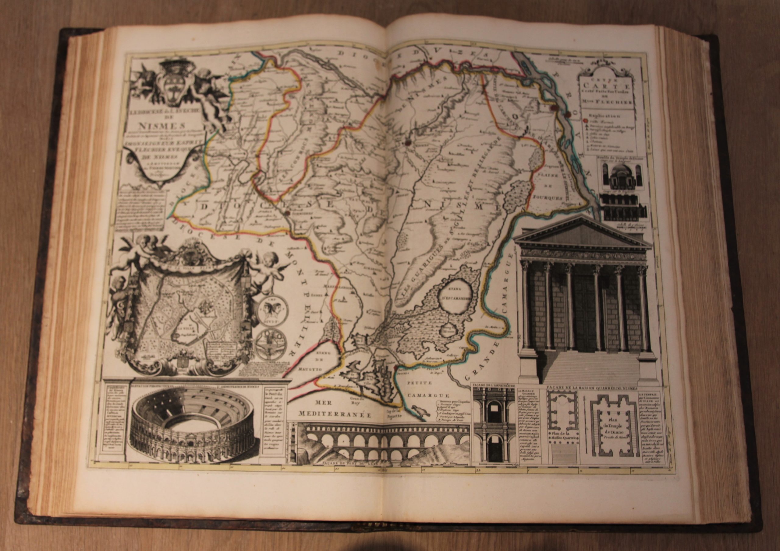
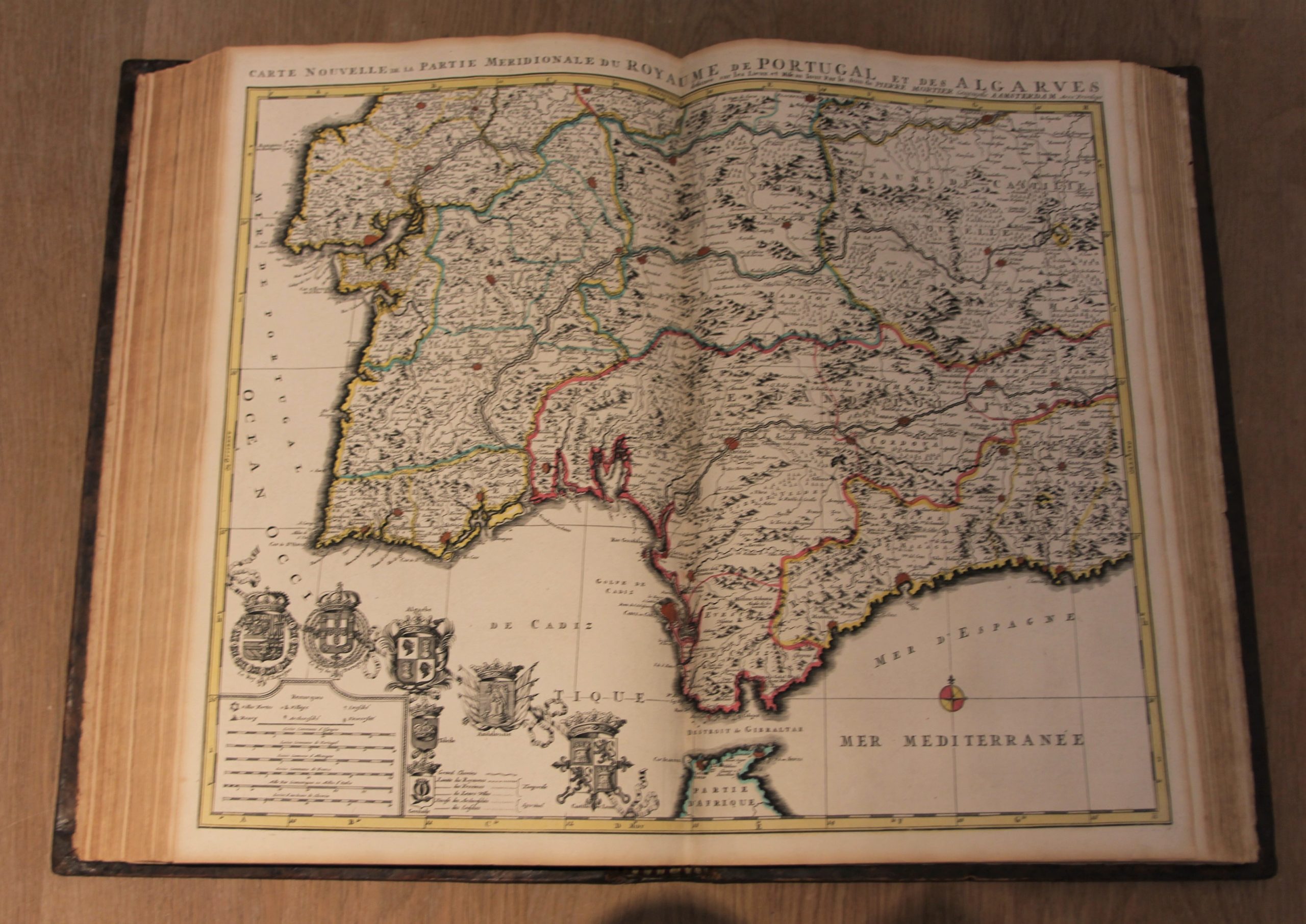
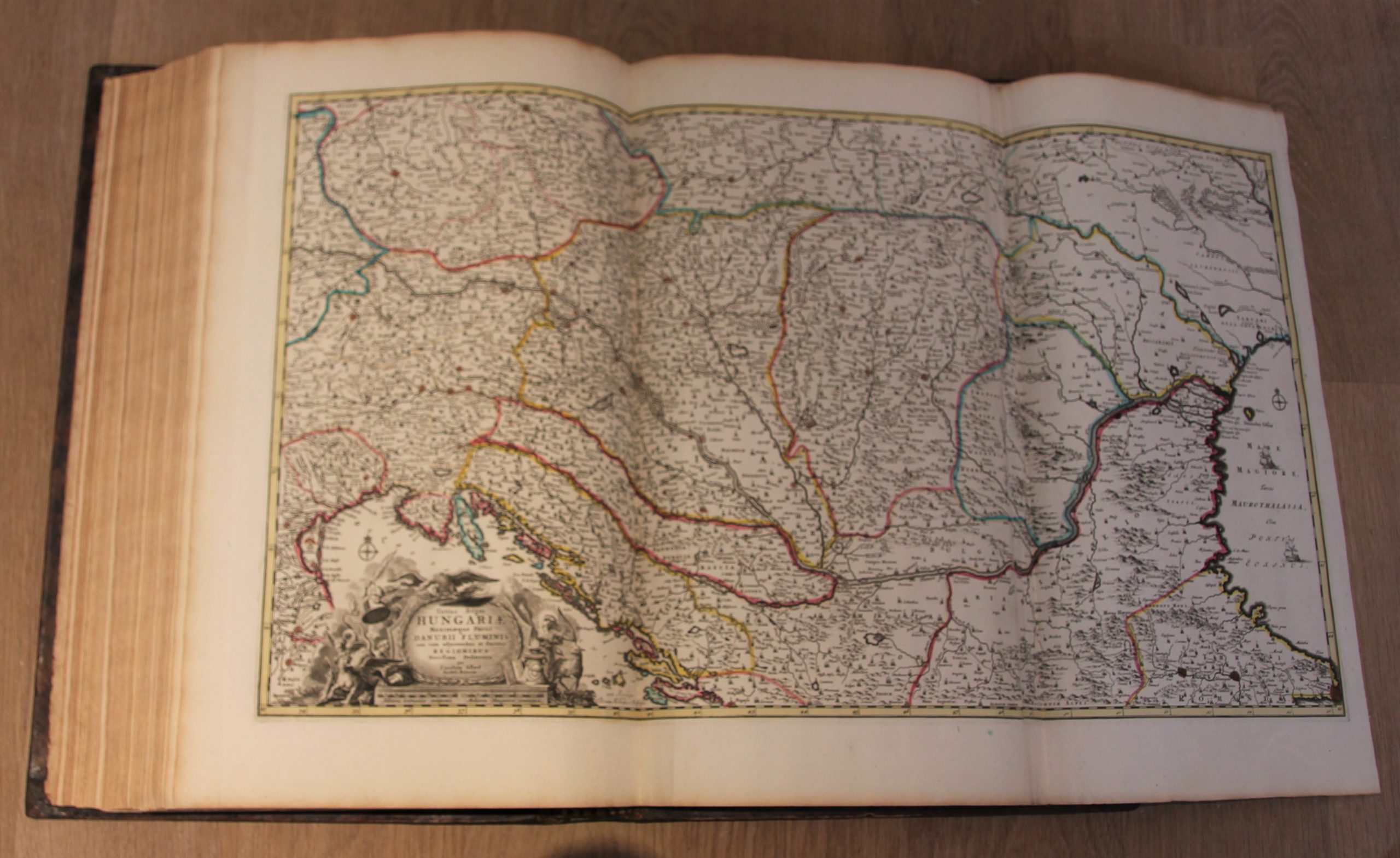
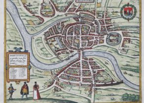
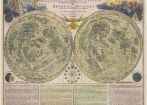
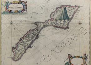
Contents
The magnificent title page was also used in Mortier’s “Le Neptune Francois”, showing Atlas holding the heavens aloft, a model of the Zodiac with chariot behind, and allegory of the continents, showing Europe and Asia as civilized and empowered images, with Africa and America subservient to the Queen monarch.
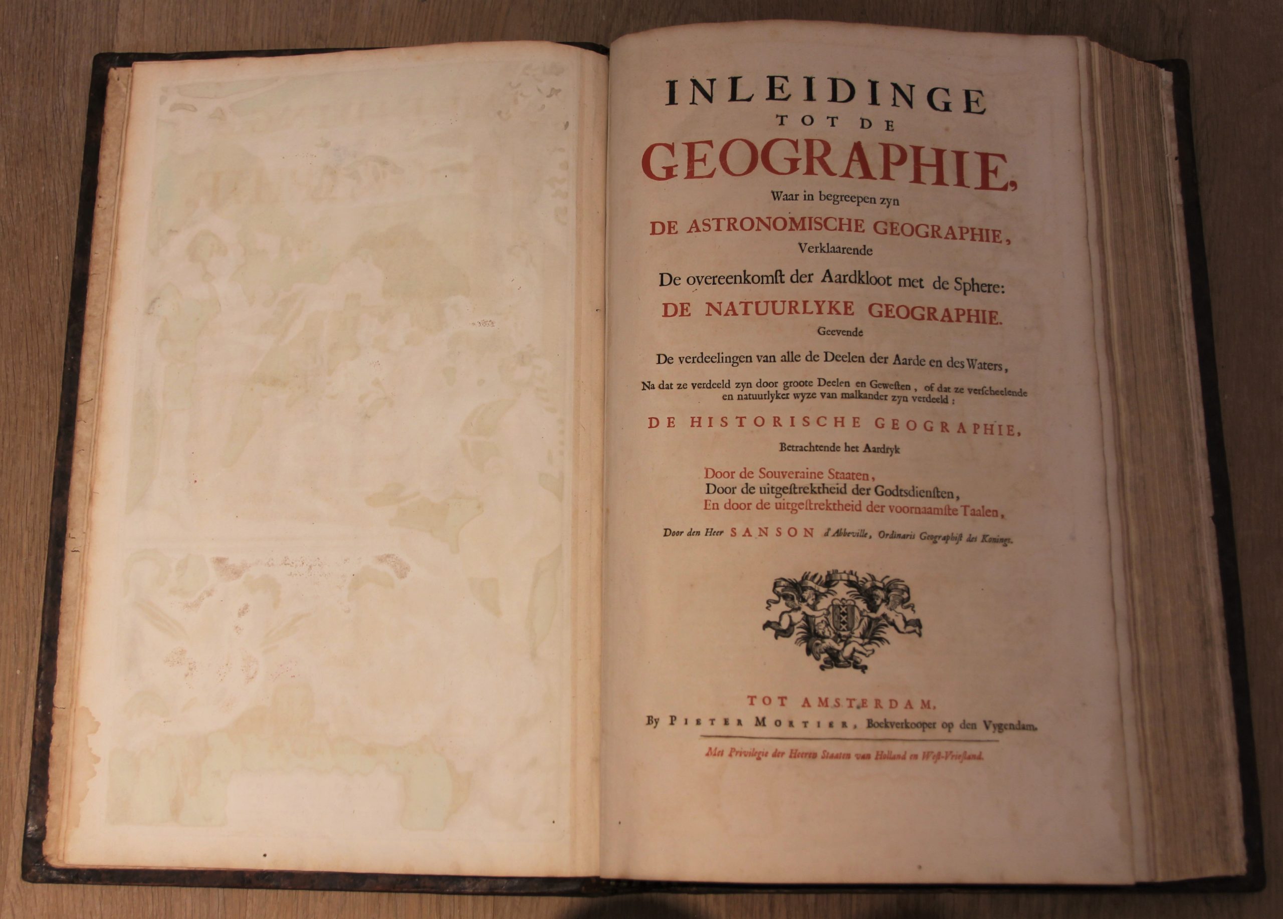
The 37-page introduction into Geography written by Nicolas Sanson.
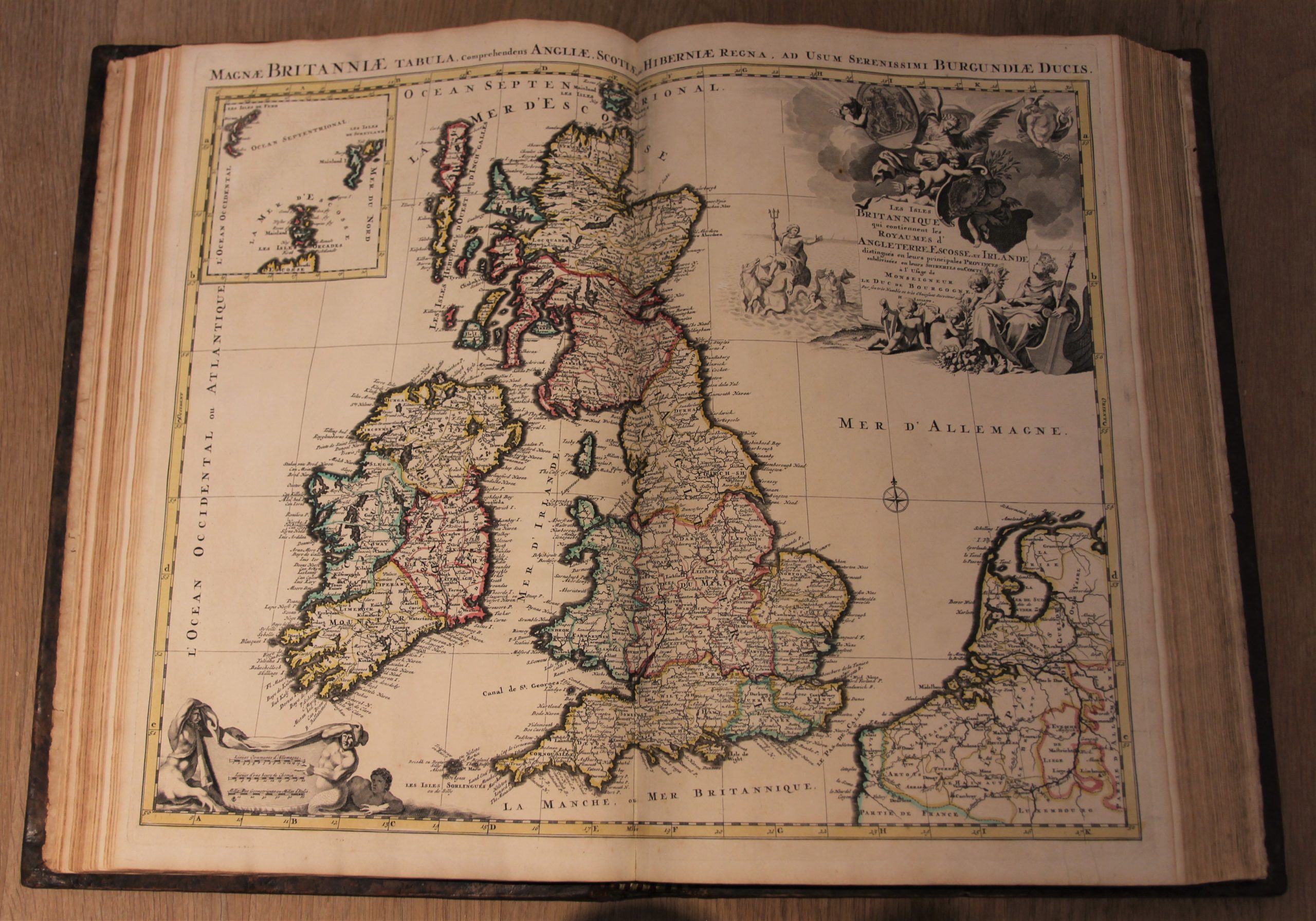
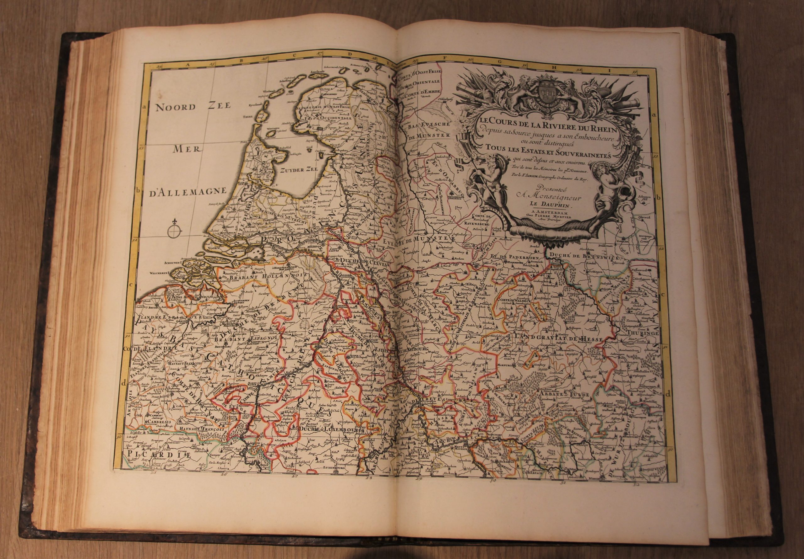
Contents conform to index, with one map of Turkey in Europe added. Maps with addresses of the following mapmakers: Allard, Blaeu, De L’Isle, De Wit, Jaillot Mortier, Sanson, Vaultier, Visscher. Beside the usual Sanson J Jaillot maps of the World and 5 Continents there are 14 maps which can be joined together to form 7 double folio size maps of Russia, champagne/ France, River Rhine, Liege/ France, Flanders/ Belgium, Venice/ North Italy and North America with the West Indies, and 16 maps which can be joined to form 4 very large (wall) maps of 4 folio sheets each of Brabant/ Belgium, Spain and Portugal, Hungary, and Northern Italy, all of them with very attractive large pictorial cartouches.
Full title: Nieuwe atlas, van de beste geographische kaarten, vertoonende alle de Gewesten der Wereld … nevens een Inleidinge tot de Geographie