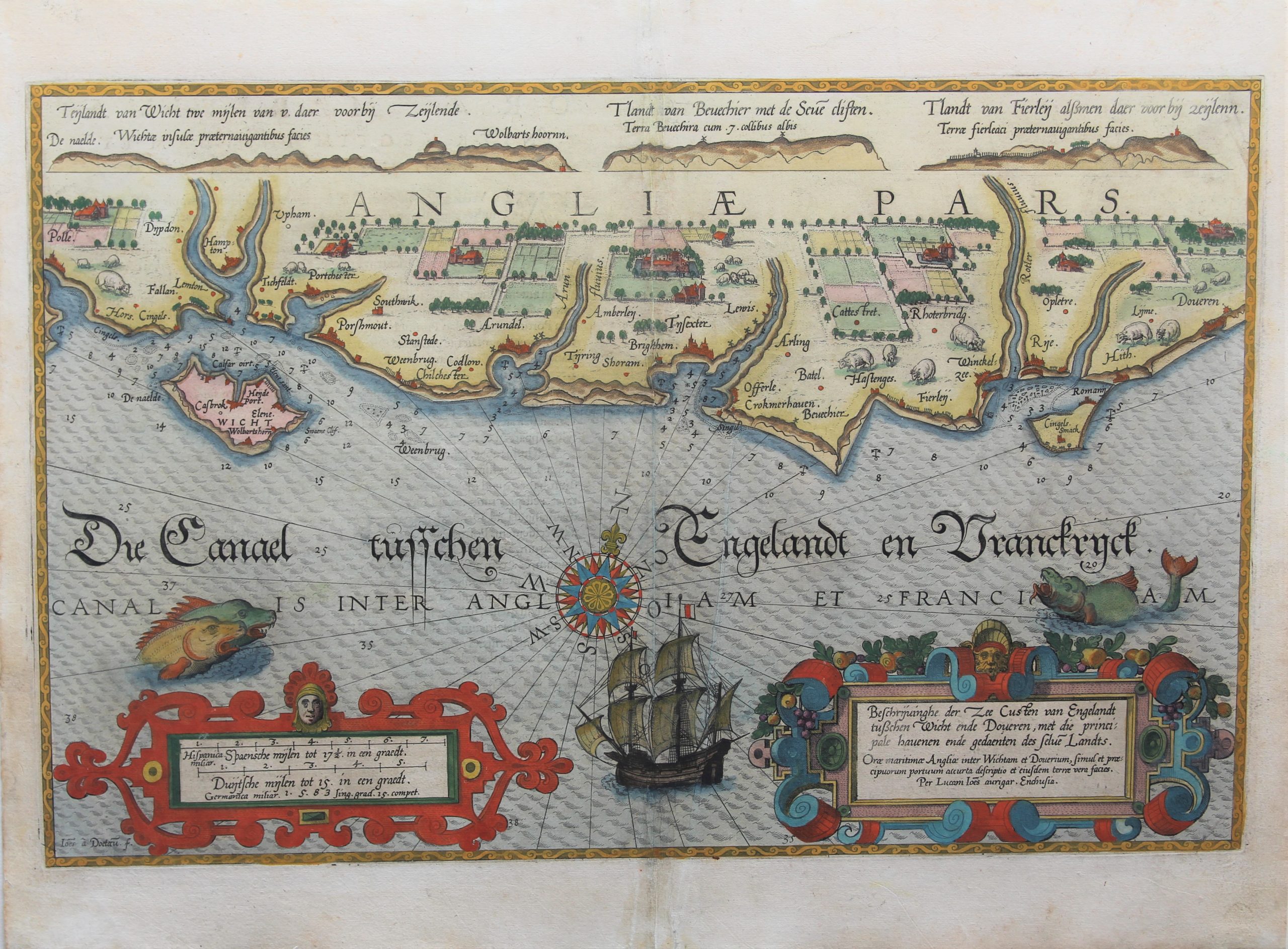
Southeast coast of England – Angliae Pars or Die Canael tusschen Englandt en Frankrijck
Rural England, full of history
Detail
Date of first edition: 1584
Date of this edition: 1586
Dimensions (not including margins): 33 x 51,5 cm
Dimensions (including margins): 41,2 x 54,2 cm
Condition: Very good. Sharp copper engraving printed on paper. Old colouring. Wide margins.
Condition rating: A+
From: Speculum nauticum…
This item is sold
Waghenaer
The illustration depicts L. J. Waghenaer’s marine atlas, “The Mariner’s mirror”, published from 1584.
Lucas Janszoon Waghenaer was born in Holland in the 1530s. He became a famous ship pilot of his time. In 1584 he published the atlas (“Spieghel der Zeevaerdt”), which was greatly valued among mariners for centuries. This was not only because of its map content, but also because of a detailed knowledge of navigation techniques of that time. When it was translated from Dutch to English, the atlas appeared with a title page we are using on our home page.


On this Map
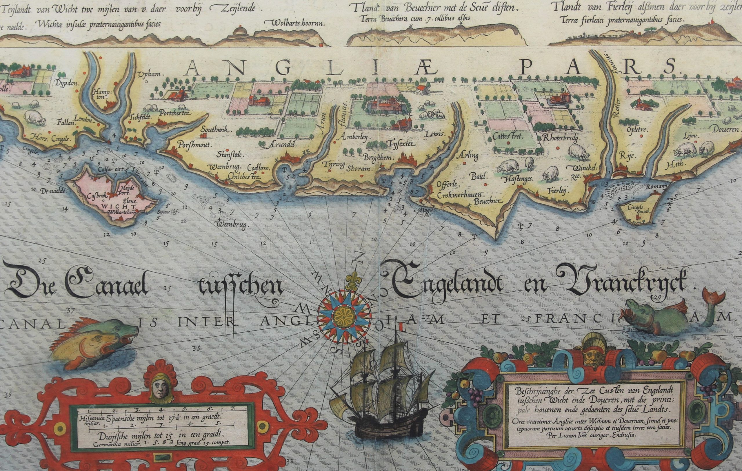
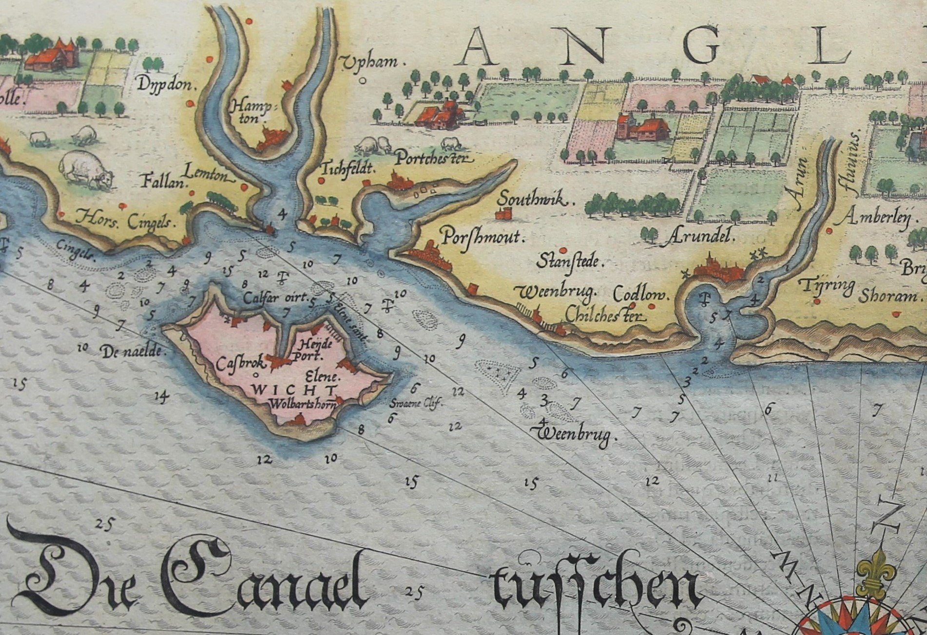
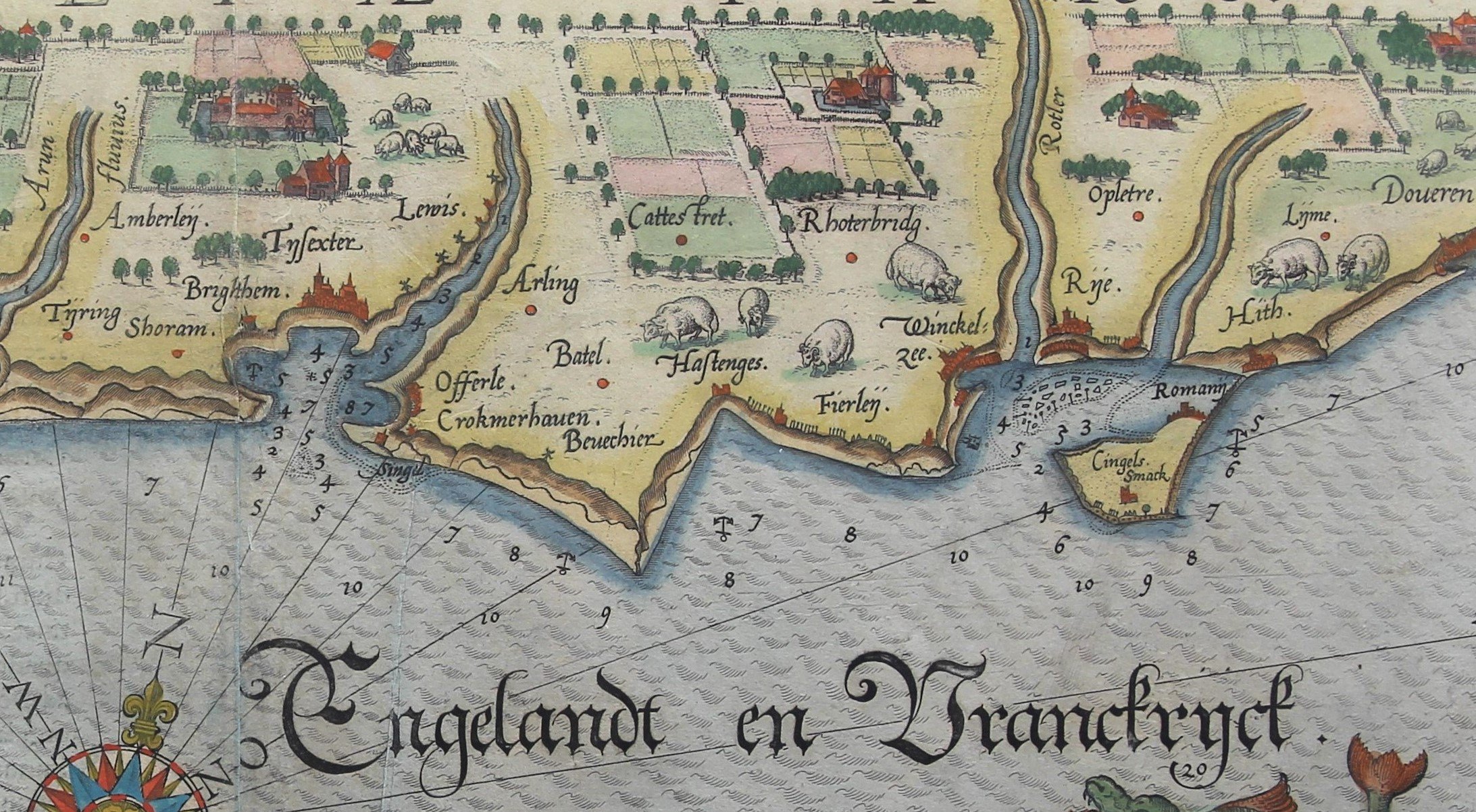
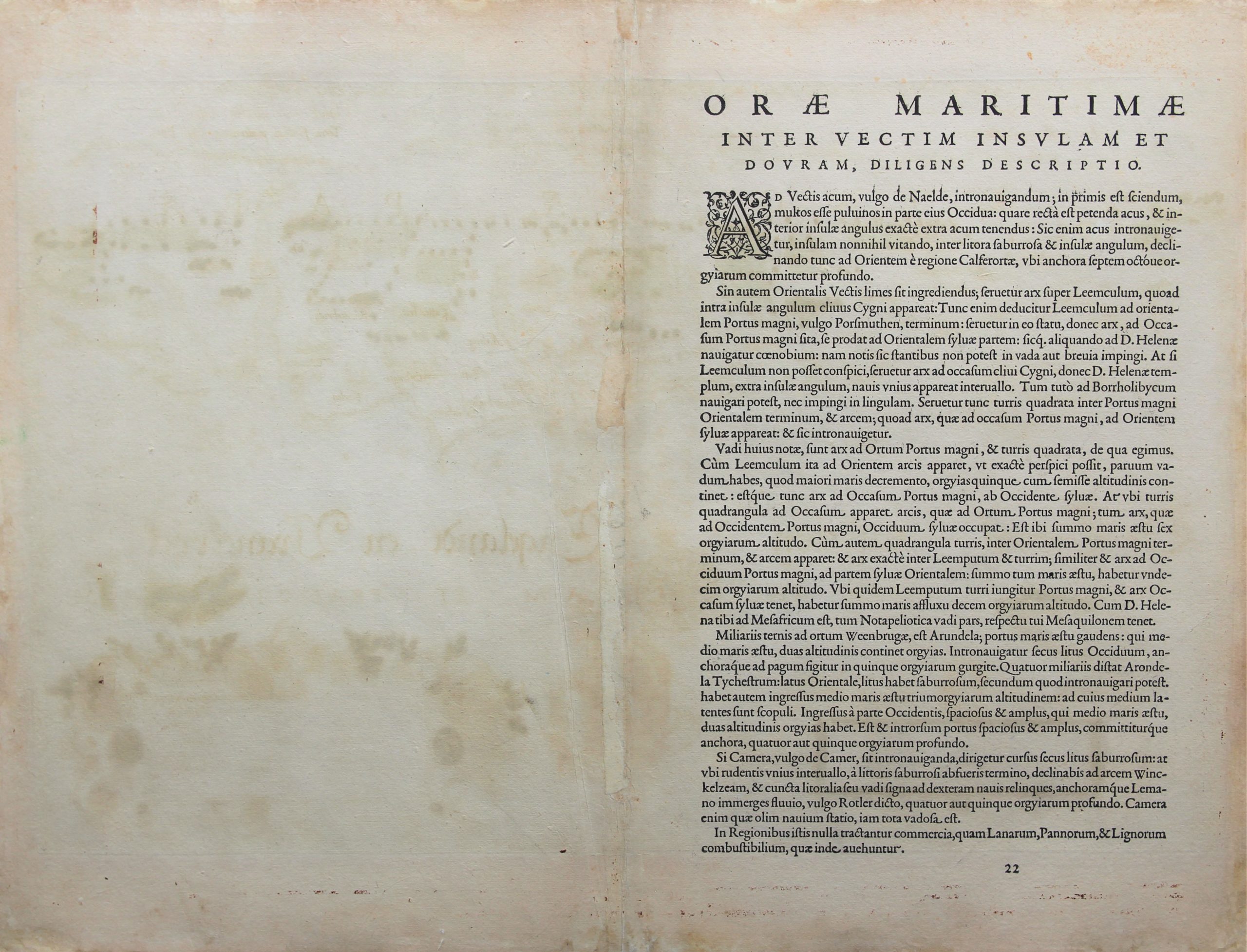
This chart shows “Die Canael tusschen Engelandt en Franckrijck”, more in particular the coast between the Isle of Wight and Dover. Waghenaer produced the first modern maritime atlas in 1584-1585, limited however to the Atlantic coastal regions. The past is never far away: at the top of this map Waghenaer illustrates the perspective of the coast line (view of the hilly coast in brown with over accentuated river mouths). Ships always sailed close to the seashore, in case… Early maritime maps were indeed limited to the similar representations of the waterfront. This will soon change; later charts will only show compasses, linking between each other the (cardinal) directions.
From left to right one notices:
– Portsmout: since a few decades the main naval base of England when Henry VIII had installed a permanently readily war fleet. Its great maritime museum shows inter alia, Henry VIII’s Mary Rose and Nelson’s Victory.- Arundel at the river Arun: then a stronghold of the Catholics in England; ending for the local count in a disastrous conflict with queen Elisabeth I in 1589.
– Brightem: its first pier was built in 1821, when tourism from London started to boom.
– Batel and Hastenges, where William the Conqueror, duke of Normandy, came ashore and defeated the Ango-Saxon king Harold on October 14, 1066; the only ever successful invasion of the country!
– Doveren: where sheep peacefully graze. Wagenaer’s charts still provide landmarks; this changes a few decades later.
D-Day (minus 1)
Allied plans to land in Normandy were originally scheduled for 1 May 1944. However, due to organizational problems, but also weather conditions, the date was pushed forward. Tides were also important, as the operation was amphibious. Low tide could uncover mines and other obstacles. D-Day was finally fixed on 6 June 1944. On the night of Monday, 5 June 1944, bombers started to unleash a massive assault on the German coastal defenses. All sorts of deception actions were set up: dummies were dropped, jamming operations started. At the same time, an Allied armada quietly headed for the Normandy beaches…
The establishment of a secure foothold is known as Operation Neptune. The invasion fleet literally came from everywhere on the British coastlines. Ships sailed from various places in England and Wales to disembark likewise from West to East on the Normandy beaches:
As the western Task Force:
– to US Utah beach, the VII Corps under ** major general, J. Collins: from Dartmouth, Poole and the Isle of Wight;
– to US Omaha beach, the V Corps under ** major general, L. Gerow: from Wales (Swansea) and Portland;
As the eastern Task Force:
– to UK Gold beach, the XXX Corps under *** lieutenant-general, G. Bucknall: from Southampton and the New Forest coastline;
– to Canadian Juno beach the I Corps under *** lieutenant-general, J. Crocker: from Portsmouth;
– to UK Sword beach, also the I Corps under *** lieutenant-general, J. Crocker: from Shoreham and Hove;
In the meantime, the 82nd and the 101st airborne divisions, based at RAF Folkingham and RAF North Witham, both in Lincolnshire, far away in mainland England, boarded their planes.
Hours to go before the invasion: myriads of vessels and landing craft gathered at a location in the Channel between England and France, at a place code-named “Piccadilly Circus”. Approximately 160.000 assault troops were getting ready… today 75 years ago! Tomorrow: chaos, pain, sorrow and victory.
Preparation for D-Day (click on the picture):