Europe – Europa
by
Willem and Joan Blaeu
Sheer beauty
Detail
Date of first edition: 1630 (in Atlantis Appendix)
Date of this edition: 1635
Dimensions (not including margins): 41,5 x 55,5 cm
Condition: excellent. Sharp copper engraving printed on paper. Superb original colouring. Wide margins. Still framed.
Condition rating: A+
Map reference: Van der Krogt 1, 000:2
From: Tonneel des Aerdrycks, Willem and Joan Blaeu 1635. Van der Krogt 2:121
Price (without VAT, possibly to be added): €4 500,00 (FYI +/- $4 995,00 / £4 005,00)
Unless otherwise specifically stated on this map page, we charge the following expedition costs in euro (unfortunatelly, gone up with Covid, but still too low in reality!):
– Benelux: 40 euro
– Rest of Europe: 60 euro
– Rest of the World: 100 euro
In stock
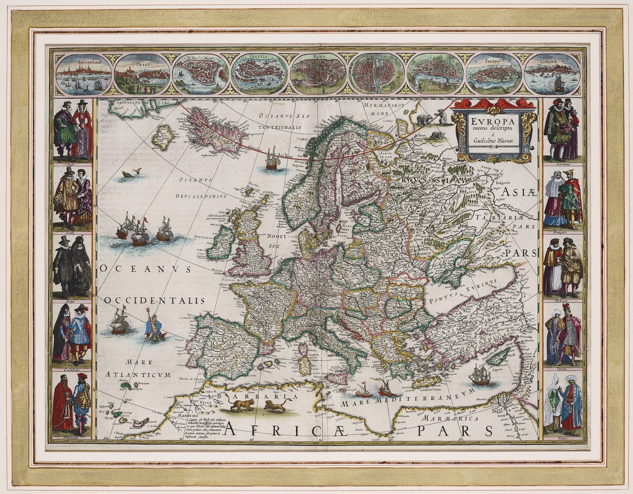
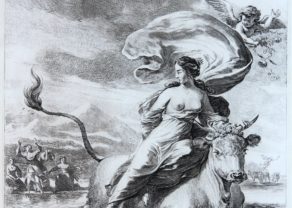
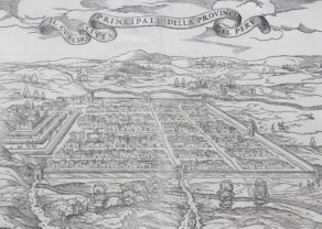
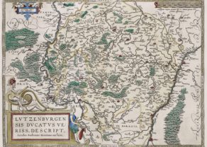
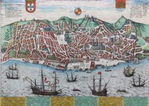
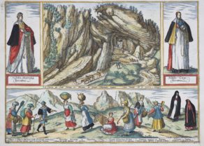
Blaeu’s Europe or the most beautiful one of the Continent
… a typical “carte-à-figures”. This type of map was introduced by the cartographers Blaeu and Hondius, early 17th century, and it immediately became very popular. It was a new fashion item for the local bourgeoisie: maps had to become as beautiful as possible; hence all the side illustrations. In the horizontal bands city view were added; in the vertical lines regional people in local dress. Ortelius had already prudently experimented with this issue. Willem Blaeu’s (see two engravings) map of Europe was first published in 1617 and was incorporated in all his major atlases. This map became very popular and also appeared in the Atlas Maior, the most famous world atlas, published by his son Joan much later in… 1662.
The upper frieze illustrates the then relative importance of some displayed cities (of course as selected by Willem): Amsterdam, Prague, Constantinople, Venice, Rome, Paris, London, Toledo and Lisbon. But we miss Vienna, Madrid, Brussels or Antwerp! The “figures” (in the vertical bands) show a local husband and wife (for Venice two men) of the regional people in exuberant costumes: Angli, Galli, Belgii, Castiliani, Hungarii, Behemi, Venetiani, Germani, Poloni and Graeci. Finally, notice the fictive island of Frislant (with the worldly settlement of “Monaco”; in yellow, between Iceland and Greenland), a Venetian made up story. Unfortunately, Gerard Mercator picked up this phantom in his famous world map of 1569; it will remain present on all maps for the next 100 years.