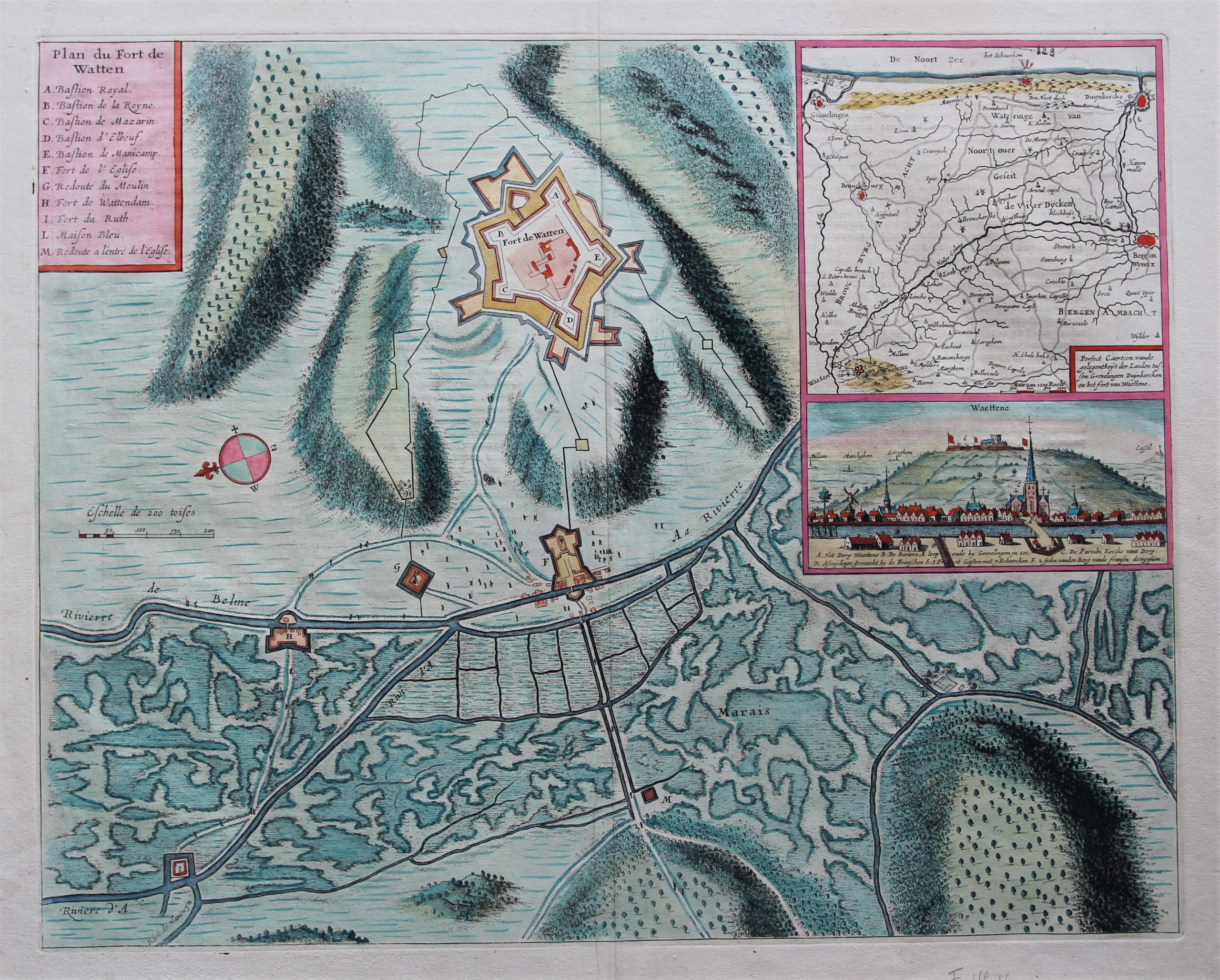
Watten – Plan du Fort de Watten
by
Joan Blaeu
Detail
Date of first edition: 1649
Date of this map: 1649
Dimensions (not including margins): 51 x 37 cm
Dimensions (with margins): 61,5 x 51 cm
Condition: Very good sharp copper engraving on strong paper and wide margins.
Condition rating: A
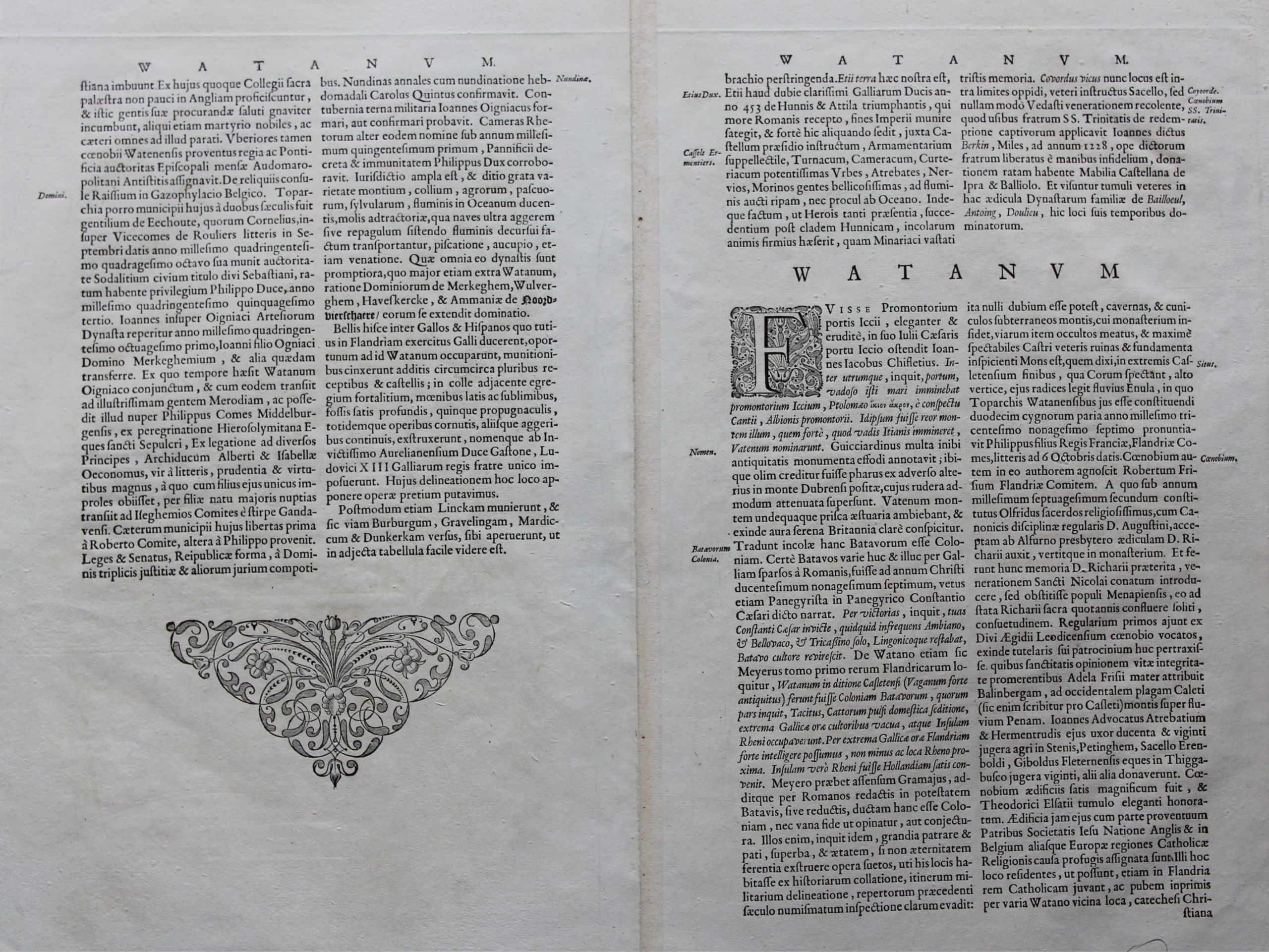
Verso: text in Latin
From: Novum ac magnum theatrum urbium Belgicae regiae et foederatae, uitgegeven door Joan Blaeu te Amsterdam, a.d. 1649
Price (without VAT, possibly to be added): €250,00 (FYI +/- $277,50 / £222,50)
Unless otherwise specifically stated on this map page, we charge the following expedition costs in euro (unfortunatelly, gone up with Covid, but still too low in reality!):
– Benelux: 40 euro
– Rest of Europe: 60 euro
– Rest of the World: 100 euro
In stock

History in a nutshell
Historically, Watten was part of the County of Flanders. In the mid seventeenth century it passed several times between the Spanish Netherlands and France. During this time the French built a citadel. Under the Treaties of Nijmegen it passed to France and has been part of France since then.
The map illustrates the fortifications on a hill as well as a frog’s eye view of the town. The village of Watten is situated at the River Belme. Further, an inset shows the strategic position of the fortress between Grevelingen and Dunkirk.
Today, the town has a population of less than 3.00 inhabitants.