Estonia with Tallin
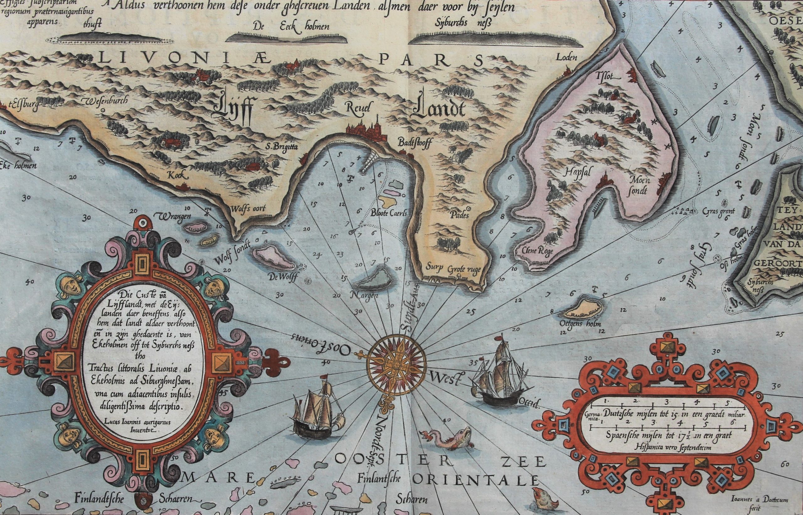
Detail
Date of first edition: 1585
Date of this map: 1590 or 1600 (French edition)
Dimensions of map (not including text and margins): 33 x 51 cm
Dimensions (including margins): 42 x 54,5 cm
Condition: Excellent. Sharp engraving on strong paper. Centre fold as published. Wide margins.
Condition rating: A+
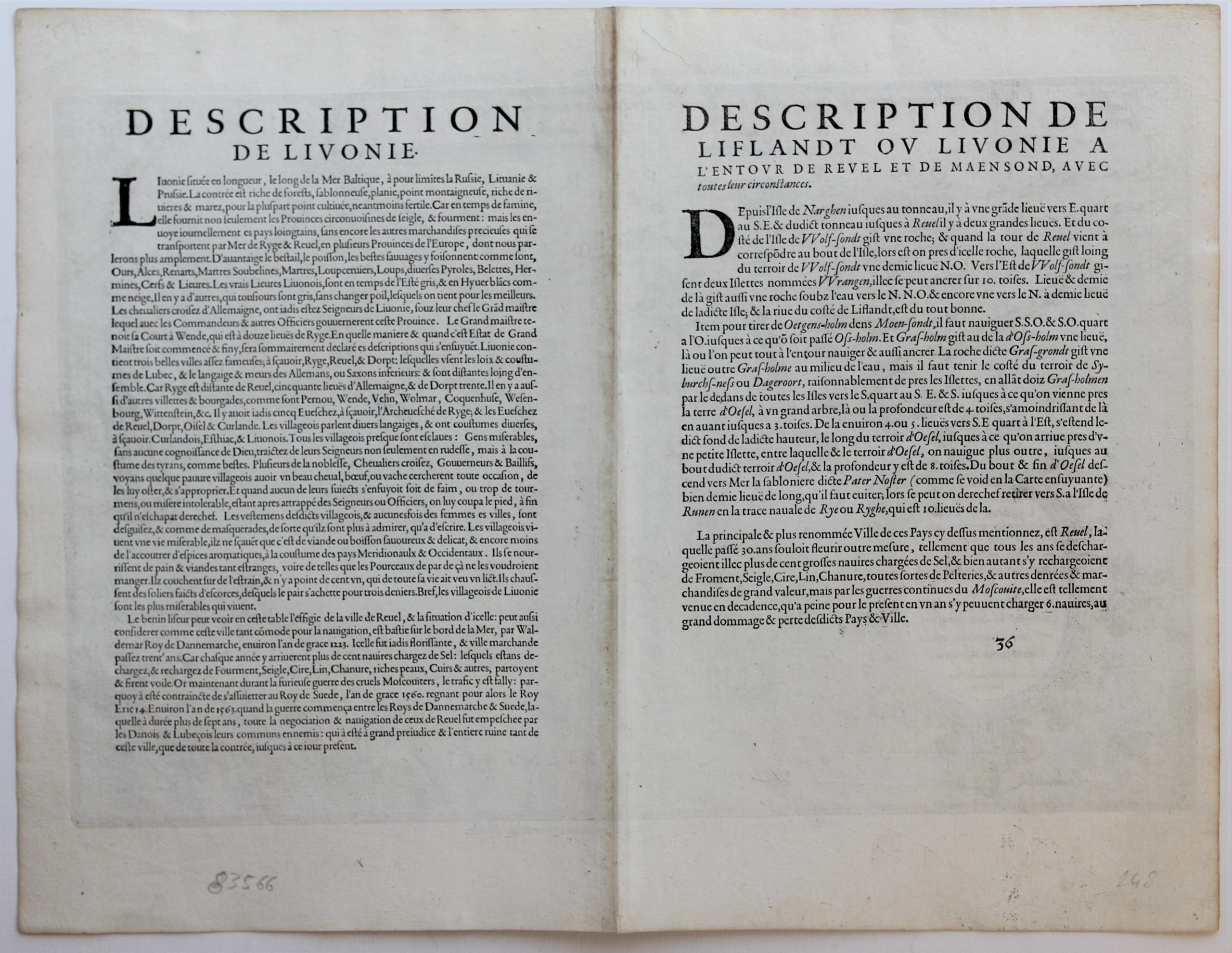
Verso: text in French
Map reference: Koeman, Waghenaer, Part II, 36b
From: Spiegel der Zeevaerdt, French edition: Nouveau Mirroir, 1590 or 1600, Koeman, 8A or 11A
In stock
Estonia
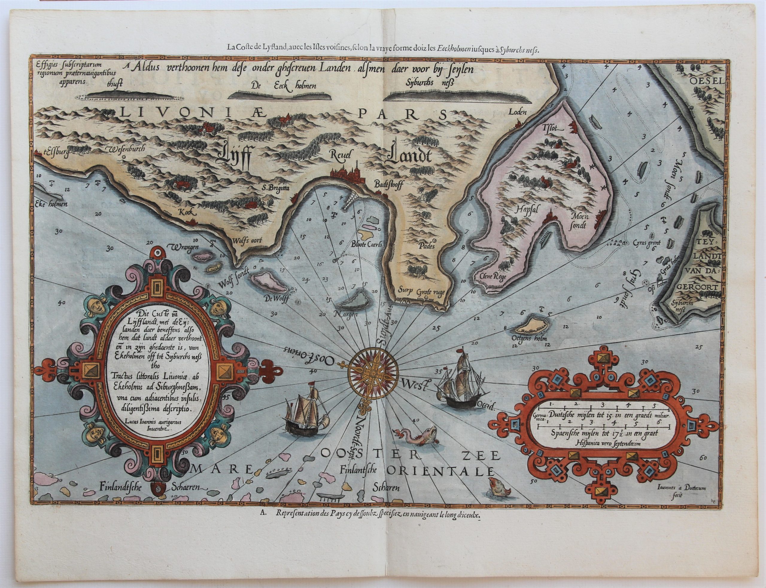
A striking full color example of Wagenhaer’s map of the north coast of Estonia, Tallinn (Revel), including the Gulf of Finland. The map is reversed – showing north at the bottom. This map was printed in a French edition with an additional title and subtitle in margins. French text to verso. This delightful chart includes 2 sea monsters, 2 sailing ships, a compass rose, and 2 decorative cartouches, soundings, and anchorages. Profiles of the coastline are shown. Includes sea monsters, sailing ships, compass rose, decorative cartouche, soundings and anchorages.
Title: „Die Custe va Lijfflandt, met de Eylanden daer beneffens, also hem dat landt aldaer verthoont en in zyn ghedaente is van Ekeholmen off tot Synburchs nessto”. (The coast line of Estonia with Tallin (Reval) in its center).
The French edition (Nouveau Mirroir) was a joint publication by Jean Bellière (letterpress) and Cornelis Claesz (copperplate printing).
Waghenaer
Wagenhaer was a Dutch pilot who produced the first set of effective navigational charts, under the title Spiegel der Zeevaerdt. These gorgeous charts, engraved by Baptist and Jan van Doetecum, embody the latest contemporary knowledge of navigation and position finding, and set the standard which was followed for more than a century. Waghenaer’s charts are magnificent works of art, which are highly sought after by collectors. An essential map for collectors of the region and the earliest decorative sea chart of the region.


