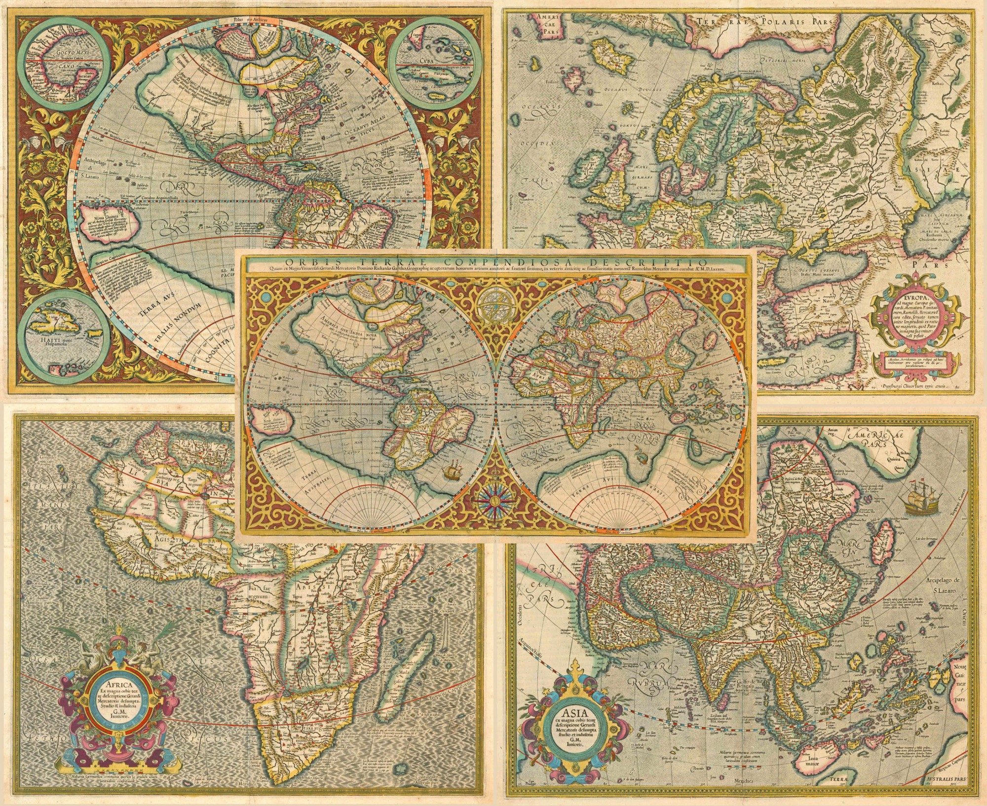
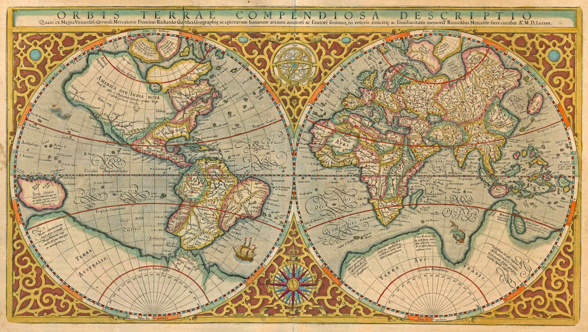
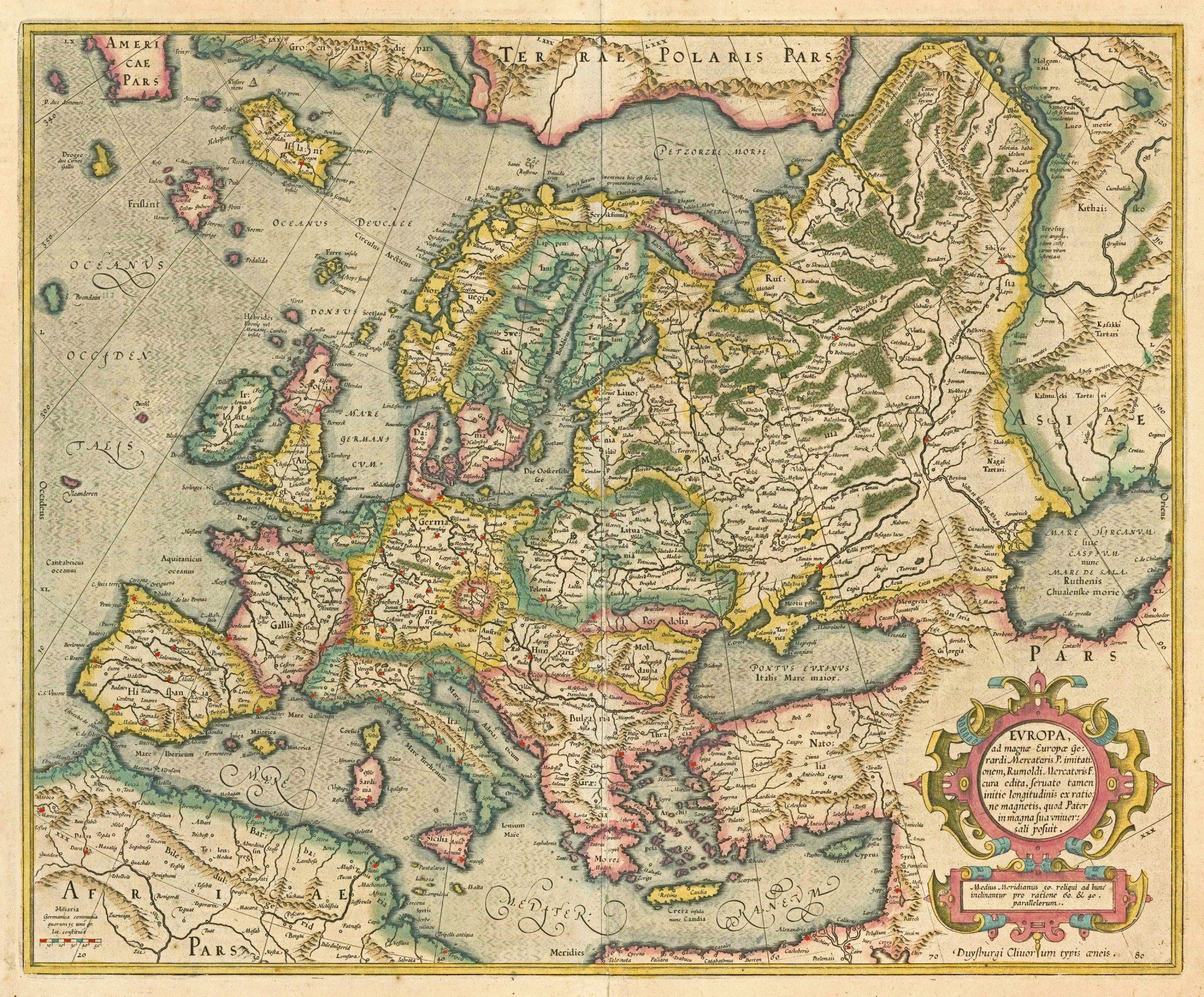
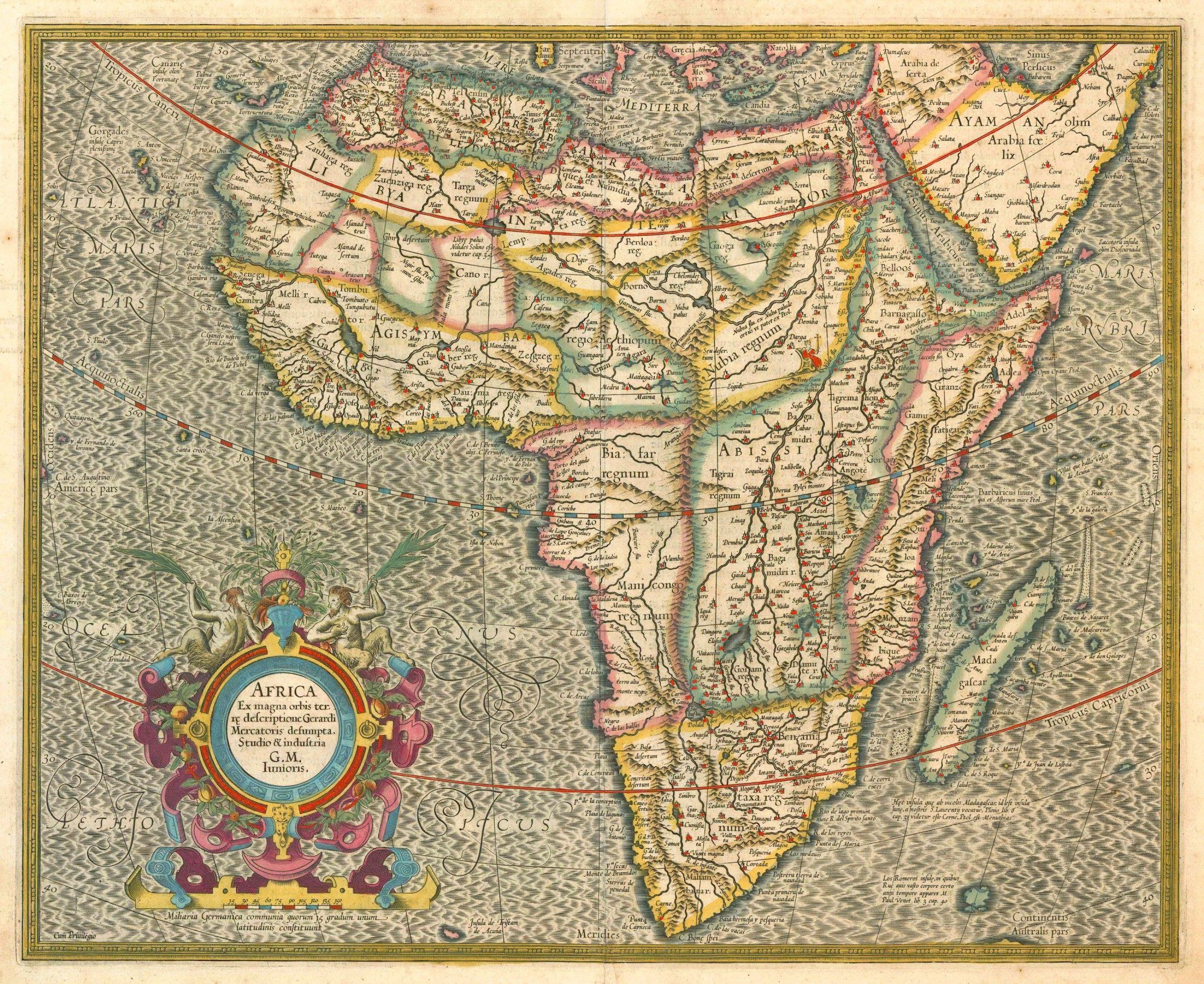
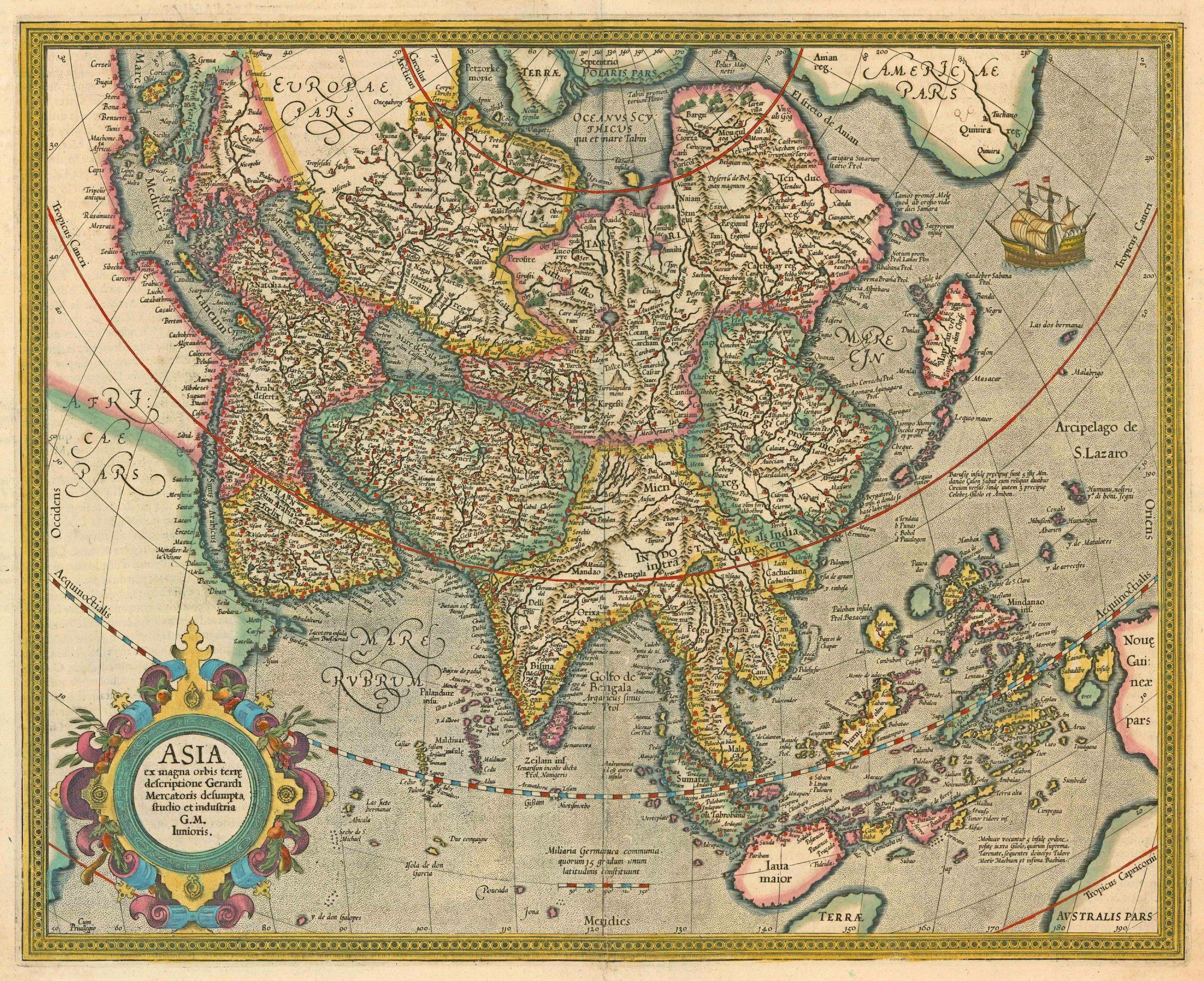
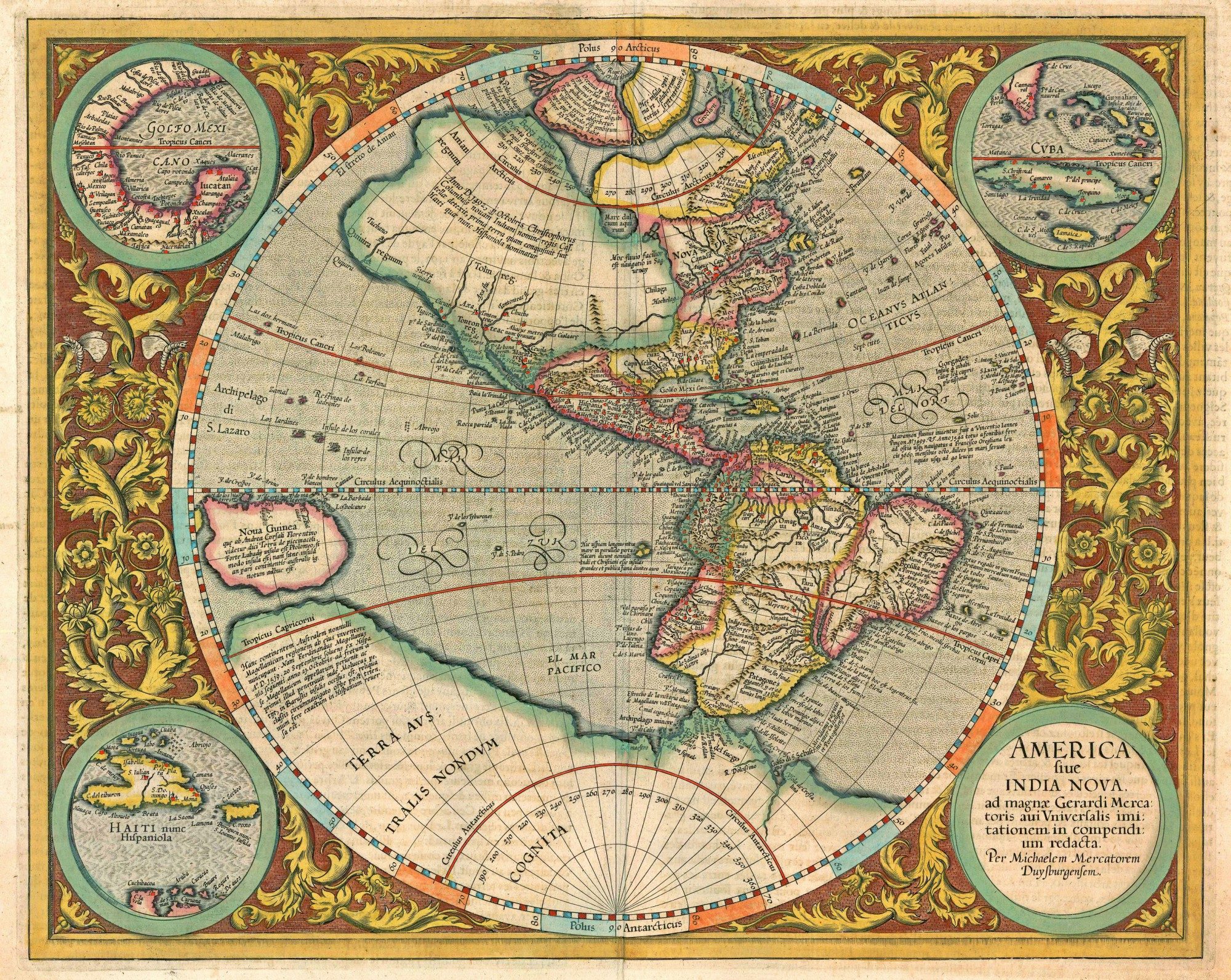
Unique set of 5 maps (from the same French atlas, 1613): World and four continents
Detail
Date of first editions: 1585-1587
Date of this map: 1613-1616
Dimensions:
- World map: 29 x 52,5 cm
- The continents: ca. 37.5 x 46.5 cm
Condition: Very good. Original colors. Wide margins. Not framed anymore.
- World: lower centerfold split reinforced
- America: slight shine-through of verso text
- Europe: centrefold repaired
- Africa: excellent
- Asia: lower centrefold split reinforced
Condition rating: A
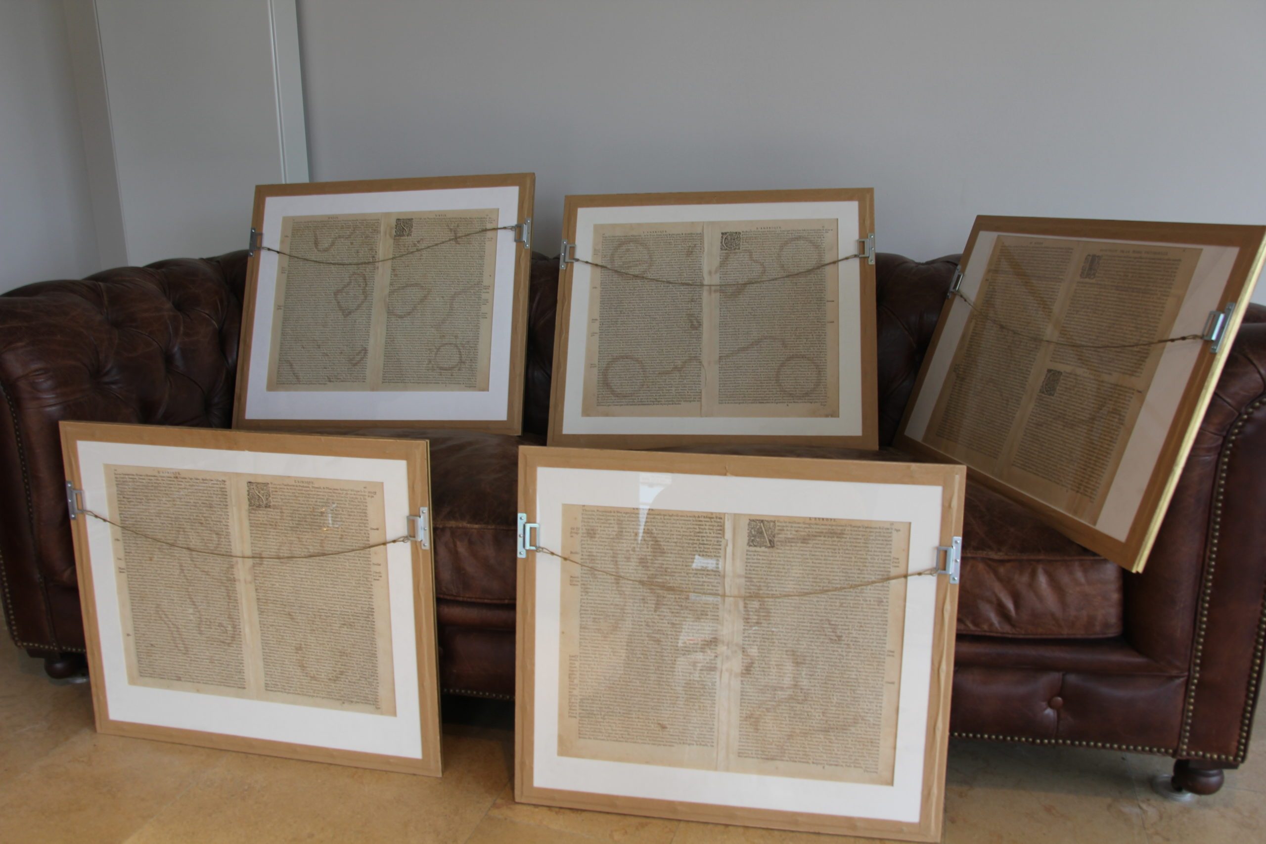
Verso: text in French
References
- World: Shirley (World), 157; Van der Krogt 1, 0001:1A, Karrow, 56/17.10
- America: Burden 87; Van der Krogt 1, 9000:1A, Karrow, 56/17.13; Wagner, 179
- Europe: Van der Krogt 1000:1A; Karrow, 56/38.1
- Africa: Van der Krogt 1, 8600:1A; Karrow, 56/17.11; Betz, 31
- Asia: Van der Krogt 1, 8000:1A; Parry, Pl. 3.13; Karrow, 56/17.12
From: Gerardi Mercatoris – L’Atlas ou Méditations Cosmographiques de la Fabrique du Monde et Figure diceluy. Amsterdam, J. Hondius, 1613-16; Van der Krogt 1, 112
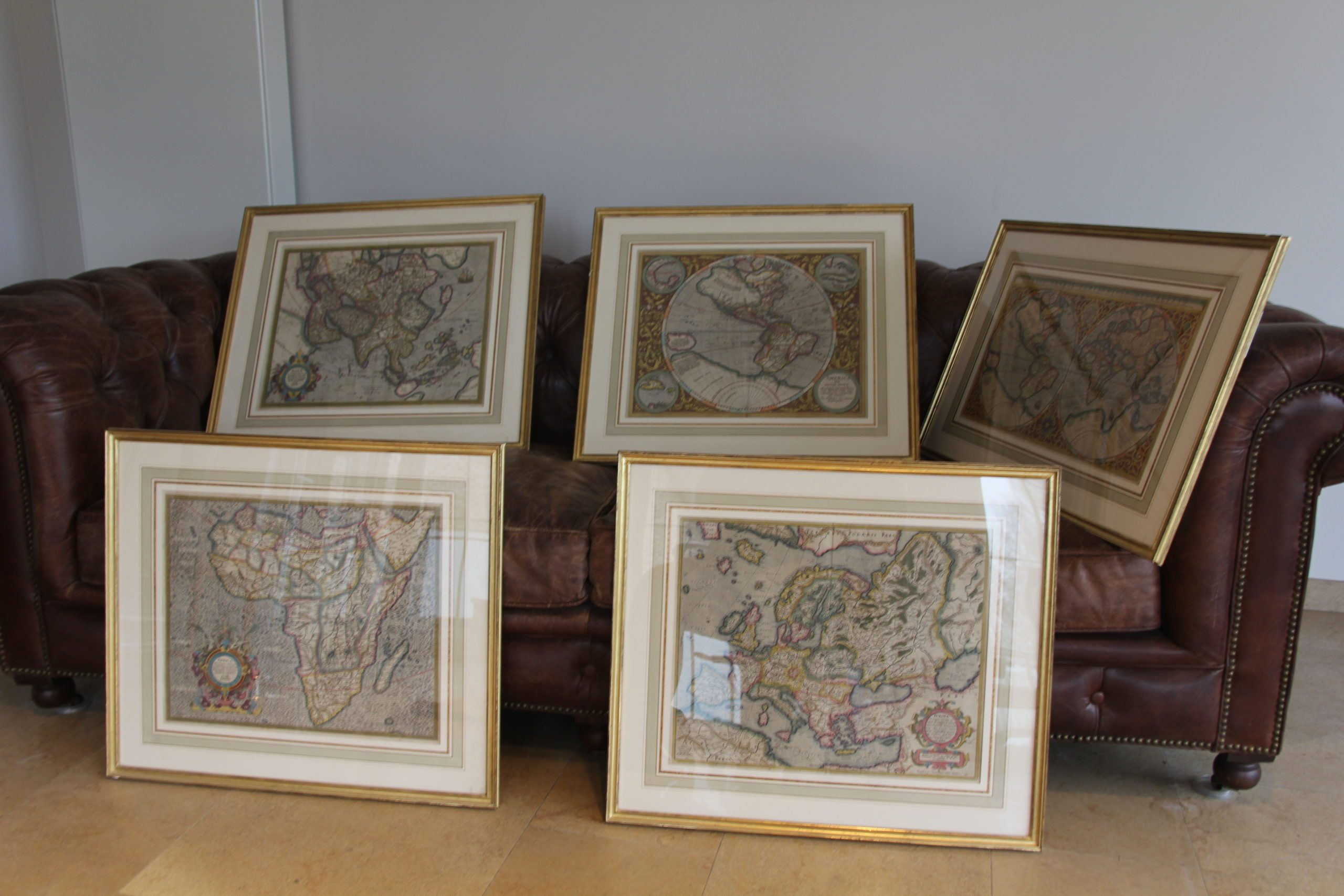
All maps are uniformly framed (see final two pictures). Therefore the shipping price set out below does not apply. Shipping costs to be agreed.
In stock
Gerard and Rumold
After the death of the great Gerard Mercator in 1594 it was left to his son Rumold to publish the last of three parts that formed his famous atlas, the Atlantis Pars Altera. The atlas was finished with a number of maps engraved by various descendants of Gerard. Gerard Mercator’s great world map of 1569 was condensed into double hemispherical form by his son Rumold. It first appeared in Isaac Casaubon’s edition of Strabo’s Geographia published in Geneva in 1587 with columns of text beneath the map. Later Rumold’s map was incorporated into editions of Mercator’s long-lived and influential Atlas from 1595 onwards.
The task of the American map was given to his grandson Michael. The only printed map known to be by him, it is beautifully engraved.
It is a hemispherical map contained within an attractive floral design, and surrounded by four roundels, one of which contains the title. The other three contains maps of the Gulf of Mexico, Cuba and Hispaniola, all spheres of Spanish influence. The general outline is largely taken from Rumold Mercator’s world map of 1587, with a little more detail added. A few of the most famous theories are still present: a large inland lake in Canada, two of the four islands of the North Pole, a bulge to the west coast of South America and the large southern continent. It does not show any knowledge of the English in Virginia, which is possibly a reflection of their failure by then. A large St. Lawrence River is shown originating half way across the continent. (Burden
