Tosai Kairiku no Zu
Unique 8 meter Japanese scroll from Edo to Dejima
Detail
Date of this view: 1800 – 1830
Dimensions: 800 x 27 cm
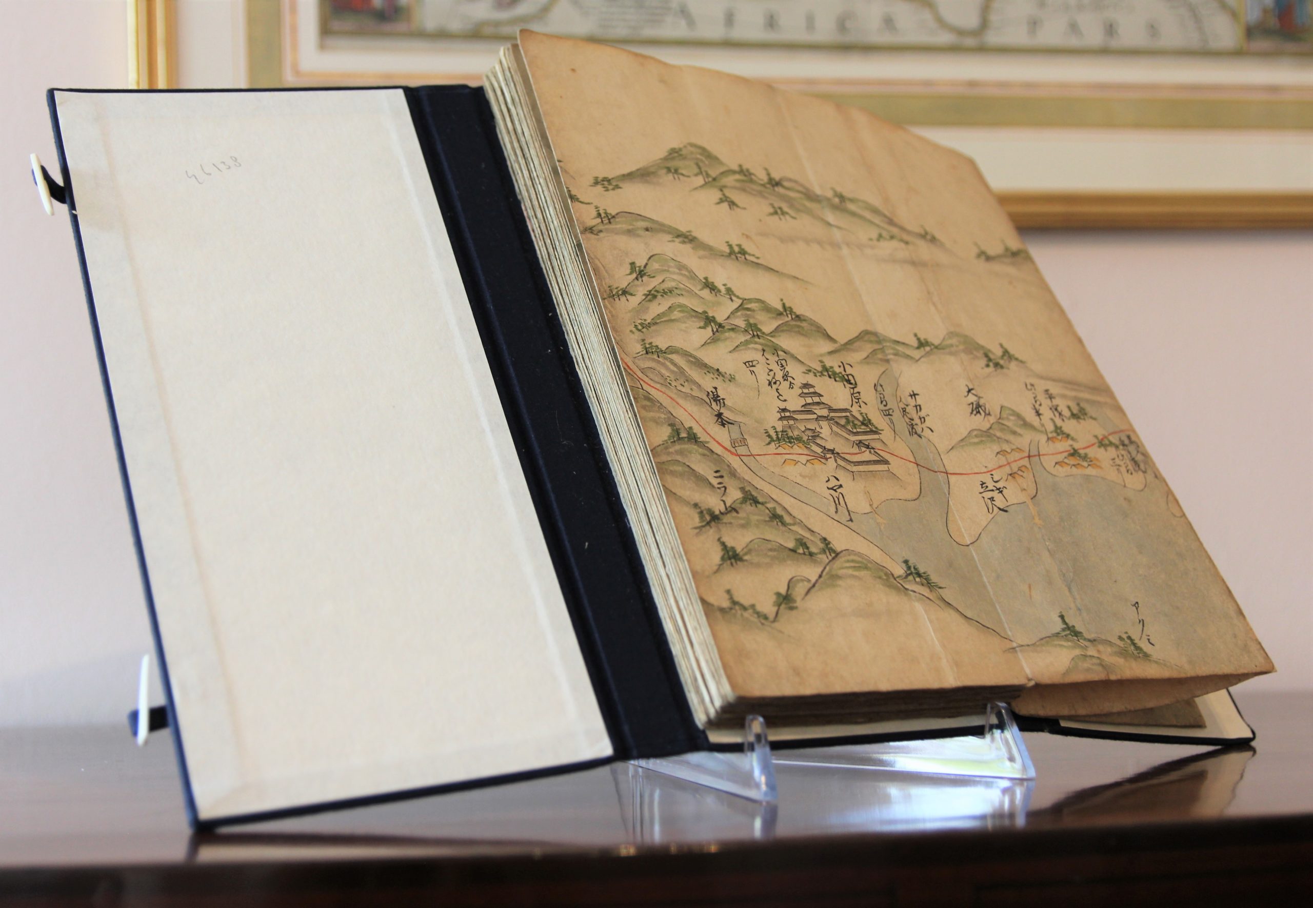
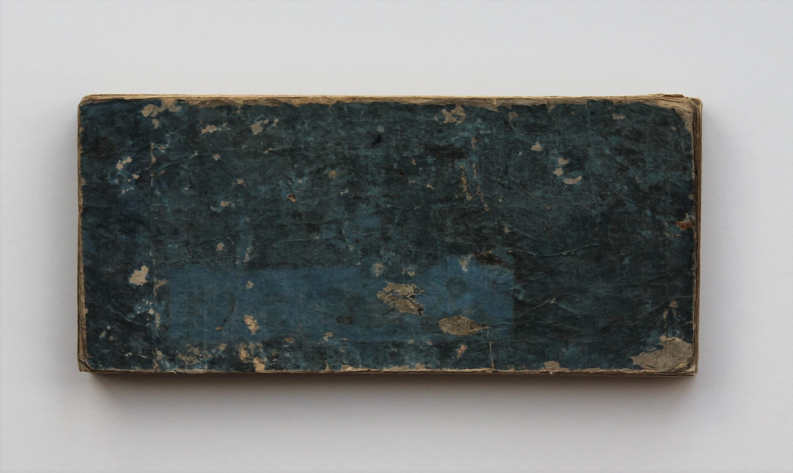
Book block of horizontal scroll of 8 meters,
Pen and ink with water colours on rice paper
Condition: very good. Attractive strong original colours
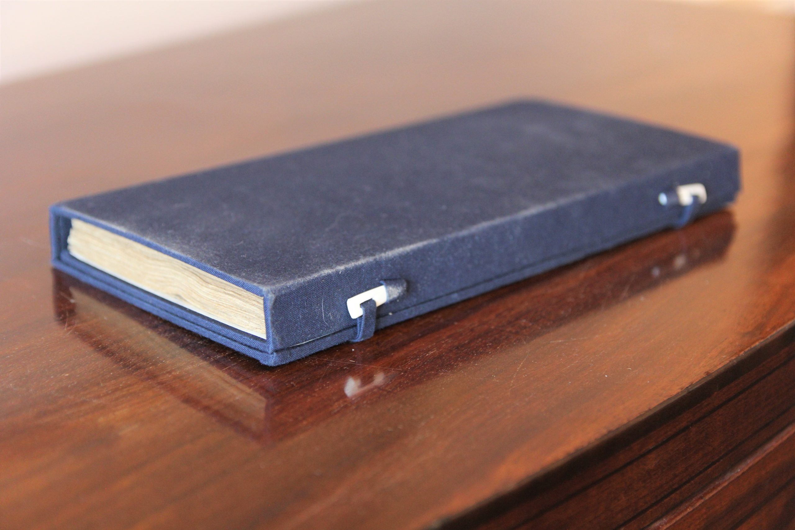
Presented in modern blue cloth case
Condition rating: A+
Verso: blank
Literature: Chiba, Reiko. Hiroshige’s Tokaido in Prints and Poetry. Tuttle. (1982) , Taganau, Jilly. The Tokai do Road: Travelling and Representation in Edo and Meiji Japan. RoutledgeCurzon (2004).”
Unless otherwise specifically stated on this map page, we charge the following expedition costs in euro (unfortunatelly, gone up with Covid, but still too low in reality!):
– Benelux: 40 euro
– Rest of Europe: 60 euro
– Rest of the World: 100 euro
This item is sold
Tosai Kairiku no Zu
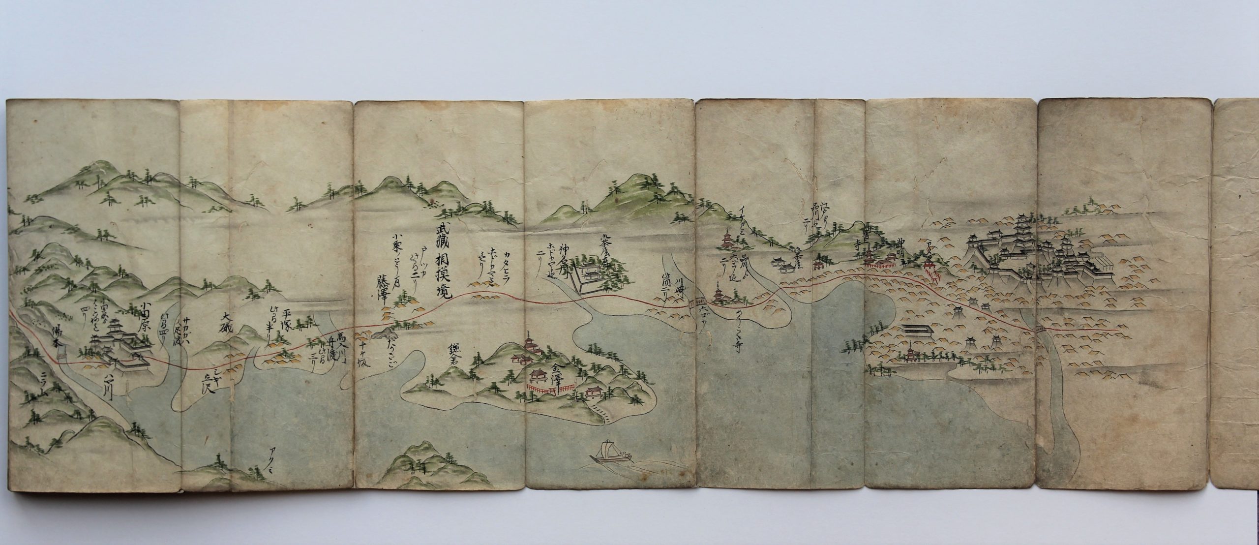
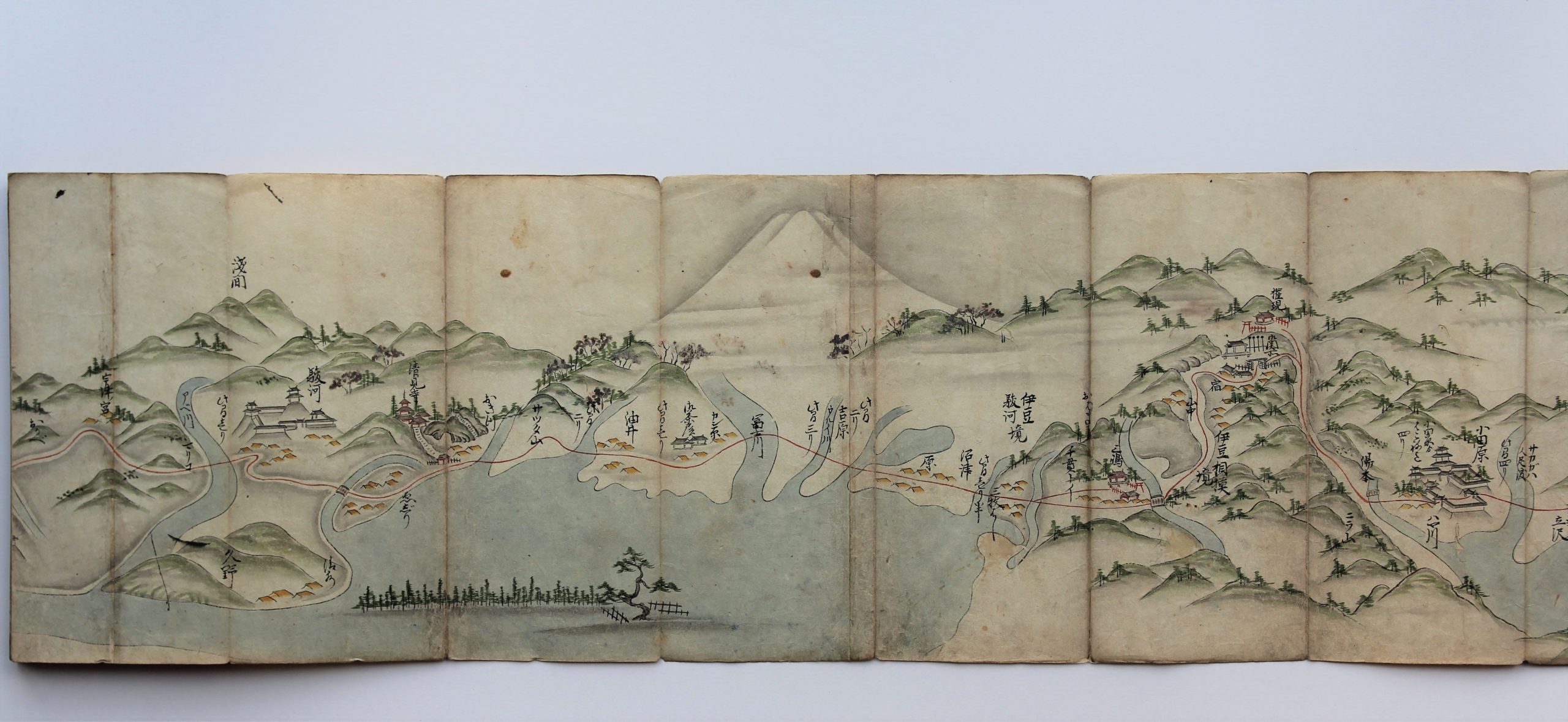
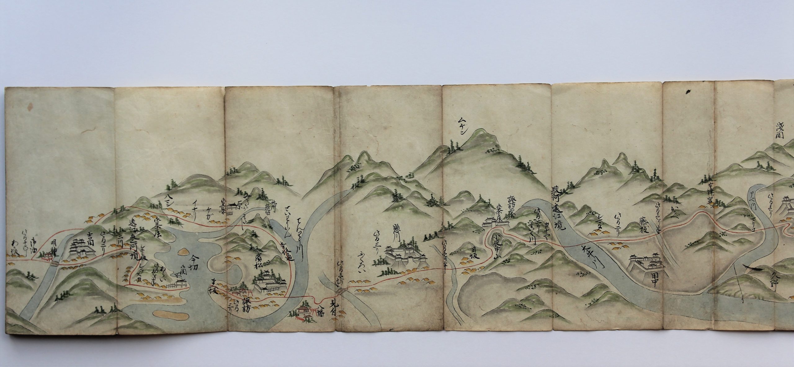
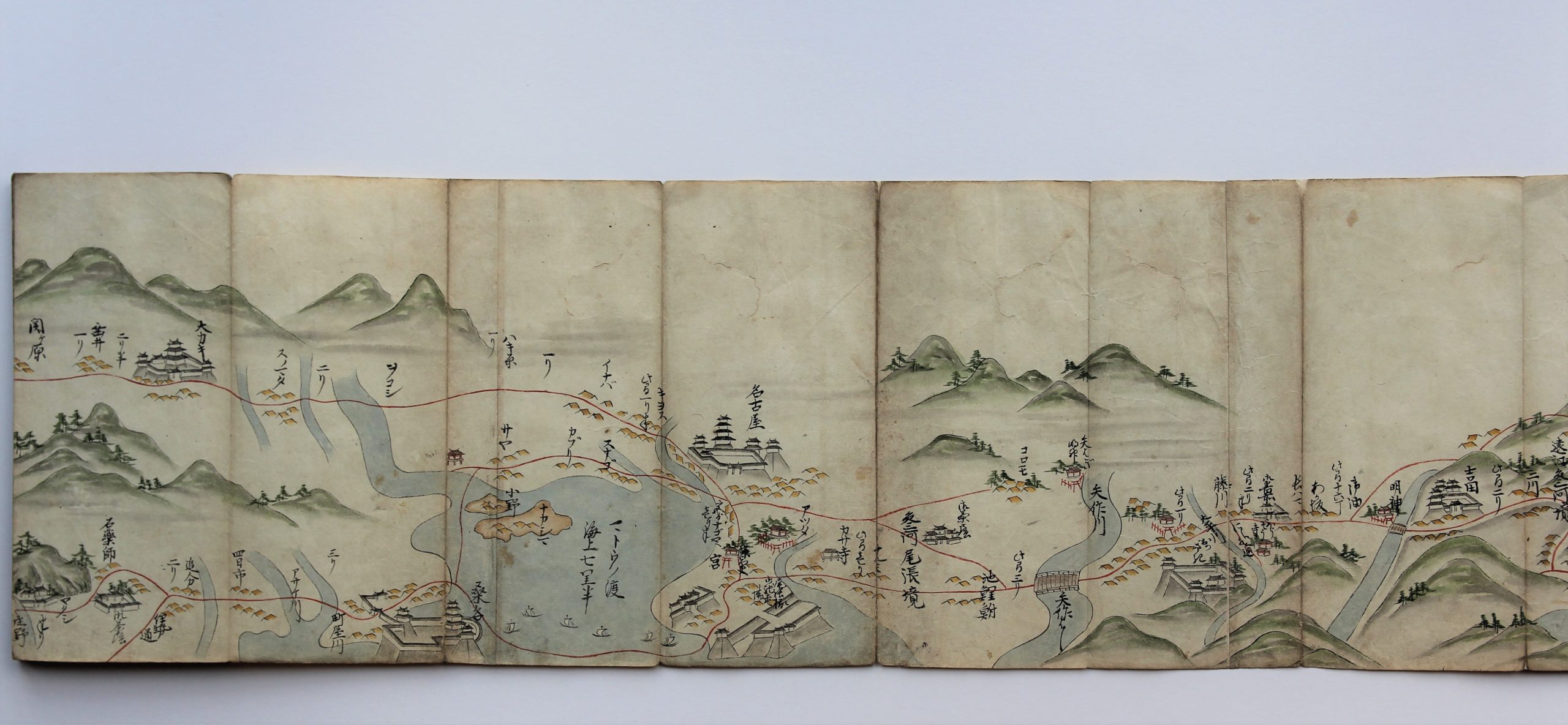
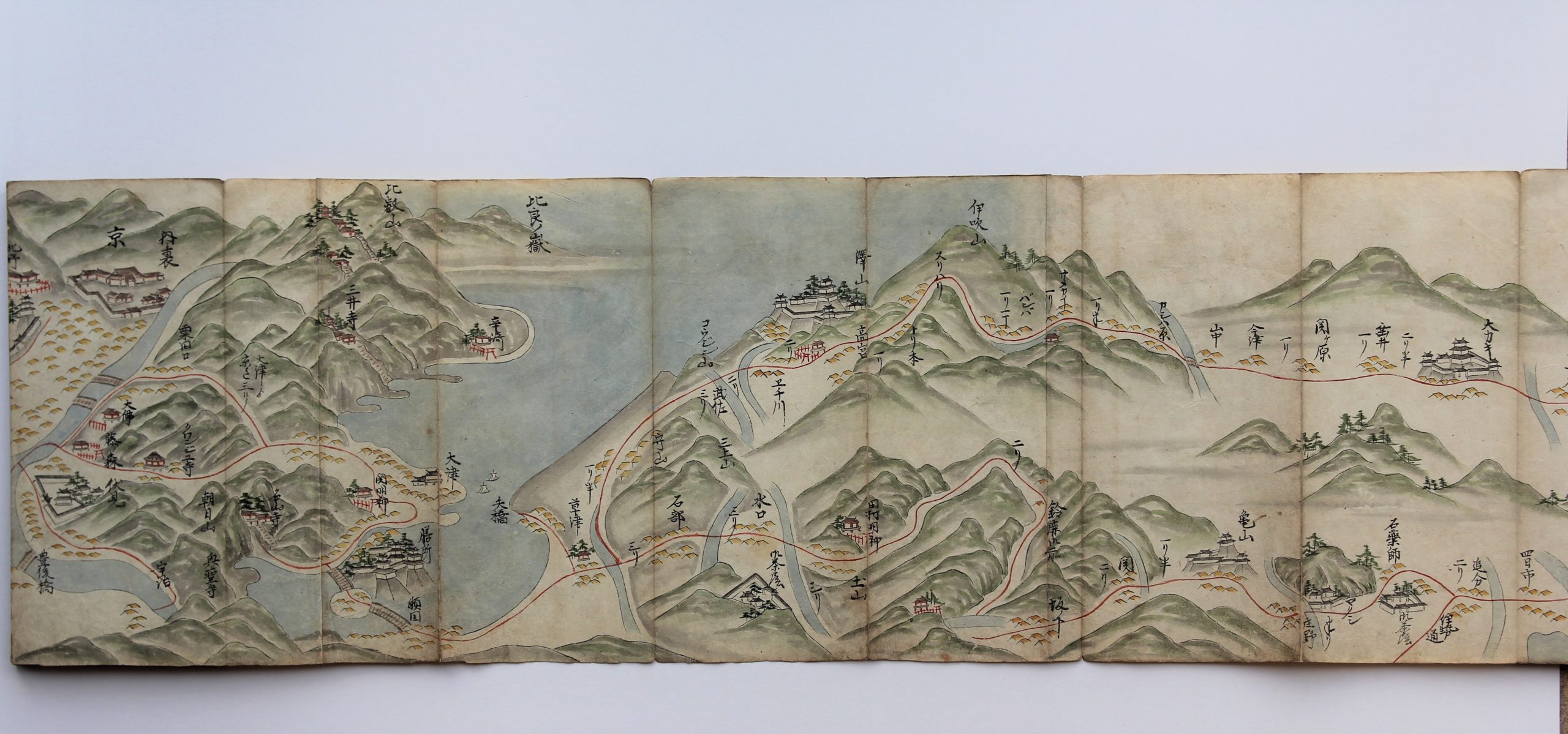
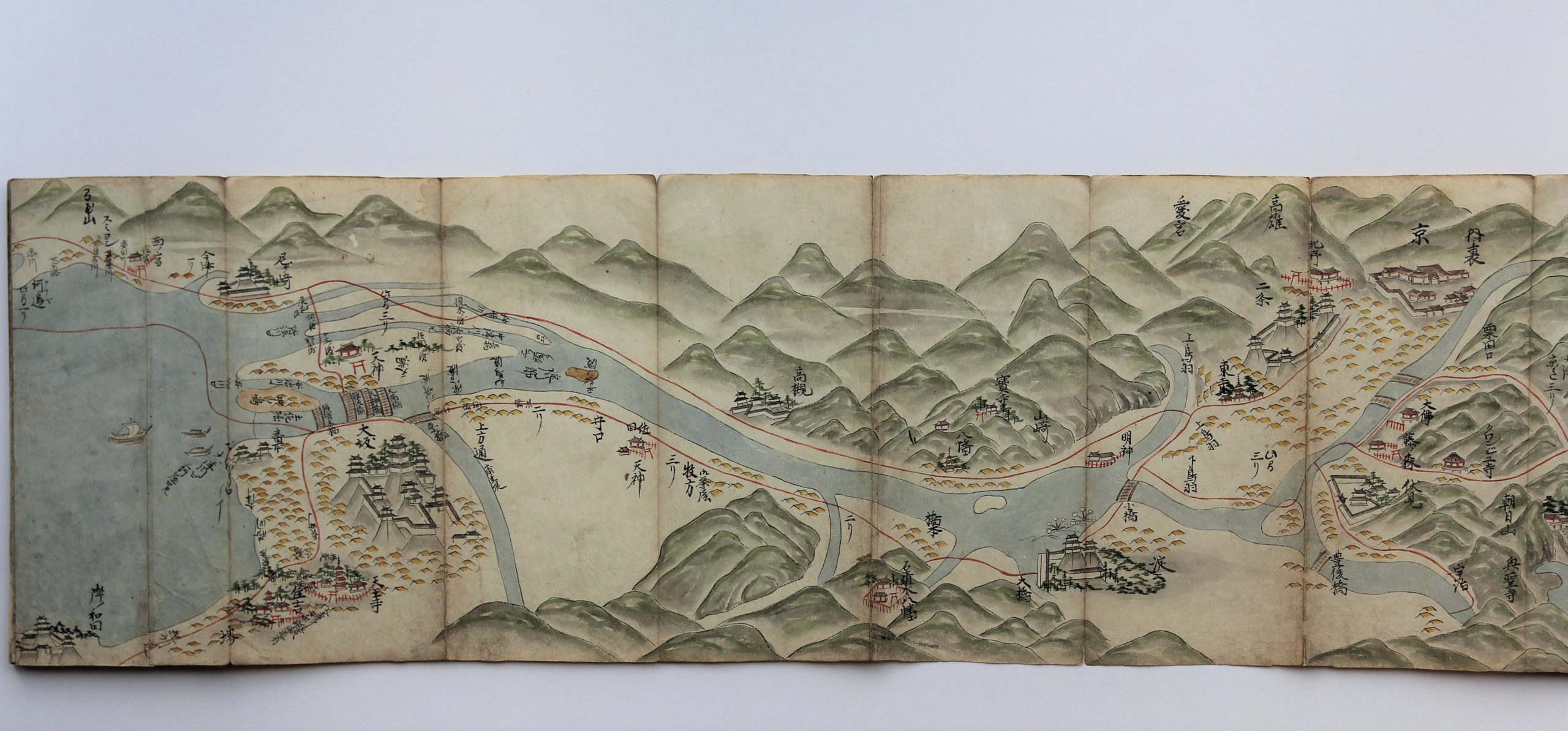
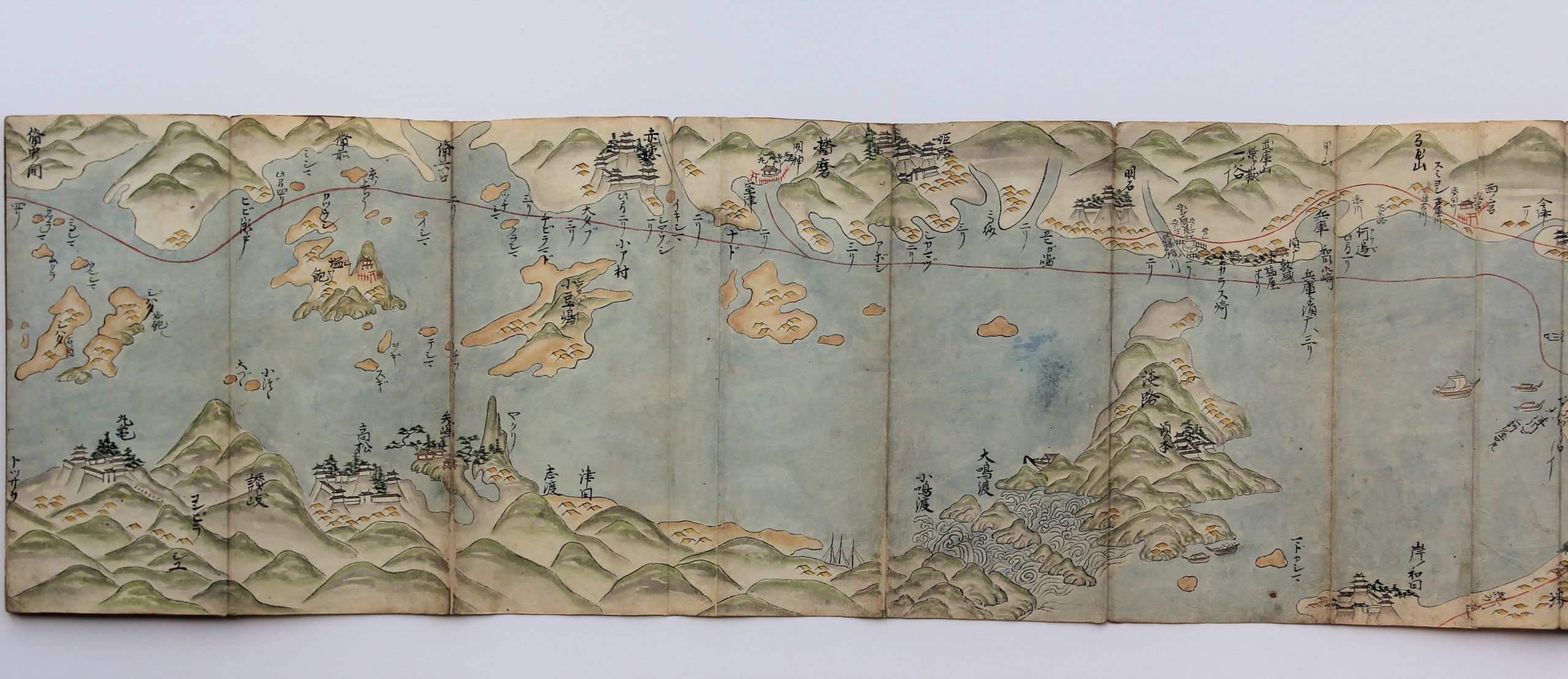
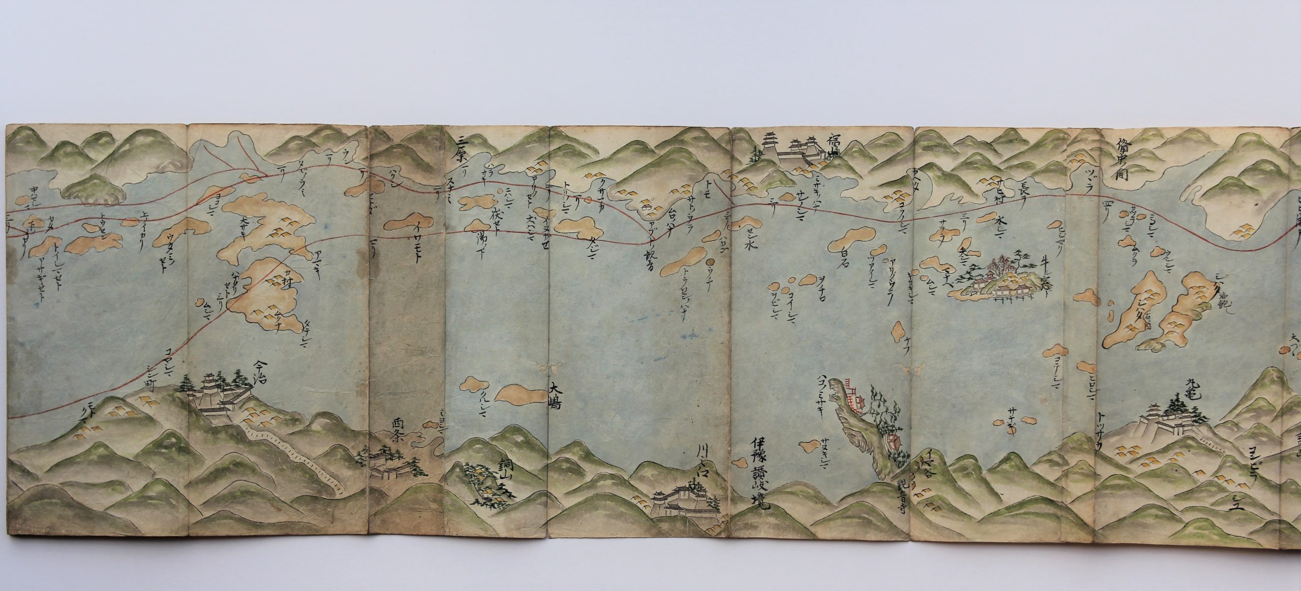
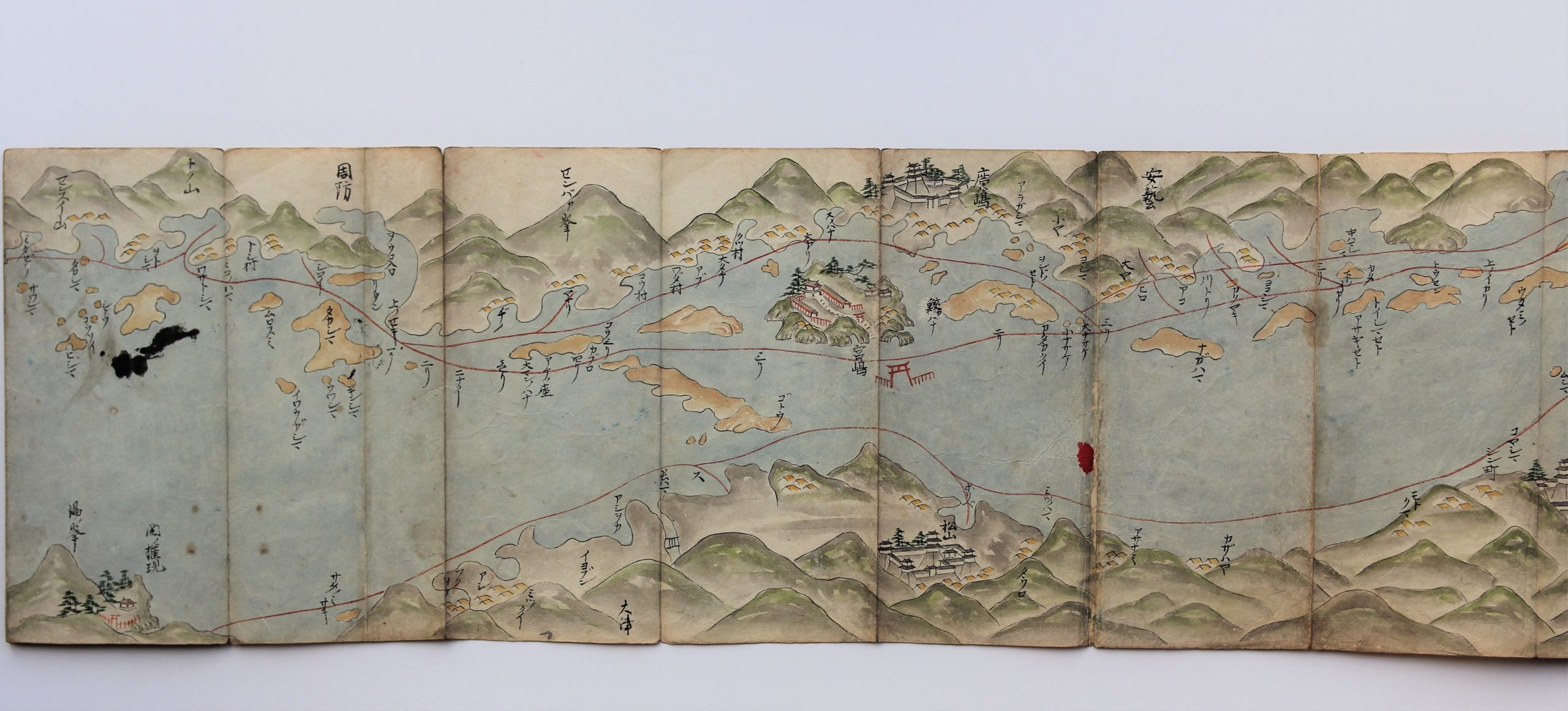
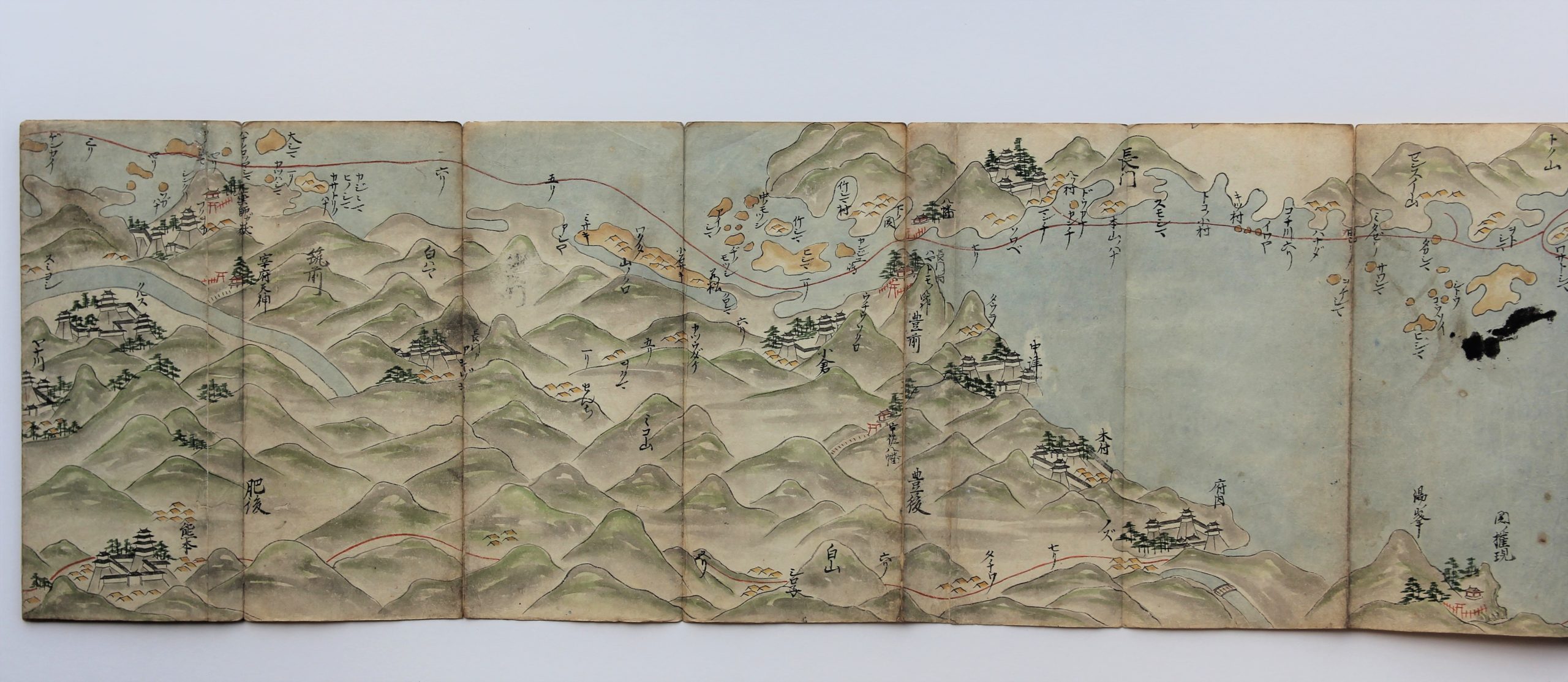
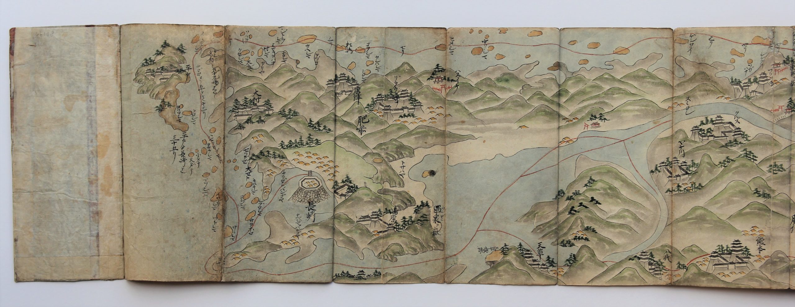
Tosai Kairiku no Zu is the route map of Japan from East to West by land and by sea. In fact it represents the route from Edo palace to Nagasaki (Dejima).
Kadokawa Chimei Daijiten, 1970 – 1980 (the major encyclopedia for Japanese geographic reference) writes the following:
The scroll begins with the illustration of Edo Castle, 江戸御城, the residence of the Tokugawa Shôgun until 1868. After the Meiji Restoration, it became the Japanese Imperial Palace.
Distances between the named places are often given in Ri (1 Ri, 1 里, ca. 4 km). Castle towns, tea houses, (Ochaya, 御茶や), rivers, islands, bridges, and mountains are portrayed and named on the road. Road travelers and a few small sailing boats on Japan’s seashore are also shown embellishing the scroll.
The first place named on the road is Atago, 愛宕, where a Shintô shrine with its characteristic red gate is shown. Then, attention is drawn to Zôjôji, 増上寺, a Buddhist temple and to Shinagawa, 品川, the starting point of the famous Tôkaidô Road, connecting Edo with the Imperial Capital Kyôto, immortalized by many novels and Hiroshige’s beautiful prints showing the 53 stations where a shelter was given to the travelers.From the innumerable names on the scroll a selection of castle towns and important names follow here: Hakone, Hamamatsu, Yoshida, Okazaki, Nagoya, Ôgaki, Sekigahara (the famous battlefield at the origin of the foundation of the Tokugawa Shôgunate), Hieiyama (with the main temple of the Buddhist Pure Land sect), Daibutsu, (the term often used for large statues of Buddha), Sanjô (the famous bridge in Kyôto, corresponding to the 0 km, from which distances are measured from the imperial capital), Dairi (大裏, the Imperial Palace, Kyôto), Tôji, (東寺 or Eastern Temple, a Buddhist temple of the Shingon sect in Kyôto’s center.
Further names on the scroll are: Fukuoka, Kumamoto, Shimabara, (In the wake of the rebellion of Japanese Christians in 1637, the catholic religion was prohibited in Japan until 1850), Nagasaki (the single city open to trade with the Dutch merchants and the city from where western science was introduced to Japan), Hirado, 平戸, the beautiful island where the English merchants were staying between 1600 – 1613 and the Dutch until their transfer in 1639 to Dejima Island in Nagasaki’s, 長崎, port.
Particularly fine calligraphy in Japanese “kuzushiji, 崩し字”, readable in our days only by specialists: an exceptional artwork preserved in very good condition. Undated, ca. 1800 – 1830, based on the date of name changes occurring in the indicated period of time. Hundreds of places portrayed or mentioned, many of them no longer on modern maps because of name changes during the centuries.
Horizontal scroll, pen and ink with water colours on rice paper. Presented in concertina form with paper covers. Size of the book block 270 x 120 mm.
Literature: Chiba, Reiko. Hiroshige’s Tokaido in Prints and Poetry. Tuttle. (1982) , Taganau, Jilly. The Tokai do Road: Travelling and Representation in Edo and Meiji Japan. RoutledgeCurzon (2004).
Pictures
First part: Edo Castle left
Second part: Mount Fuji
Final part: Dejima on the rock island