Brabant
by
Sebastian Münster
Detail
Date of first edition: 1540
Date of this map: 1542
Dimensions (not including margins): 26 x 34 cm
Condition: Good. Wood cut. Centre fold as published; some age-toning. Wide margins.
Condition rating: A
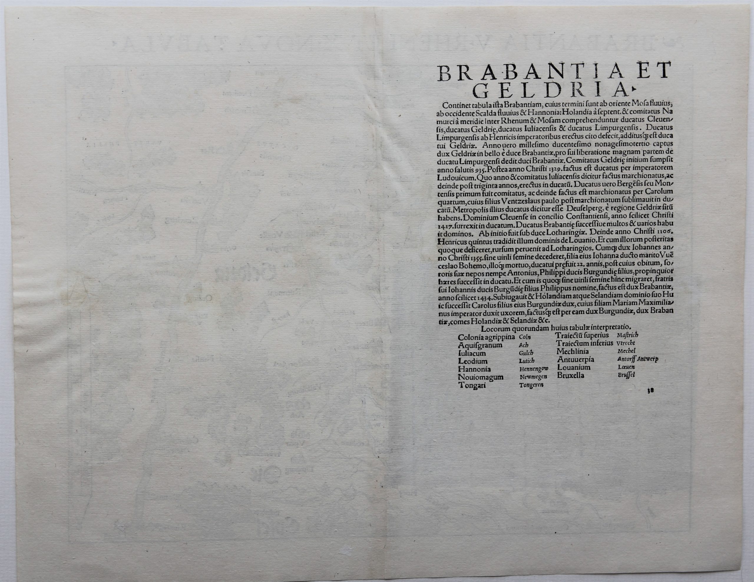
Verso: text in Latin
Map reference: Karrow, 58/110
From: Geographia Universalis, Vetus et Nova, complectens Claudii Prolemaei Alexandrini enarrationis libros VIII. Basel, Heinrich Petri, 1542
Price (without VAT, possibly to be added): €550,00 (FYI +/- $610,50 / £489,50)
Unless otherwise specifically stated on this map page, we charge the following expedition costs in euro (unfortunatelly, gone up with Covid, but still too low in reality!):
– Benelux: 40 euro
– Rest of Europe: 60 euro
– Rest of the World: 100 euro
In stock
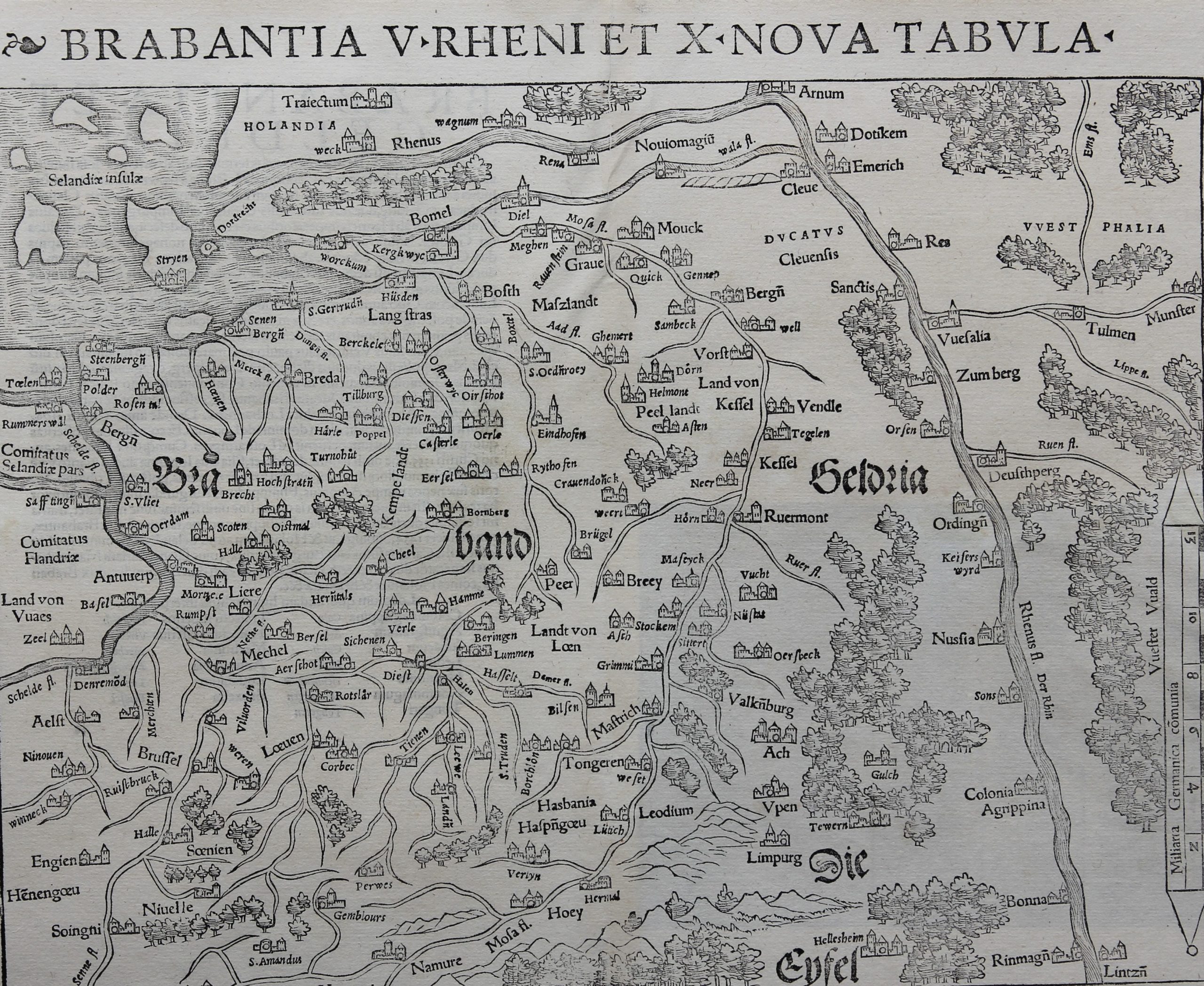
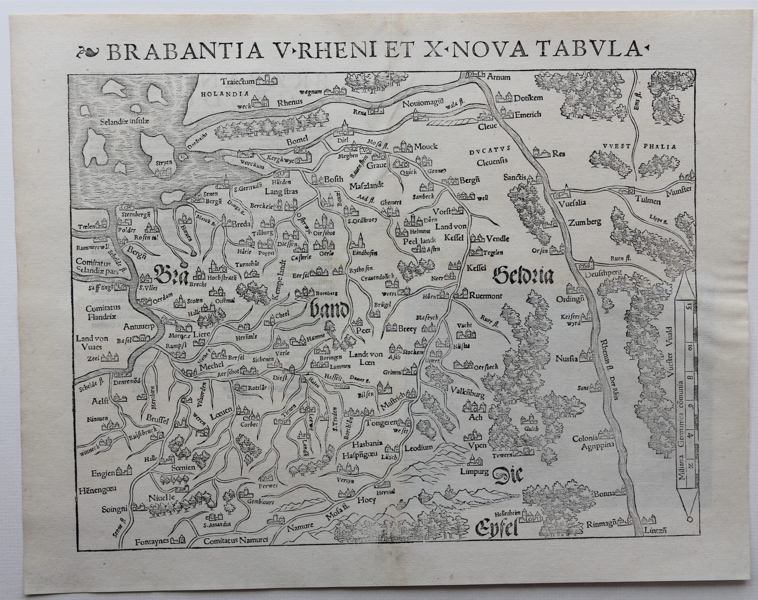
One of the oldest maps of the duchy of Brabant
Dating 1540, so still a woodcut and without any boundaries, it covers a larger region up to River Rhine from Rinamgn (remember WW II bridge!) to Arnum, further due west to Dordrecht. The inland river system is prominently present. The islands of Zeeland are naively portraited.
The verso contains a table with Latin names of certain locations which existed in Roman times.
Original title: Brabantia V Rheni et X Nova Tabula