Hoorn
Tribute to a city
Detail
Date of first edition: 1649
Date of this map: 1652
Dimensions (not including margins): 38,5 x 50,8 cm
Dimensions (including margins): 51,8 x 62,3 cm
Condition: excellent. Sharp copper engraving printed on strong paper. Nice colouring, heightened in gold, minor age-toning. Centre fold as published. Wide margins, with minor repair in centre fold margin.
Condition rating: A
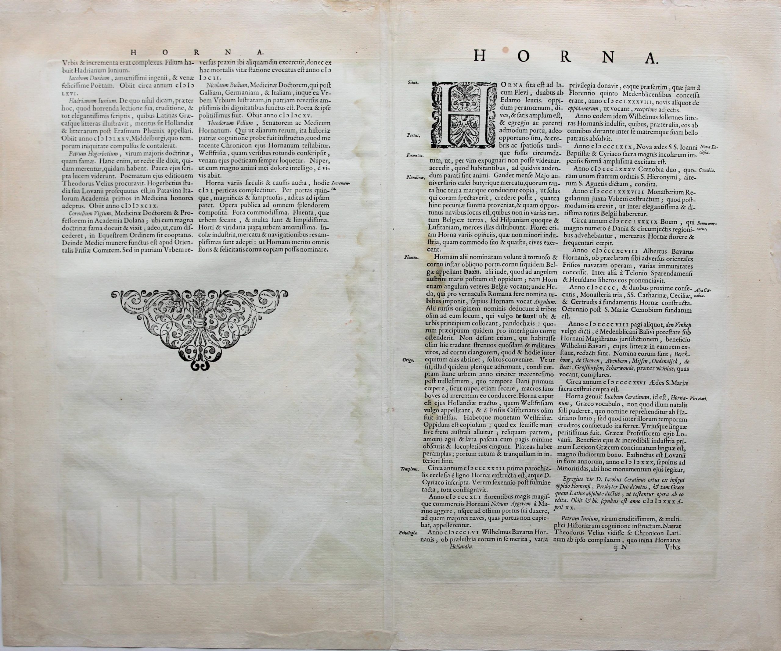
Verso: text in Latin
Map reference: Van der Krogt: 4,2(1), 1824
From: Novum ac Magnum Theatrum Urbium Belgicae liberae et foederatae (Stedenatlas); Van der Krogt, 4,2 (1), 43:112, page ijN
This is the second state of the map: first state only published in Dutch version of 1649. Second state dedication and signature Jan Blaeu deleted.
This item is sold
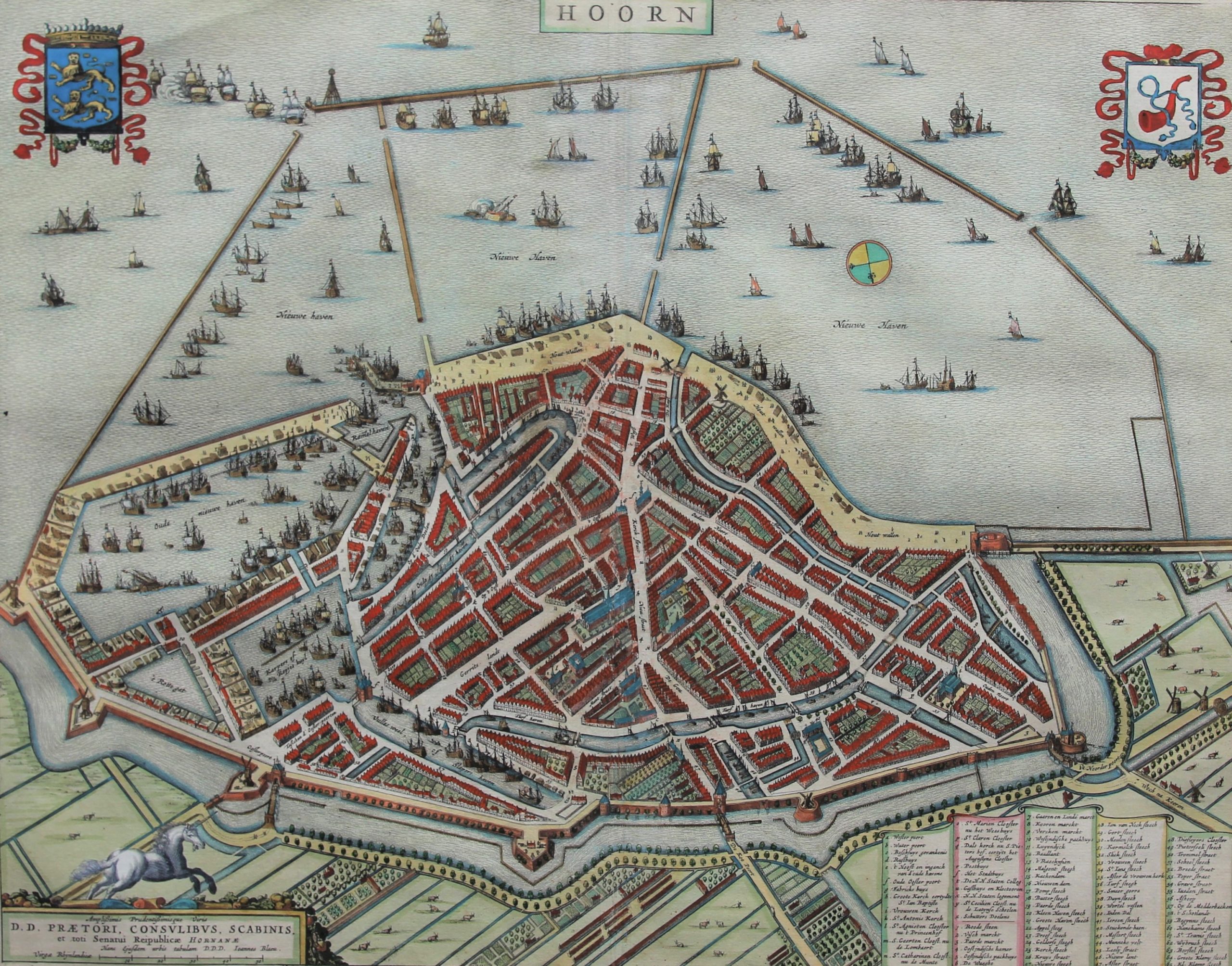
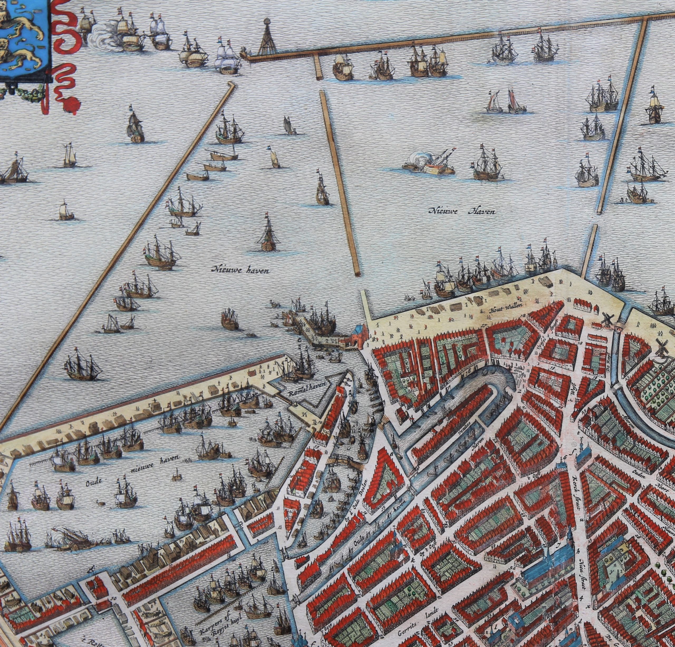
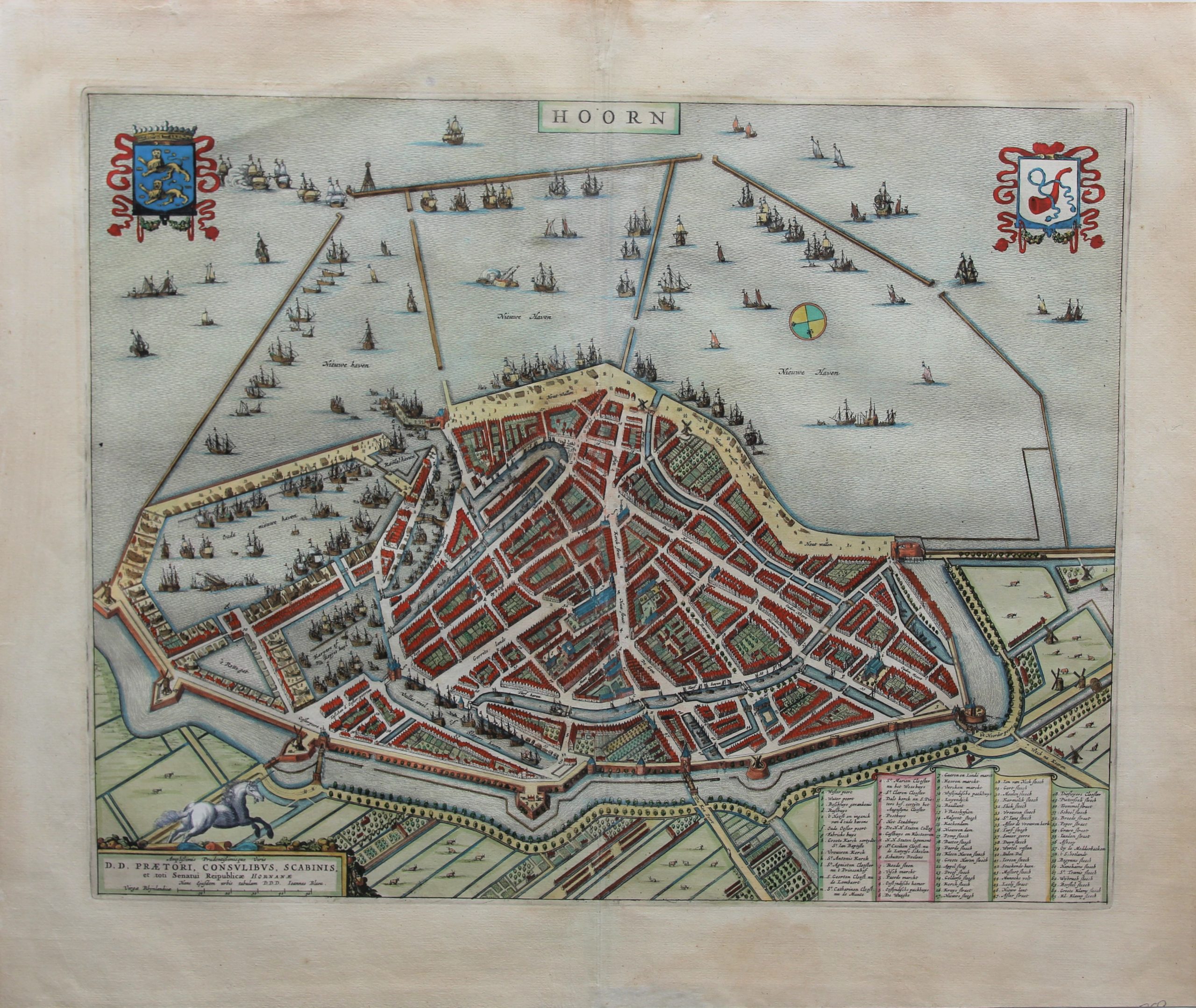

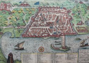
Hoorn: tribute to a city!
Hoorn was the main city of West Friesland which was annexed in 1297 by and to the county of Holland.
In the sixteenth and seventeenth centuries, the city experienced its greatest boom. Hoorn had one representative in the Heeren XVII, the central administration of the VOC. The city was also represented in the WIC (West Indian Company) and the Northern Company (or Company of Spitsbergen). The Admiralty of the ‘Northern Quarter’ (north of the IJ) was also established in Hoorn.
Thanks to Jacob Le Maire and Willem Scheuten the city name has obtained eternal fame when they rounded the Cape (Horn) in 1616.
Top corners: coat of arms of West-Friesland and of Hoorn