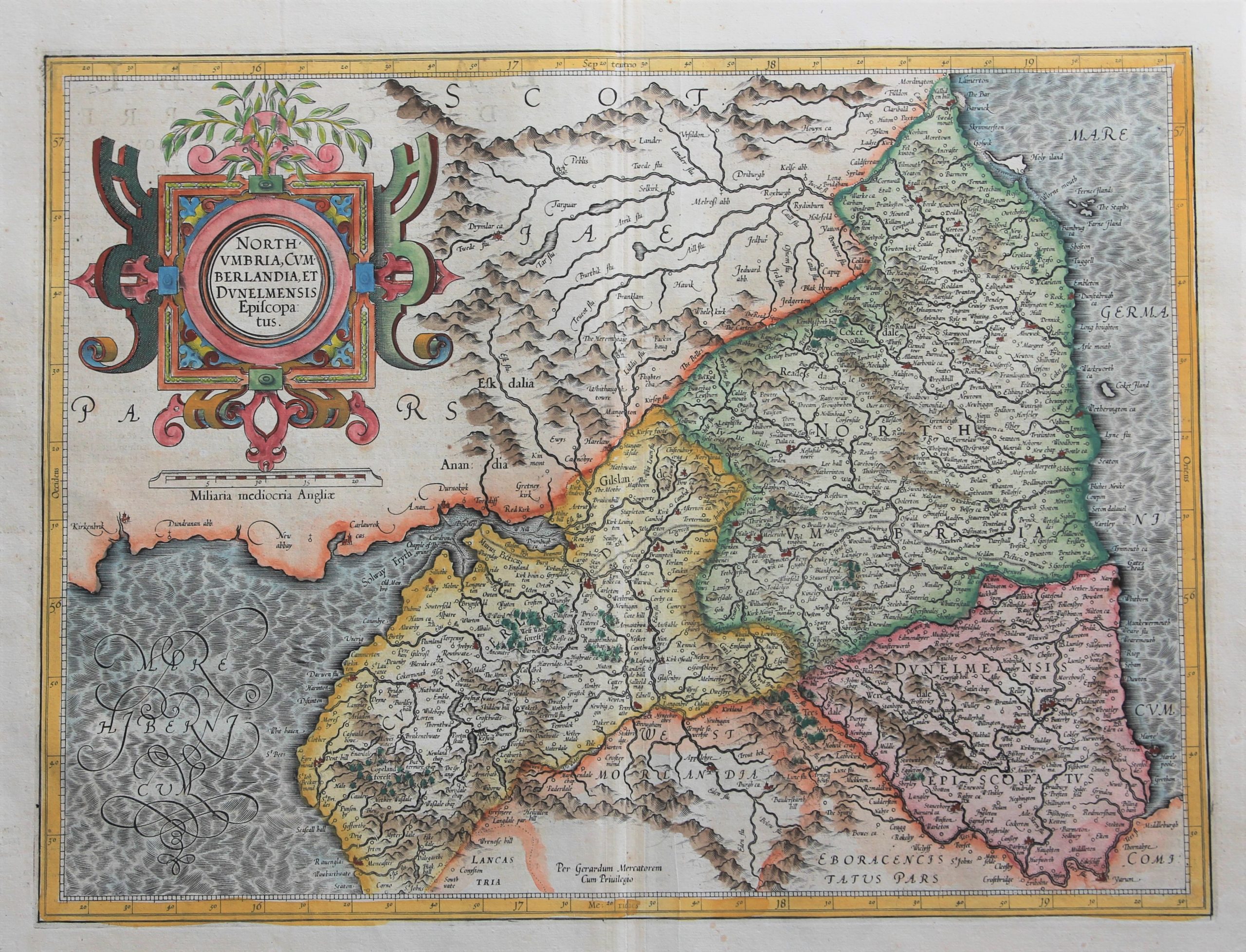
Northumberland, Cumbria and Durham – Northumbria, Cumberlandia, et Dunelmensis Episcopatus
by
Jodocus Hondius Jr., Gerard Mercator
Detail
Date of first edition: 1595 (Mercator)
Date of this map: 1613-1619 (Jodocus Hondius II)
Dimensions (not including margins): 36,5 x 35 cm
Dimensions (including margins): 57,4 x 46,8 cm
Condition: Very good. Strong paper and very wide margins.
Condition rating: A
Verso: text in Latin
Map reference: Van der Krogt, 5110:1.1
From: Gerardi Mercatoris – Atlas sive Cosmographicae. Van er Krogt 1:104
Price (without VAT, possibly to be added): €550,00 (FYI +/- $610,50 / £489,50)
Unless otherwise specifically stated on this map page, we charge the following expedition costs in euro (unfortunatelly, gone up with Covid, but still too low in reality!):
– Benelux: 40 euro
– Rest of Europe: 60 euro
– Rest of the World: 100 euro
In stock


North England
A beautiful early seventeenth century map of the northern counties of England, from a Latin edition of the Mercator-Hondius Atlas Major, essentially a reprint of Mercator’s earlier Atlas sive Cosmographiae further expanded with new plates engraved by Hondius. The map shows Cumbria, Northumberland, Westmorland, Durham, and adjacent parts of Lancashire, Yorkshire, and Scotland. County boundaries are outlined in hand colour, and Mercator’s heavily hatchured seas are washed in blue. Forests, rivers, lakes, and hills are depicted pictorially, and principal cities and towns are picked out in red. Hadrian’s wall, depicted as a hatched line, is here labelled as the ‘Murus Picticus,’ the Picts’ Wall. The map is further embellished with a large and ornate strapwork cartouche in the top left corner, above a scale in English miles.