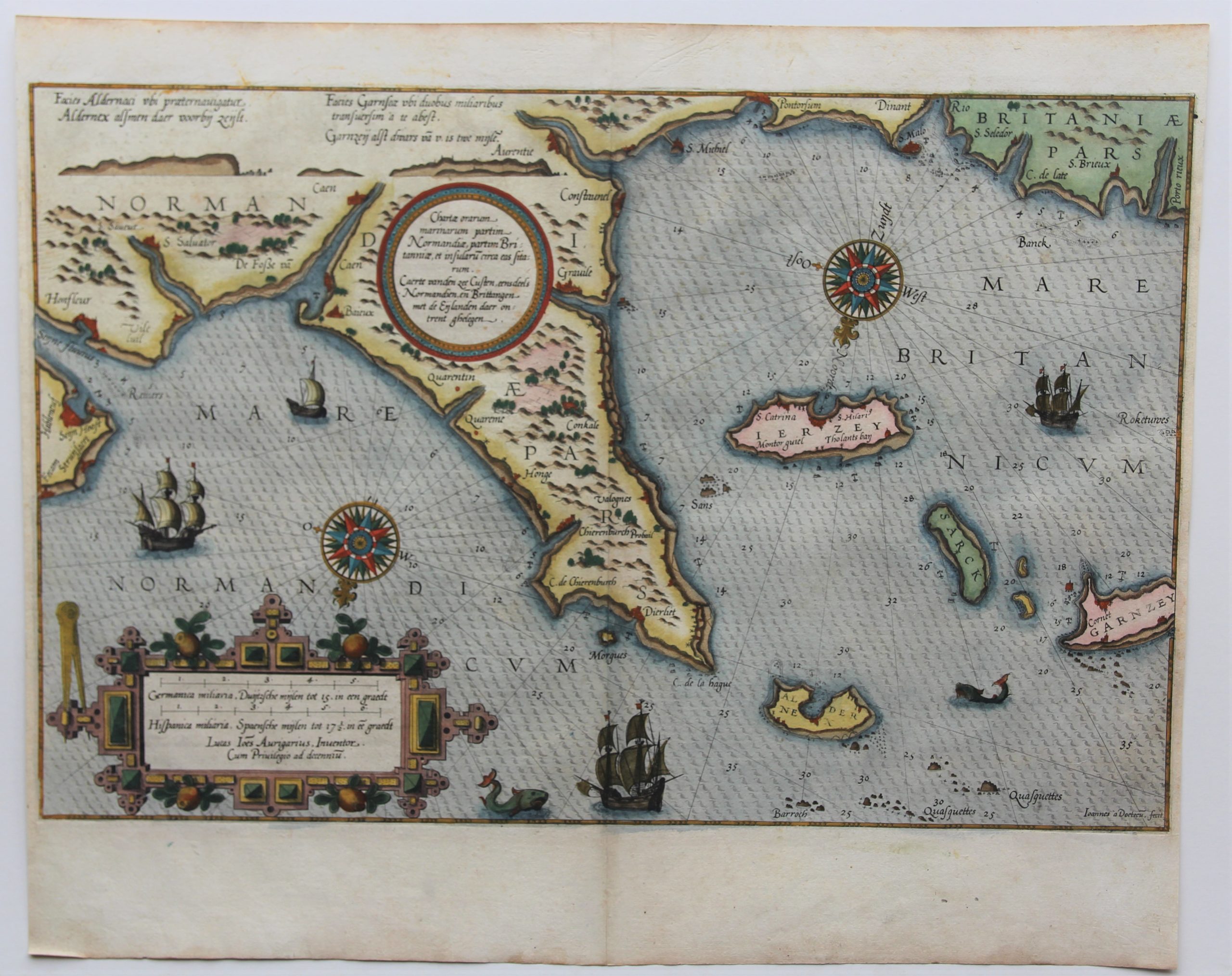
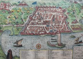
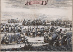
Normandy – Normandia
Detail
Date of first edition: 1584
Date of this edition: 1586
Dimensions (not including margins): 33 x 5 cm
Dimensions (including margins): 41,5 x 51,3 cm
Condition: Very good. Sharp copper engraving printed on strong paper. Old colouring. Wide margins. General slight age-toning.
Condition rating: A+
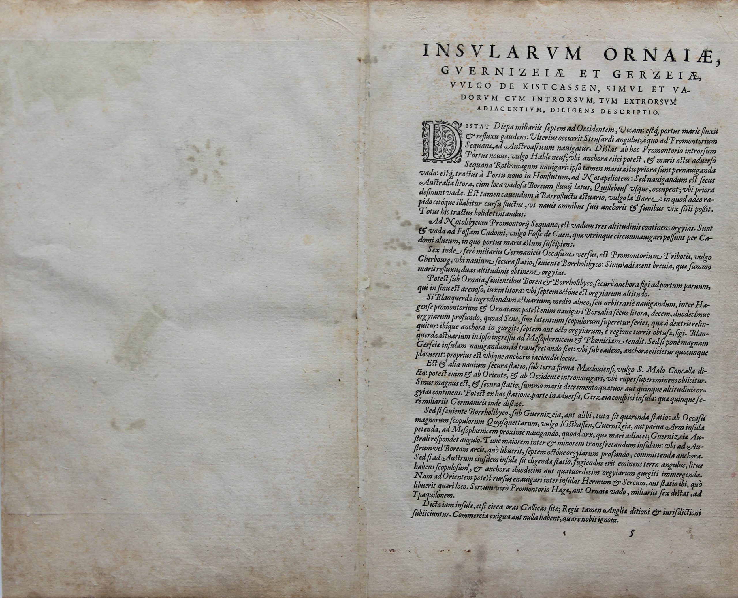
Verso: text in Latin
From: Pars Prima Speculum Nauticum super navigatione maris Occidentalis confectu…, page 5
(Spieghel der Zeevaerdt, vande navigatie der Westersche zee Innehoudende alle de Custen van Franckrijck, Spaignen, en t’ principaelste deel van Engelandt, …)
In stock
Waghenaer
The illustration depicts L. J. Waghenaer’s marine atlas, “The Mariner’s mirror”, published from 1584.
Lucas Janszoon Waghenaer was born in Holland in the 1530s. He became a famous ship pilot of his time. In 1584 he published the atlas (“Spieghel der Zeevaerdt”), which was greatly valued among mariners for centuries. This was not only because of its map content, but also because of a detailed knowledge of navigation techniques of that time. When it was translated from Dutch to English, the atlas appeared with a title page we are using on our home page.
On this map
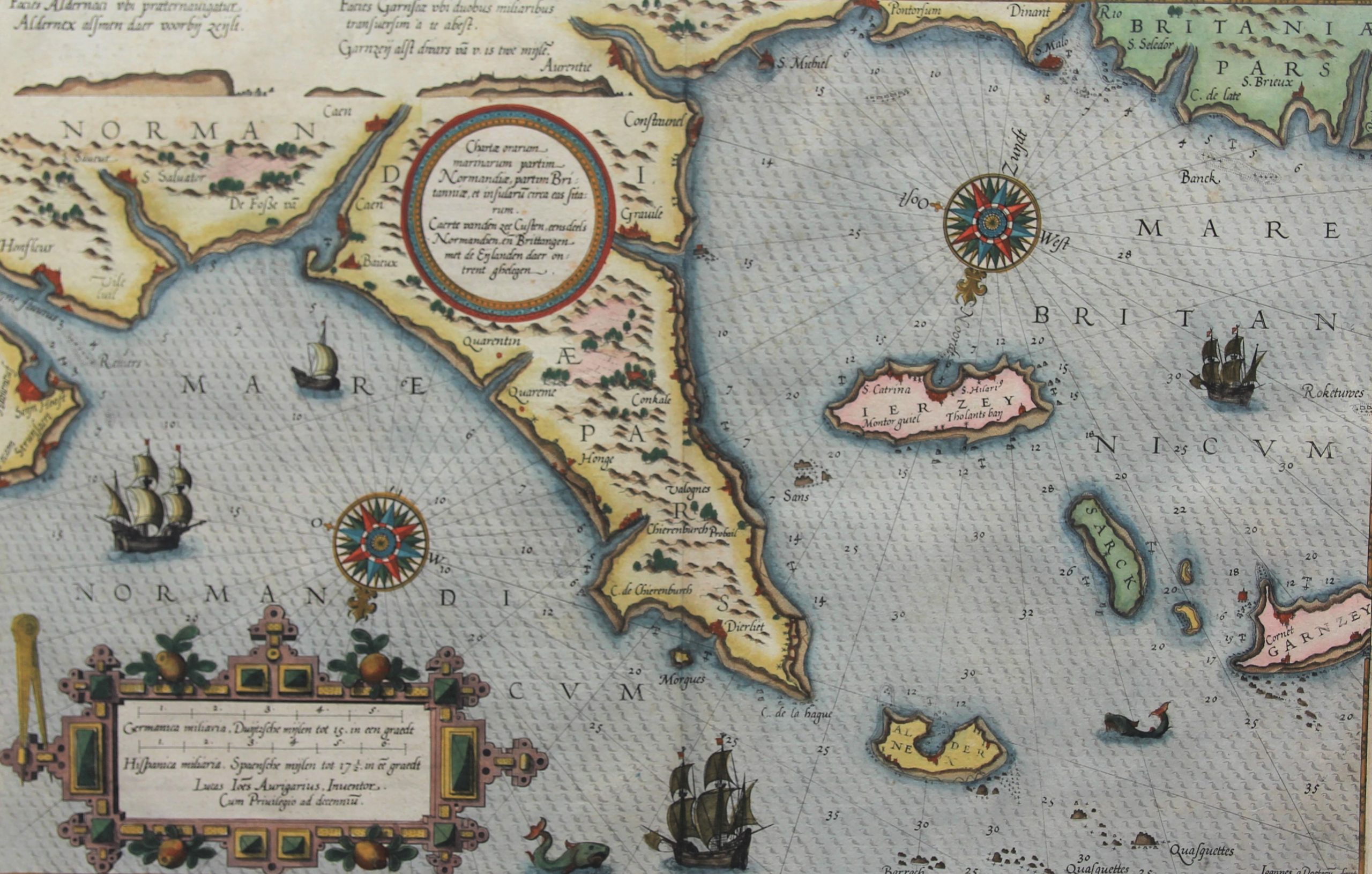
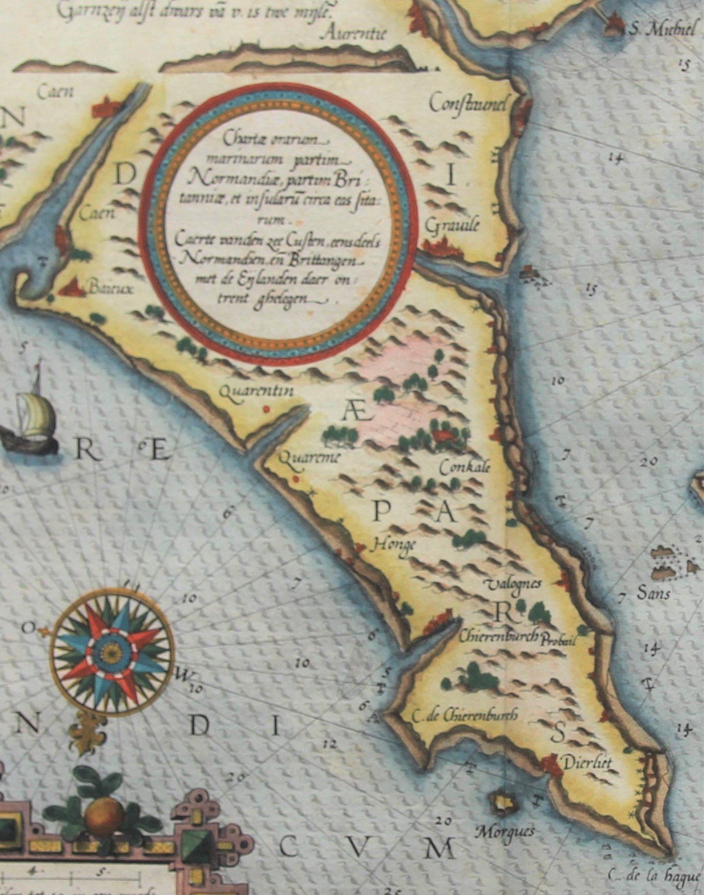
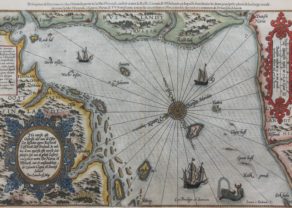
This map primarily shows the coast of the present-day region of Basse-Normandie, starting in the north-east (left) at Hableneuf (Le Havre) at the mouth of the Seine and thus precisely in Haute-Normandie. located. On the peaceful beaches between Caen and Quaretun (Carentan) / Quareme, D-Day would take place some 360 years later on June 6, 1944. Honge is Hougue (and not Point Hoc between Utah and Omaha). Furthermore the map shows Chierenburgh (Cherbourg), Grauile (Granville) up to the rock of S. Michiel (Mont Saint Michel). Just beyond this fabulous cathedral, Normandy now changes into Brittany, which is otherwise shown on the map. Finally, one sees the castle of S. Malo.
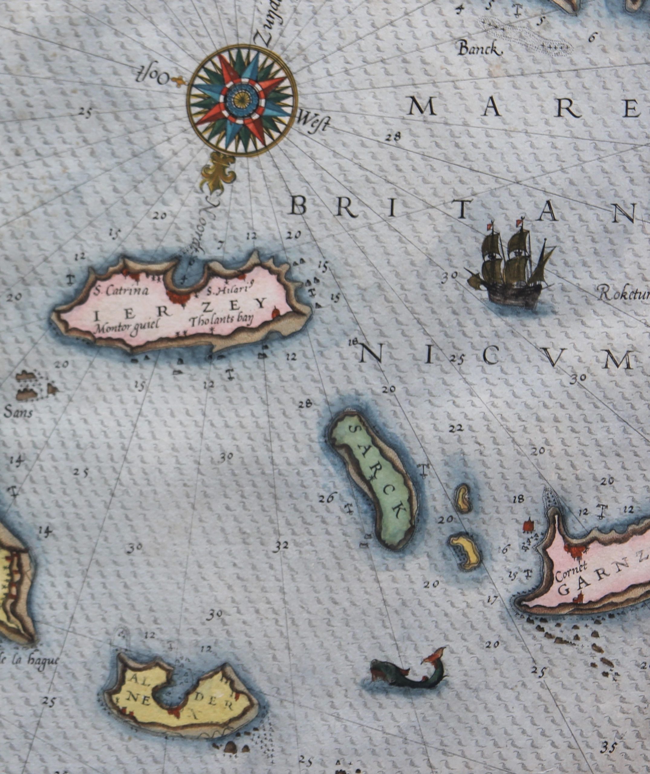
The Channel Islands are prominent. They were part of the Duchy of Normandy since 933; but after the conquest of England by Duke William II (“the Conqueror”) they became “British” in 1066. Constitutionally they do not belong to the United Kingdom, but they are (like the Isle of Man) autonomous assets of the British Crown (crown dependencies). The locals therefore say: “We don’t belong to England. England belongs to us!” The Queen of England is thus head of state in her capacity as Duchess of Normandy. The islands are therefore not members of the Commonwealth of Nations and the European Union. Traditionally, 8 inhabited islands and 6 rock formations are distinguished. The first group includes the islands of Ierzey, Sarck, Garnzey and Aldernex named here; to the second group the indicated Barroch (Burhou) and Qausquettes (Casquets). The last foreign occupation of the islands took place during WWII, but from a military standpoint they were of no importance.
Full title: Caerte vanden zee Custen, eennsdeels Normandien en Brittangen, met de Eijlanden daer ontrent ghelegen
