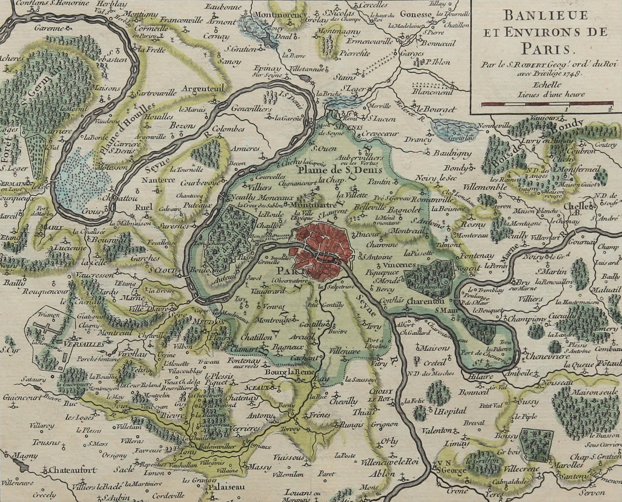
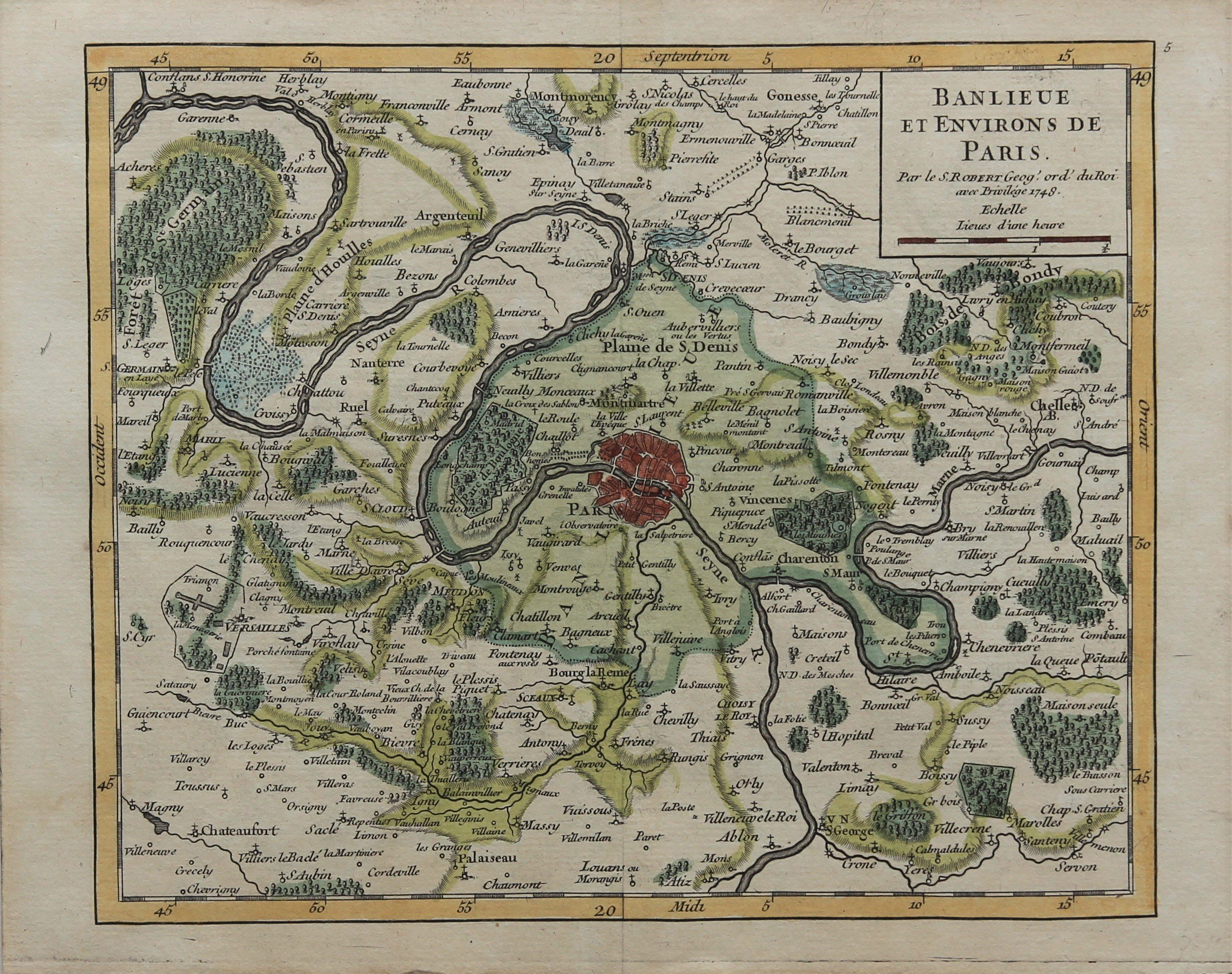
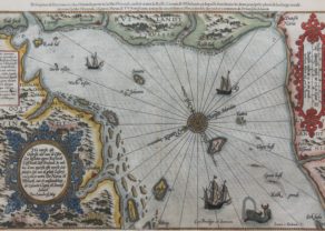
Paris (banlieue et environs)
by
Gilles Robert de Vaugondy
Discover rural Paris anno 1748
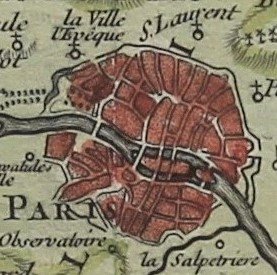
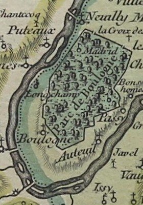
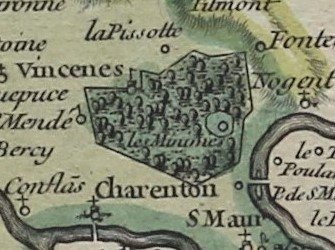
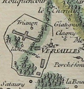
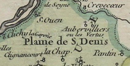
Detail
Date of first edition: 1748
Date of this map: 1748
Dimensions of the map (not including margins): 16,5 x 20 cm
Dimensions (including margins): 19,3 x 23,6 cm
Condition: Excellent. Sharp copper print on hard paper. Centre fold as published. Wide margins.
Condition rating: A+
Verso: blank
From: Atlas Portatif Universel
Price (without VAT, possibly to be added): €150,00 (FYI +/- $166,50 / £133,50)
Unless otherwise specifically stated on this map page, we charge the following expedition costs in euro (unfortunatelly, gone up with Covid, but still too low in reality!):
– Benelux: 40 euro
– Rest of Europe: 60 euro
– Rest of the World: 100 euro
In stock
