Upper Danube and Upper Rhine – Suevia et Bavaria XI Nova Tabula
by
Sebastian Münster
Detail
Date of first edition: 1540
Date of this map: 1540
Dimensions (not including margins): 26 x 34,5 cm
Condition: Very good. Strong paper and wide margins
Condition rating: A
Map reference: Karrow 58/11
From: Geographia Universalis vetus et nova, Basel, H. Petri, 1540
Unless otherwise specifically stated on this map page, we charge the following expedition costs in euro (unfortunatelly, gone up with Covid, but still too low in reality!):
– Benelux: 40 euro
– Rest of Europe: 60 euro
– Rest of the World: 100 euro
This item is sold
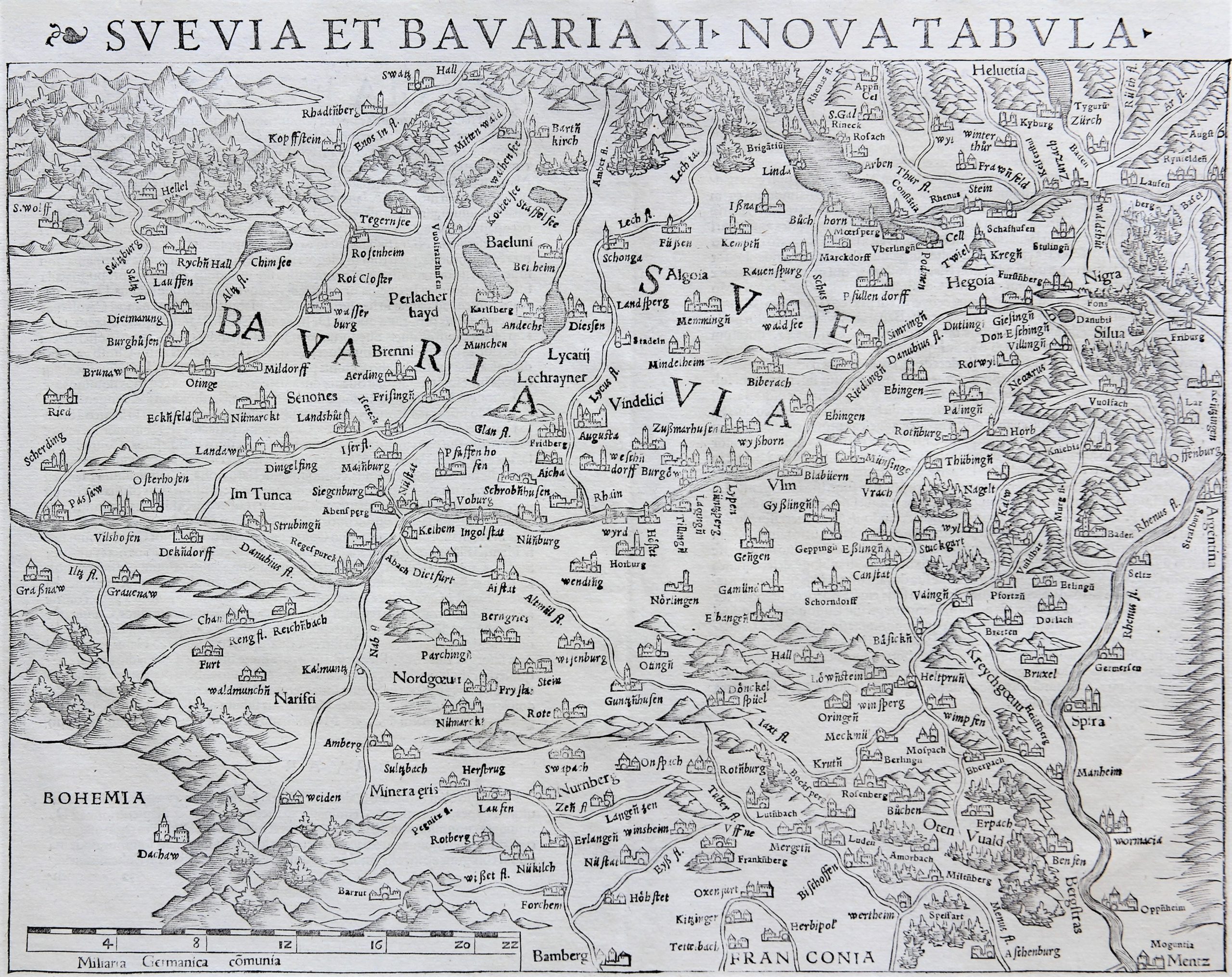
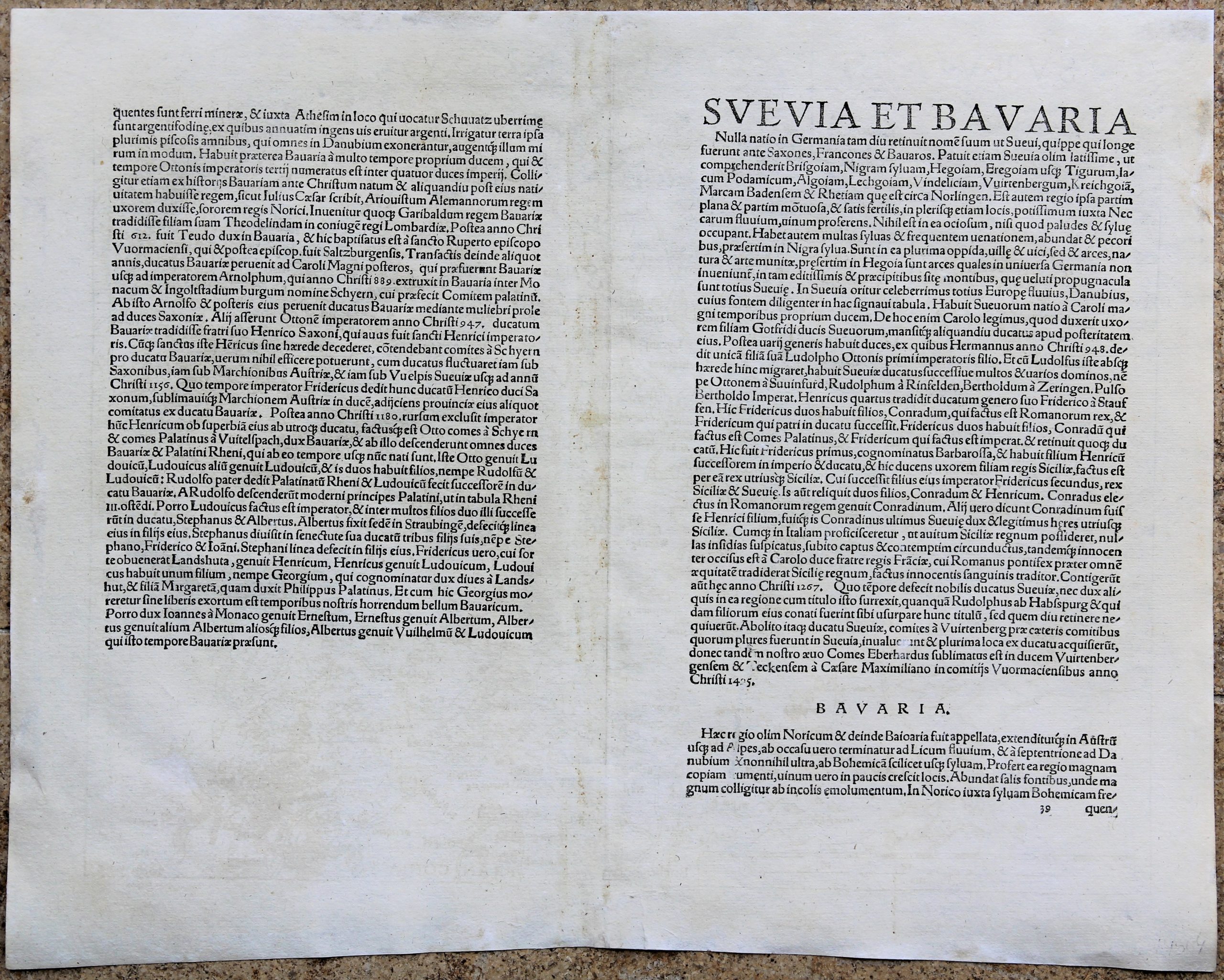
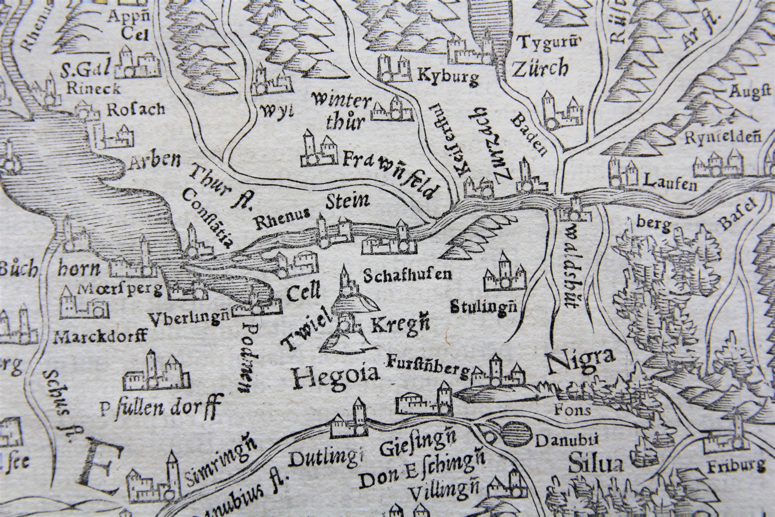
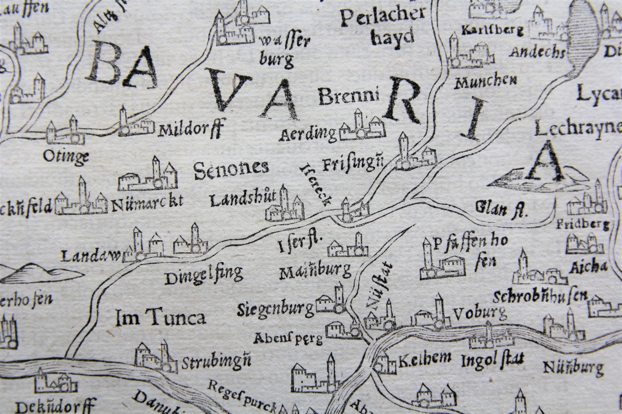


One of the earliest modern maps of this region:
Münster’s map of the Upper Danube and part of the Upper Rhine River regions: Bavaria and Swabia.
Oriented with South at the top, the map extends from the source of the Danube through Ulm, Ingolstad, Regensberg and Passau on the Danube, through the center of the map. Also St. Galen and Saltzburg.
In the East, are Zürich and along the Rhine Basel, Friburg, Argentina (Straatsburg), Spier and Mannheim.
In the north (bottom of the map) is Bamburg.
The map shows a significant portion of the Bavarian, Austrian and Swiss Alps.