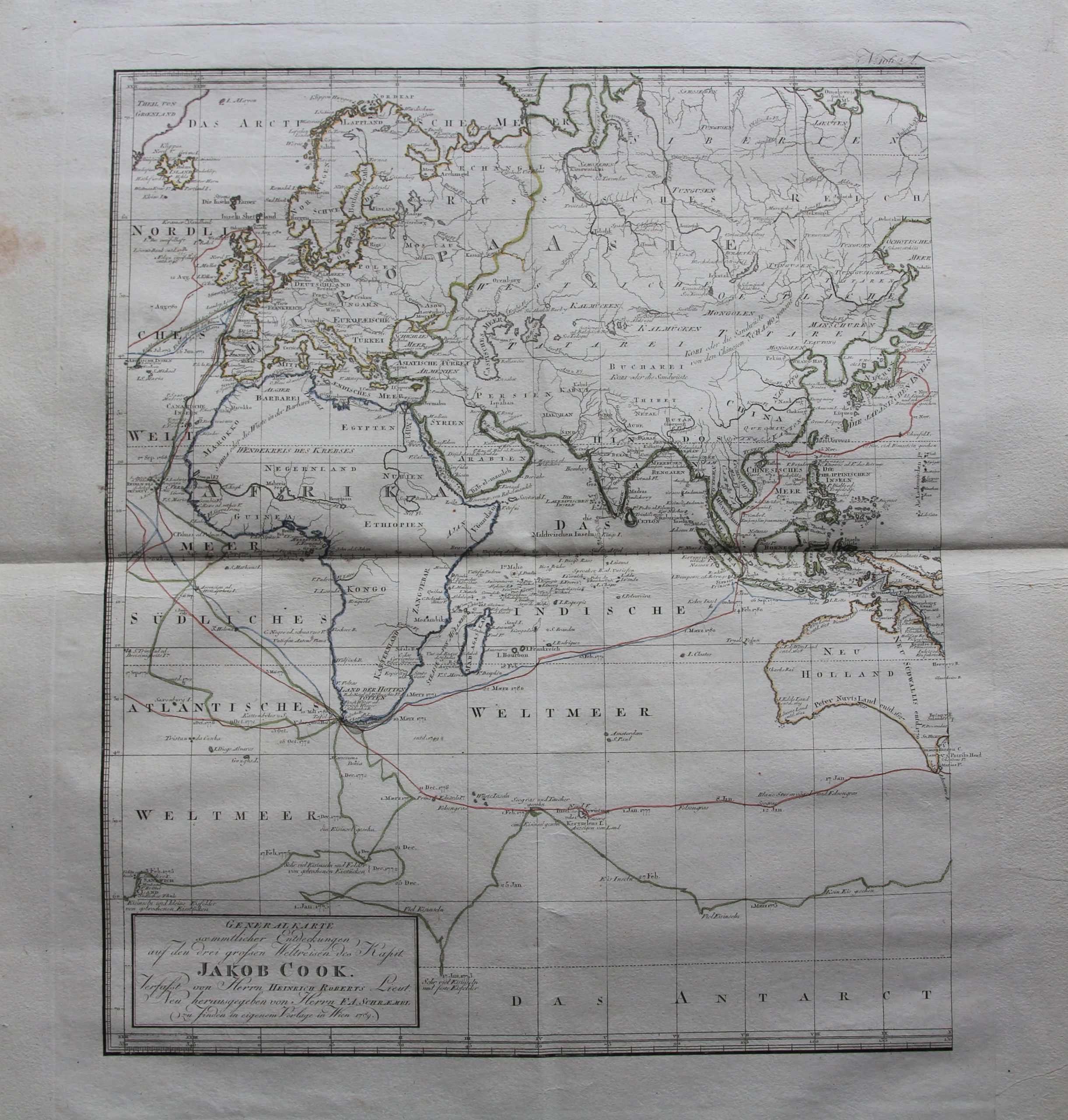
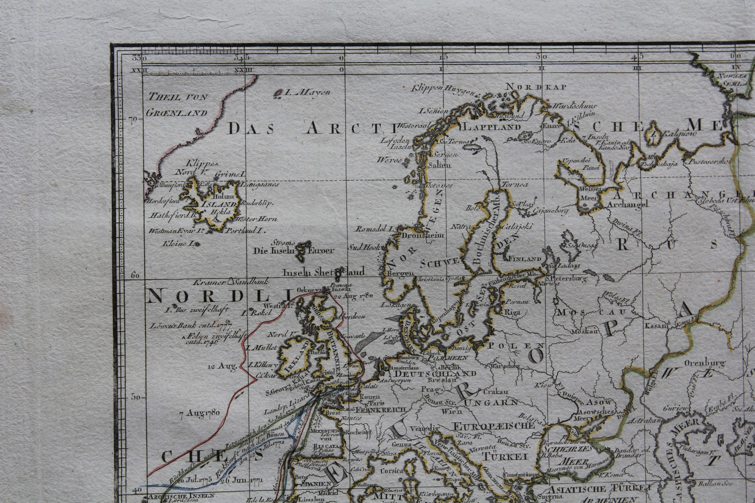
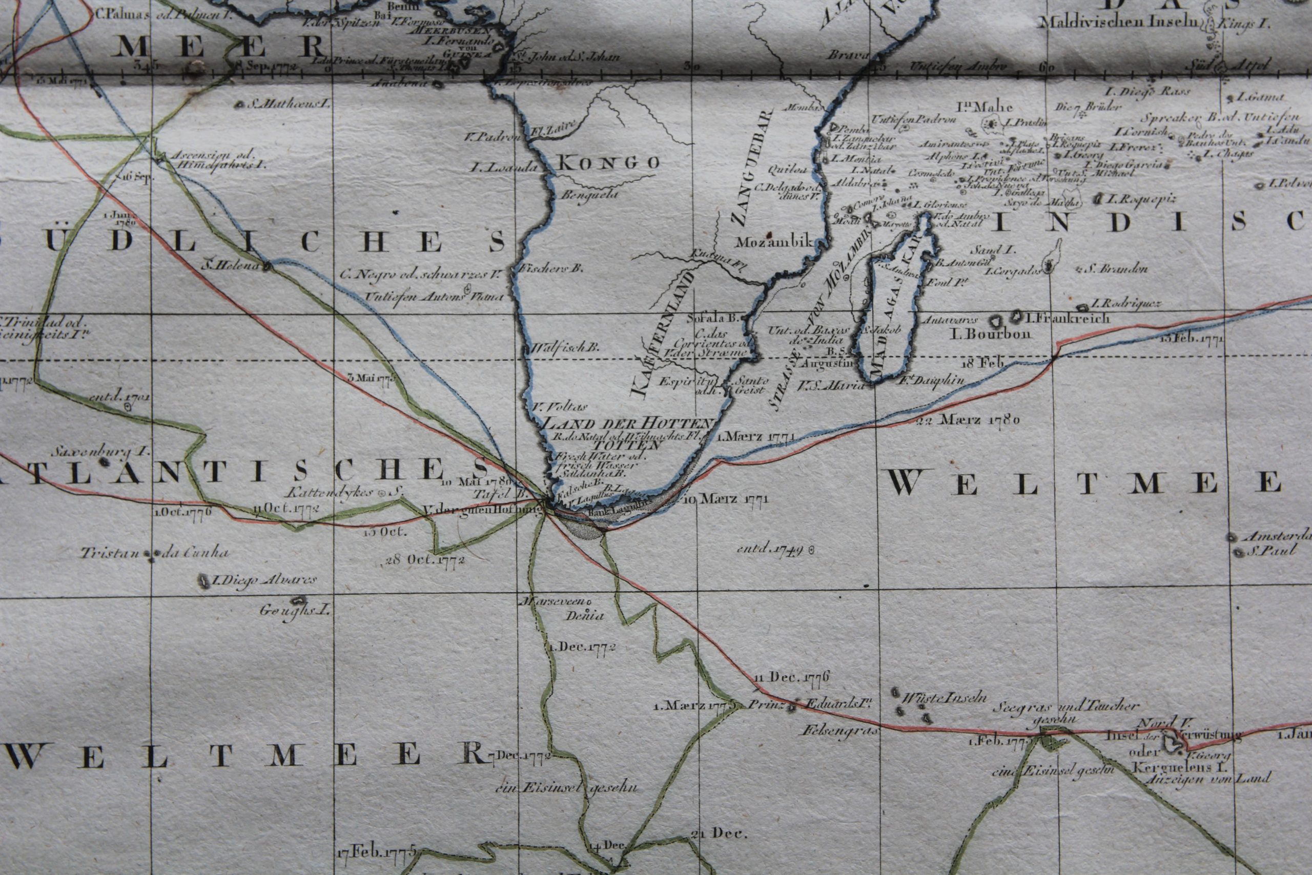
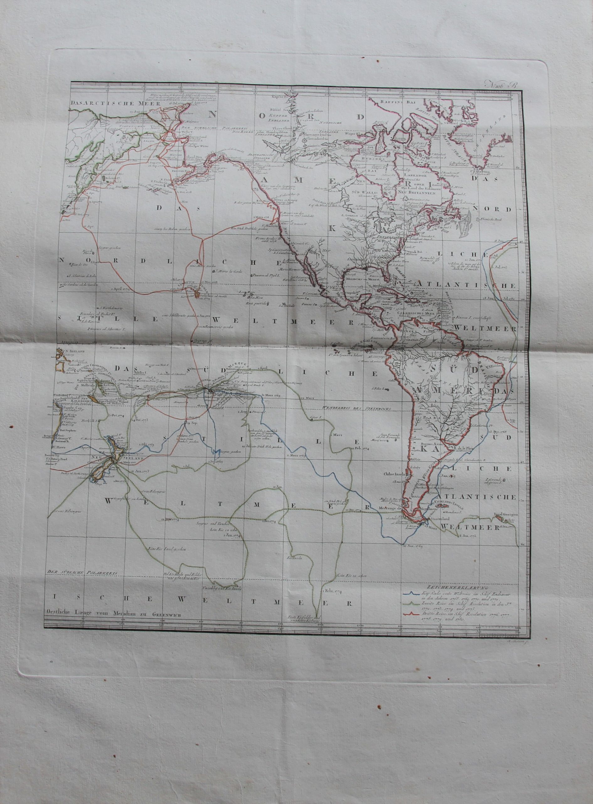
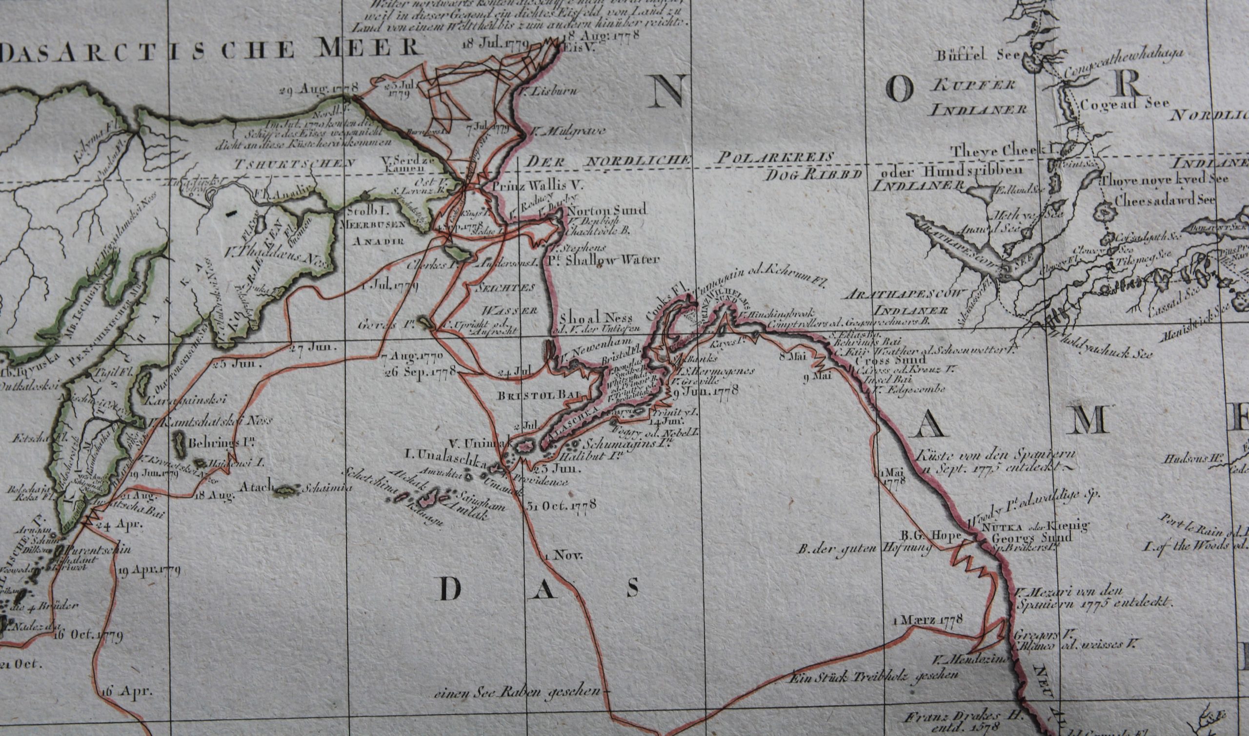
Travels and Discoveries by James Cook (2 large sheets)
Very rare and very unusual
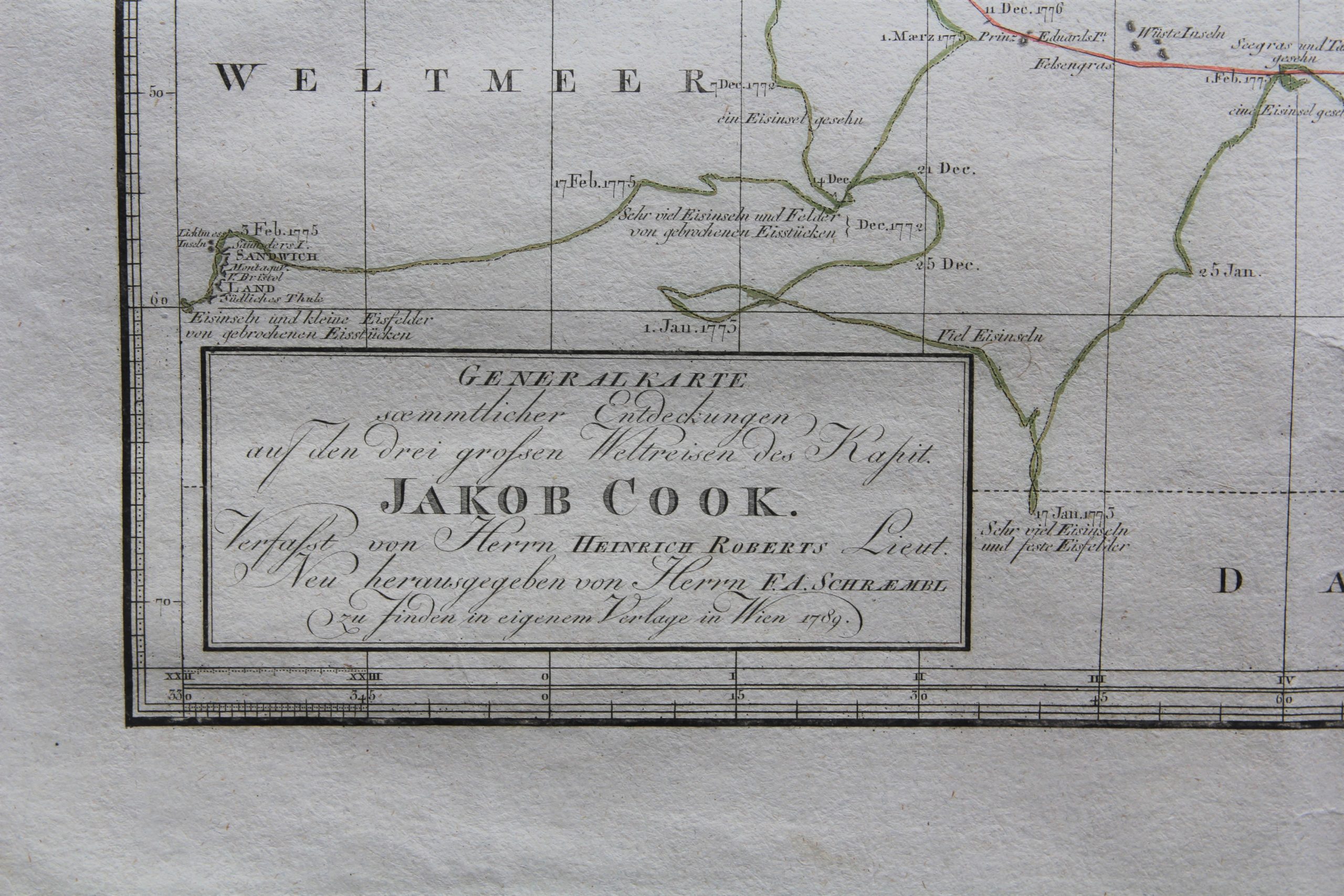
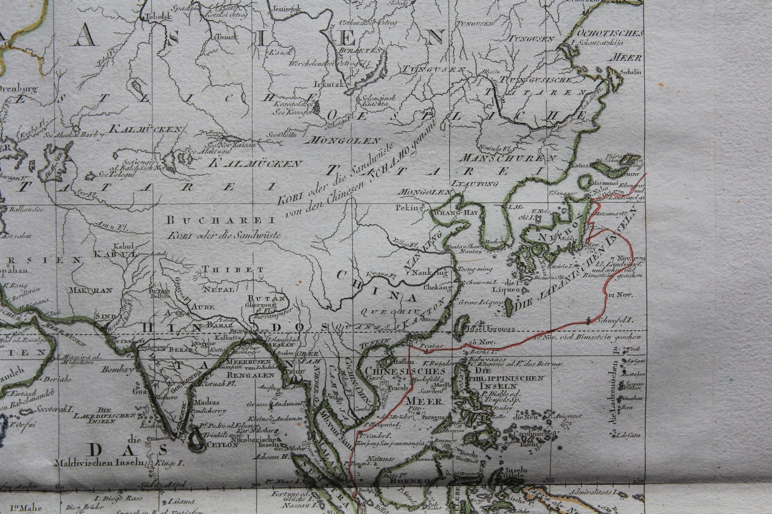
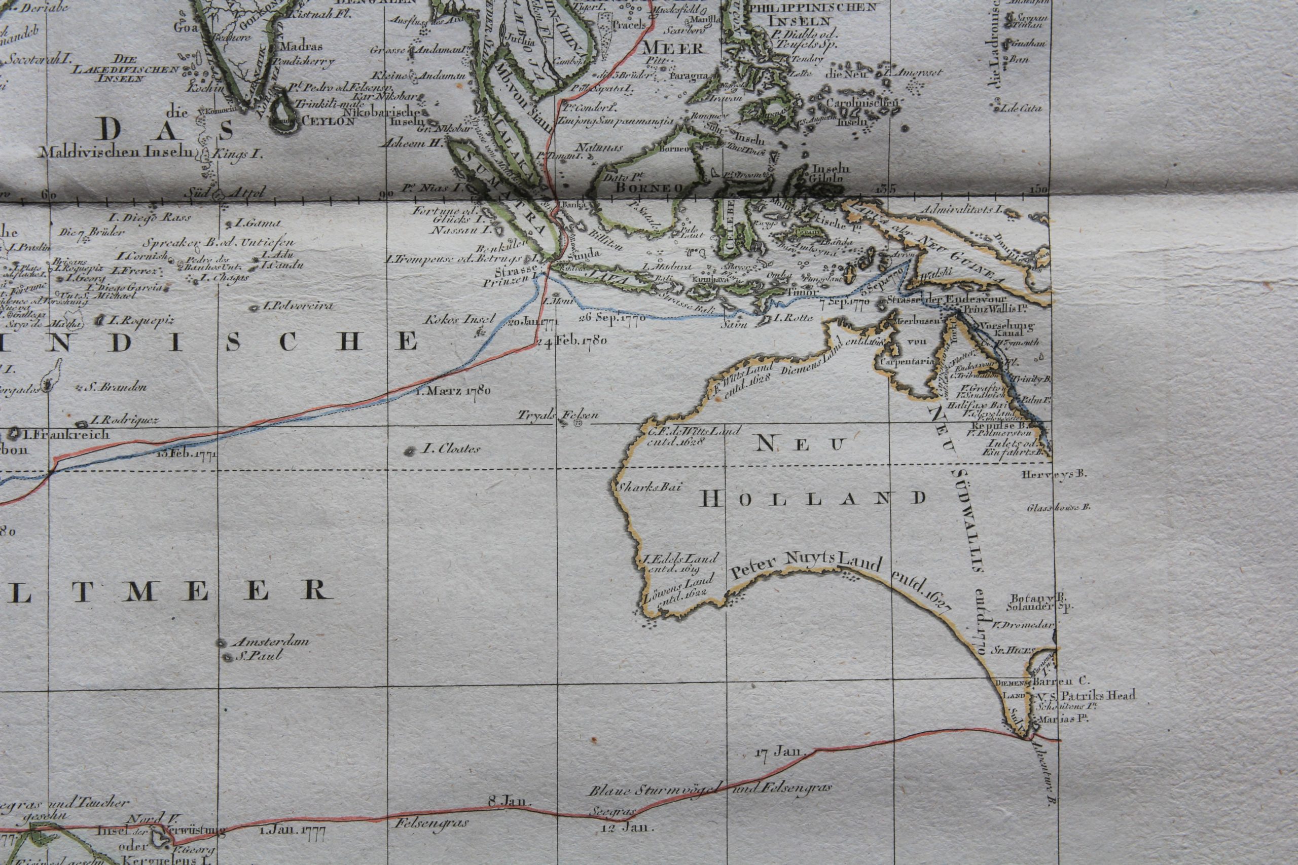
Detail
Eastern Hemisphere
First seven photos:
Date of these map: 1789
Dimensions (without margins on copper plate and on paper): 45,5 x 52,5 cm
Dimensions (including all margins): 59,3 x 83,5 cm
Condition: Very good. Copper engraving on strong paper. Horizontal centre fold as published. Small repair on far left margin. Wide margins.
Condition rating: A
Verso: blank
Western Hemisphere
Next seven photos:
Date of these map: 1789
Dimensions (without margins): 49 x 58 cm
Dimensions (including margins): 53 x 62 cm
Condition: Very good. Copper engraving on strong paper. Horizontal centre fold as published. Wide margins.
Condition rating: A
Verso: blank
In stock
James Cook
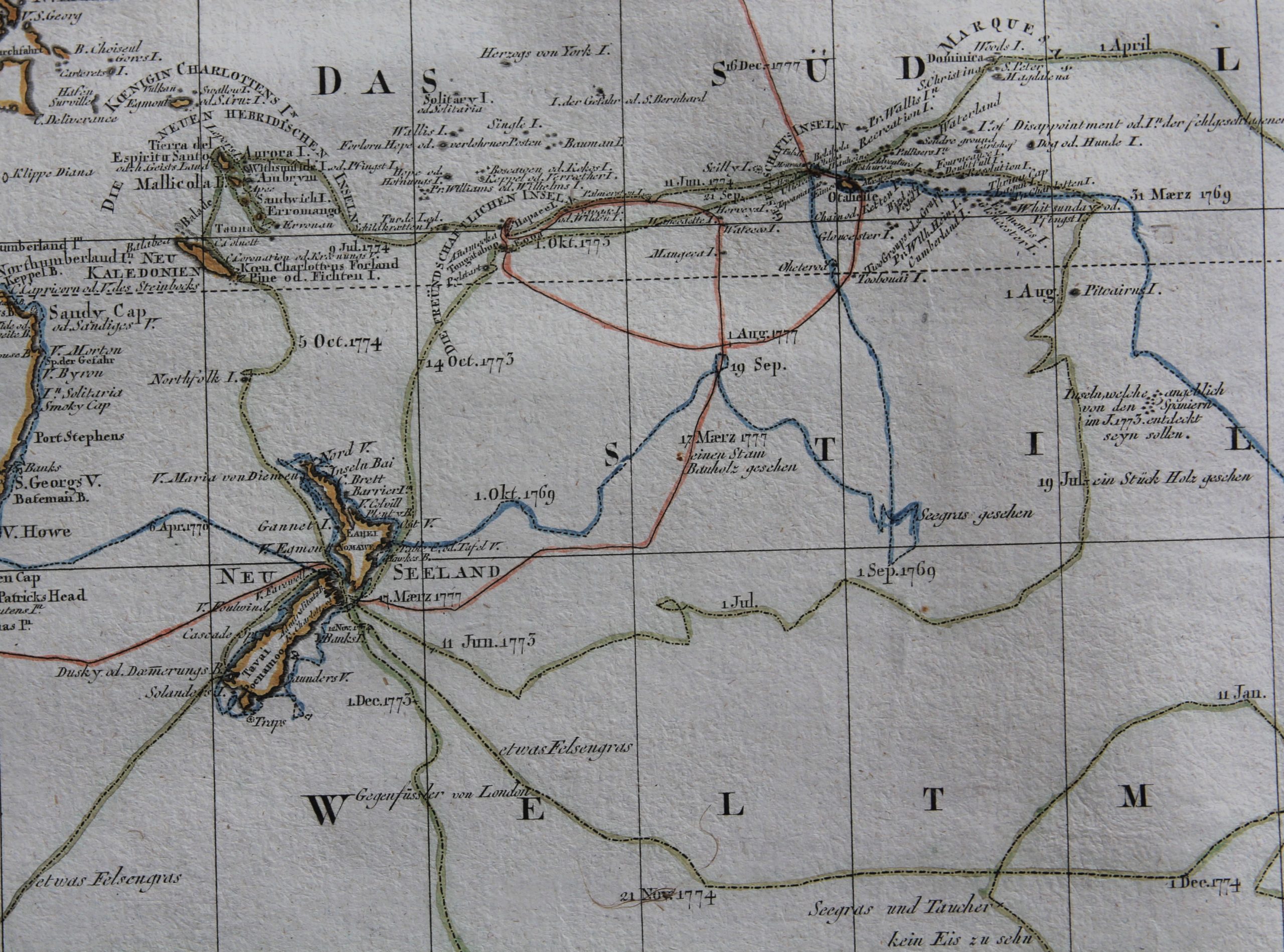
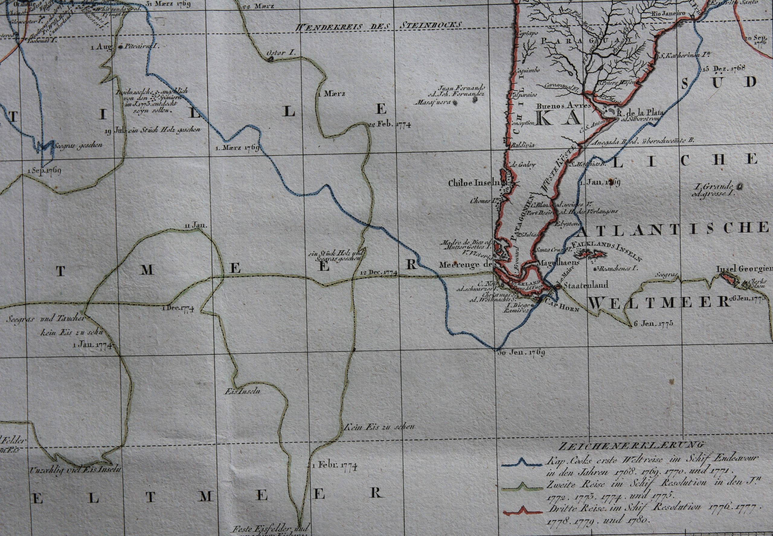
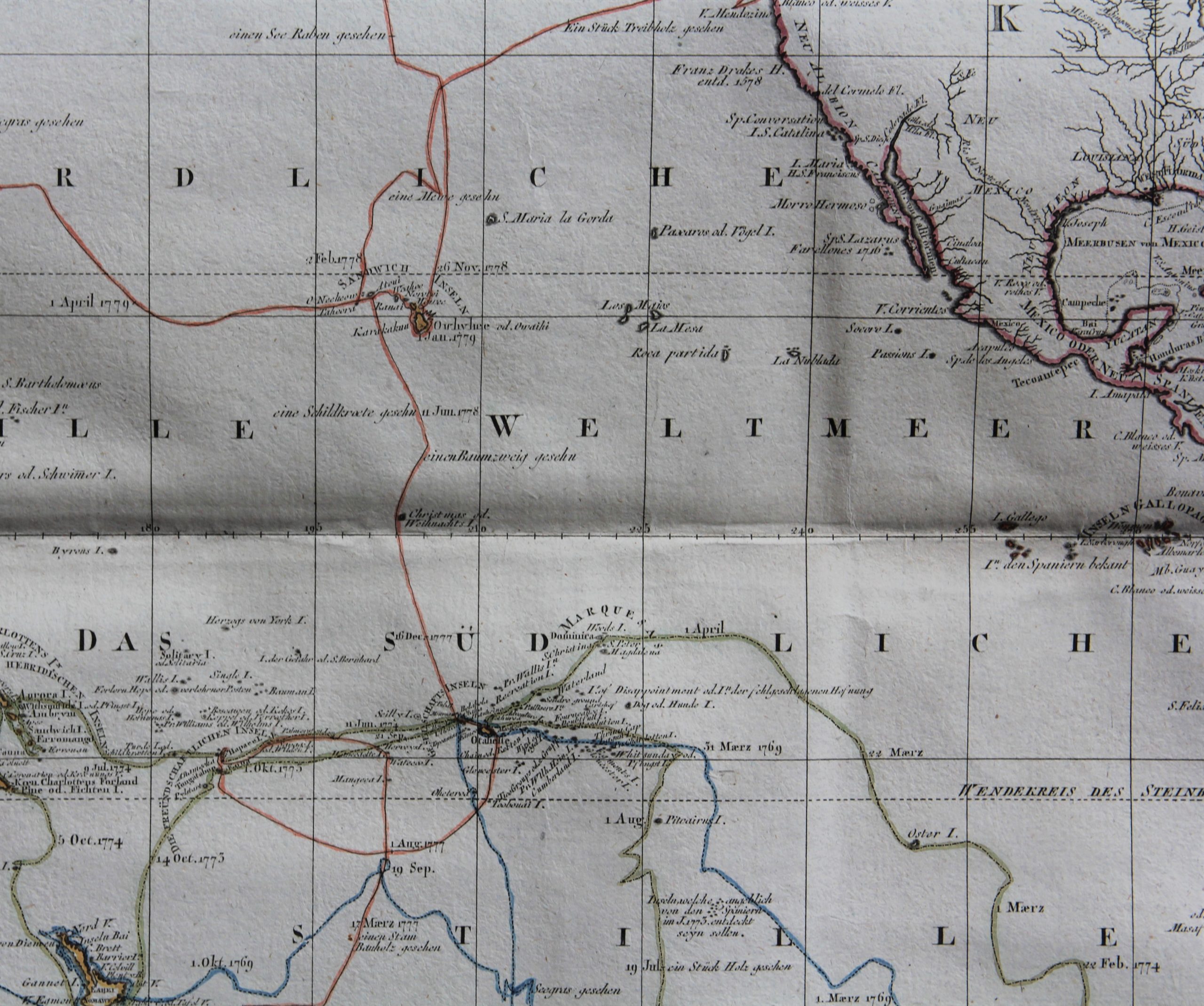
On his three voyages, Cook sailed thousands of miles across largely uncharted areas of the globe. He mapped lands from New Zealand to Hawaii in the Pacific Ocean in greater detail and on a scale not previously charted by Western explorers. He surveyed and named features, and recorded islands and coastlines on European maps for the first time. He displayed a combination of seamanship, superior surveying and cartographic skills, physical courage, and an ability to lead men in adverse conditions.
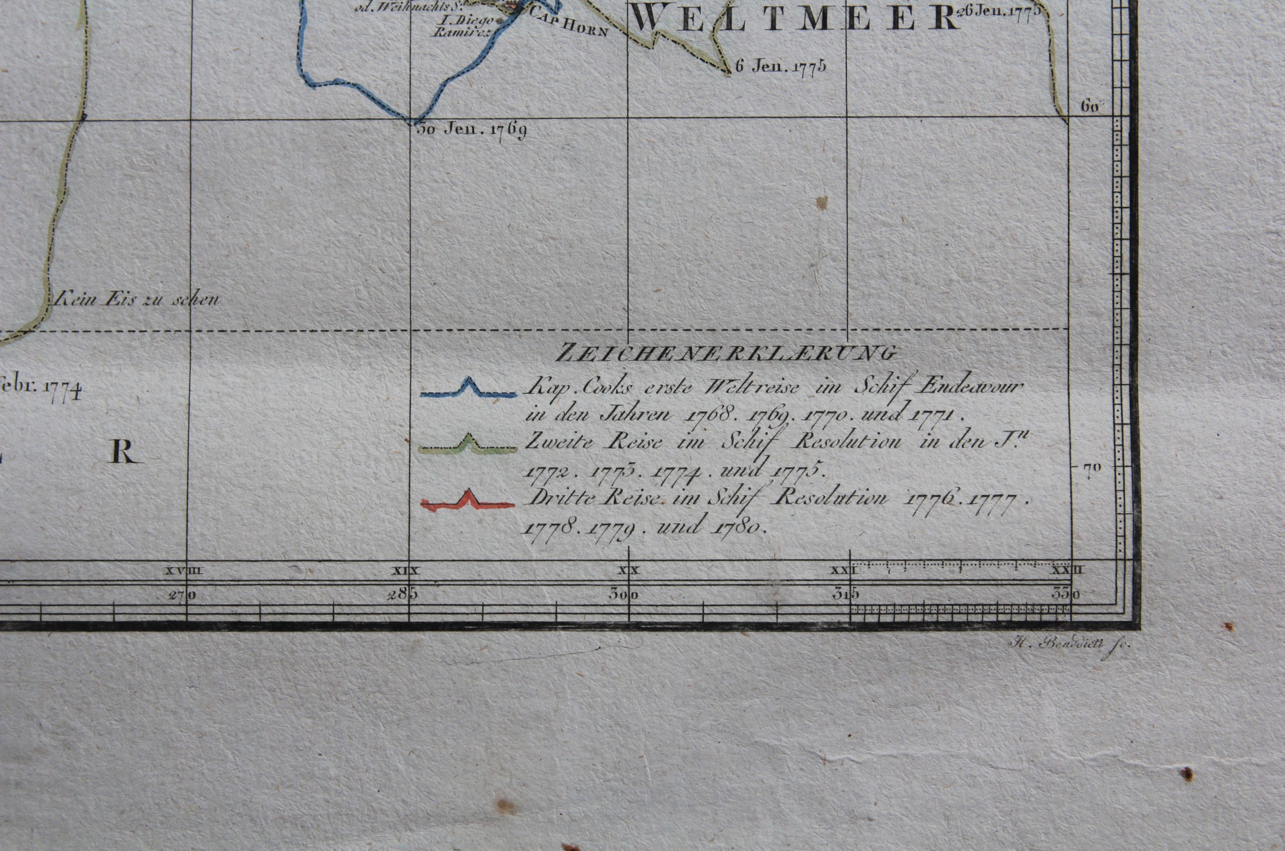
First voyage: 1768 – 1771, see blue lines
Second voyage: 1772 – 1775, see green lines
Third voyage: 1776 – 1779, see red lines
Scraembl’s map dates 1789 and is called “Generalkarte saemmtlicher Entdeckungen auf den drei grossen Weltreisen des Kapit. Jakob Cook. Verfasst von Herrn Heinrich Roberts Lieut”
