


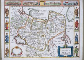
Asia Nova Descriptio
Detail
Date of first map: 1572 (second state)
Date of this map: 1598
Dimensions (without margins): 41,5 x 52,5 cm
Condition: Excellent. Sharp copper engraving. Centre fold as published, flattened. Very wide margins.Old coloured. Watermark with two crossed arrows in the paper.
Condition rating: A+
Verso: text in Dutch
Map reference: van der Krogt 8000:31B; van den Broecke 7
From: Theatrum Orbis Terrarum; van der Krogt 31:121
This item is sold
Asia Nova Descriptio
Ortelius’ fine map of Asia well represents the continent at a time when Europeans were expanding their power in the far east.
Showing all of Asia, India, Indonesia, the Philippines. Title in a fine roll cartouche at bottom left.
The Indian subcontinent and Malaysian peninsula are easily recognizable. Ceylon and Sumatra are correctly placed. The Philippines are distorted and Japan is too far north and incorrectly orientated, with the embryonic outline of the three main islands and with the Ryukus and Taiwan appearing as a tail of islands to the south of the archipelago.
Related items
You may also be interested in:

Asia Secunda pars Terrae in Forma Pegasi

Veere – Vere

Map of the Moon – Tabula Selenographica in qua Lunarium
The unique and famous first comparative chart of the Moon (with double competing nomenclature) from which the names of many lunar features have been derived.
