


Merioneth and Montgomery counties
Detail
Date of first edition: 1647-
Date of this edition: 1647
Dimensions (not including margins): 38 x 49,8 cm
Dimensions (including margins): 48 x 57,5 cm
Condition: Very good. printers crease along a ‘proud’ centrefold, with small tears along centre fold. Small hole top margin. With good wide margins, nice dark impression. Sober original colouring.
Condition rating: A
References: Van der Krogt I, 5545:1.2
From: Van der Krogt I:403, vol 4, map 38
In stock
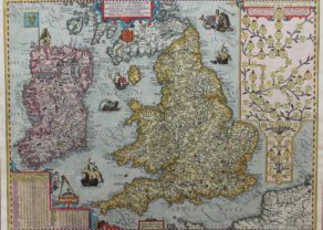
Welsh counties of Merioneth and Montgomery
A decorative Welsh counties map by Jan Jansson, published in Amsterdam during the first half of the seventeenth century. It shows the mid-western Welsh counties of Merionethshire and Montgomeryshire, decorated with a delightfully rustic title cartouche, a compass rose, three separate coats of arms, decorative script and mileage scales.
Major towns shown are: Harlech, Montgomery, Bala, Newtown and Welshpool.
Related items
You may also be interested in:

Achaia, Attica and Gulf of Corinth

Portrait Abraham Ortelius, by Galle

Algiers – Algerii Saracenaorum Urbis Fortissimae…

Avignon
Papal city²