Florence – Die Stadt Florenz
by
Sebastian Münster
Detail
Date of first edition: 1550 (German edition 1544)
Date of this map: 1550
Dimensions (not including margins, only the map)): 22,5 x 36 cm
Dimensions (including margins): 31 x 39 cm
Condition: Excellent. Very sharp woodcut. Strong paper and wide margins.
Condition rating: A+
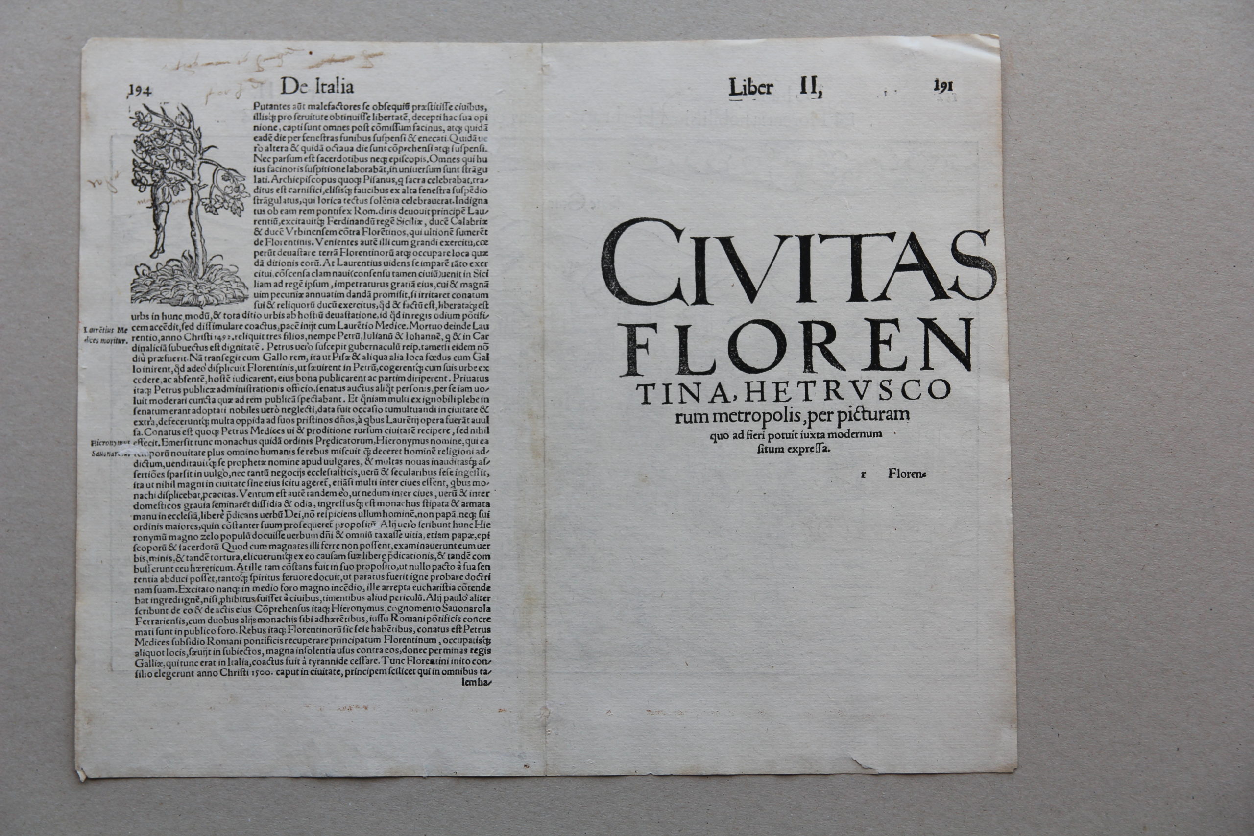
Verso: text in Latin
From: Cosmographiae universalis Lib. VI. . . . Basle, 1550.
Price (without VAT, possibly to be added): €1 000,00 (FYI +/- $1 110,00 / £890,00)
Unless otherwise specifically stated on this map page, we charge the following expedition costs in euro (unfortunatelly, gone up with Covid, but still too low in reality!):
– Benelux: 40 euro
– Rest of Europe: 60 euro
– Rest of the World: 100 euro
In stock
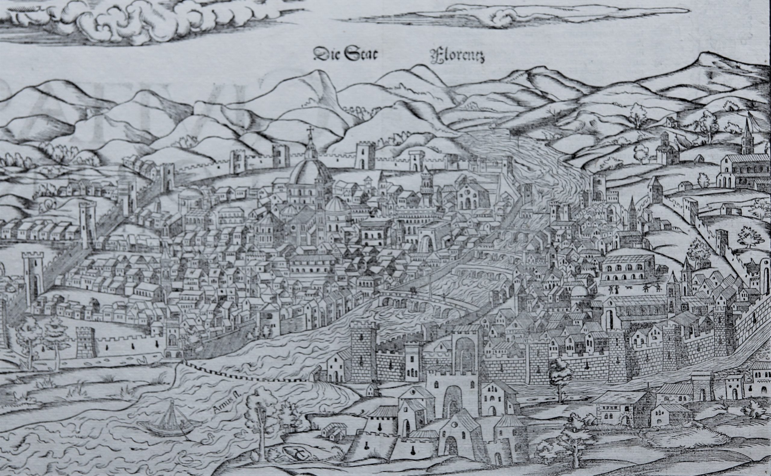
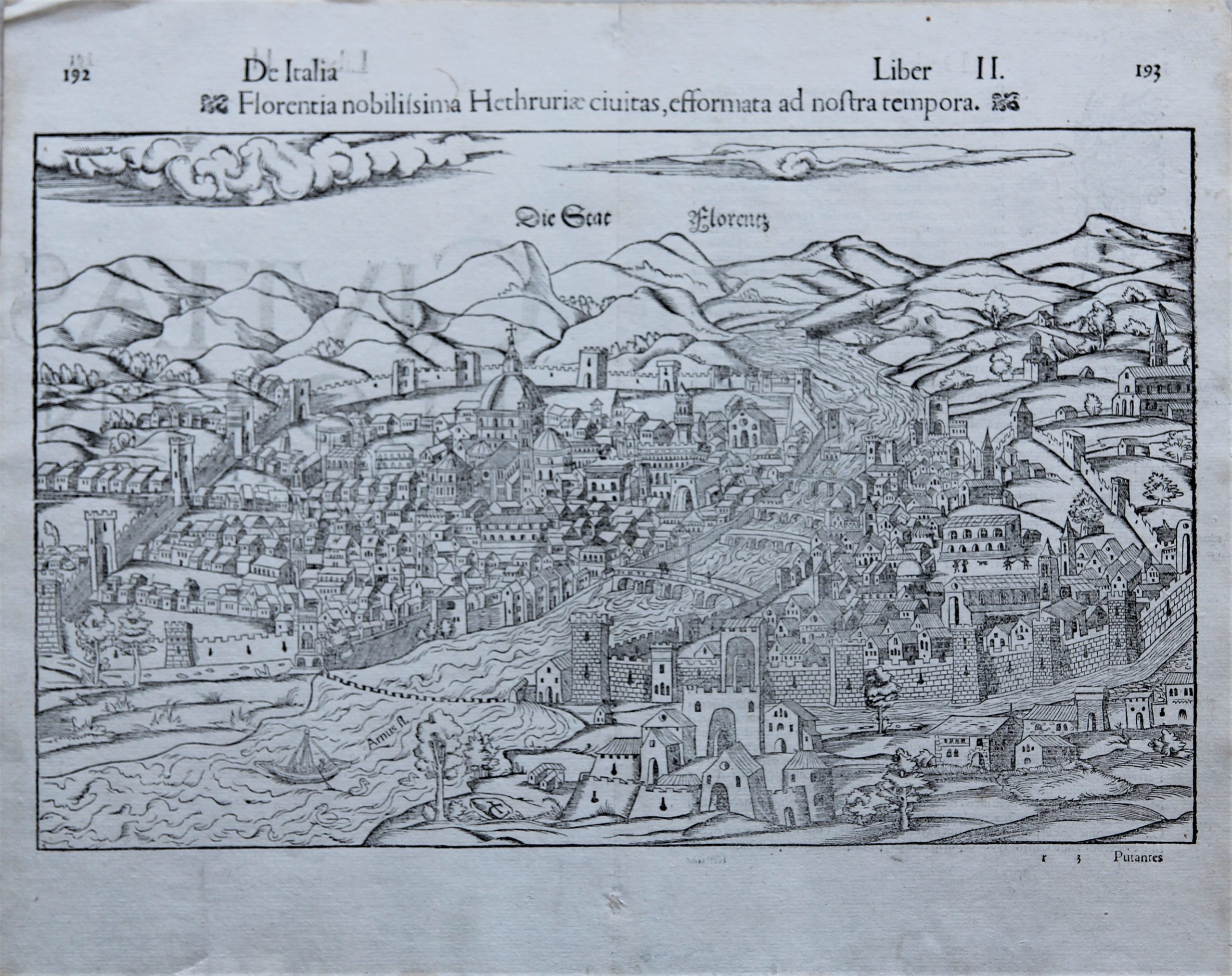


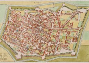
Florence: no changes in 450 years!
This is a somewhat primitive woodcut is from the German edition of münster’s Cosmografia, Italia, Liber II, 1550. The Basilica di Santa Maria del Fiore (the Duomo), the baptistery of San Giovanni, and the Campanile are all clearly visible in the central part of the view. The Arno river cuts the city in two parts.
After a short but dark leadership under, successively, Savonarola, and Machiavelli, the political dynasty of the Medici family was restored as a metropolitan ducal family in 1537. The political and cultural apogee of the city, however, was already gone.
Titl: De ItaliaLiber II – Florentia Nobilissima Hethruriae Civitas, Deformata ad nostra Tempora
Sebastian Münster
Sebastian Münster (1488-1552) was a cosmographer and professor of Hebrew who taught at Tübingen, Heidelberg, and Basel. He settled in the latter in 1529 and died there, of plague, in 1552. Münster made himself the center of a large network of scholars from whom he obtained geographic descriptions, maps, and directions. In 1540, he published Geographia universalis vetus et nova, an updated edition of Ptolemy’s Geographia. In addition to the Ptolemaic maps, Münster added 21 modern maps. One of Münster’s innovations was to include one map for each continent, a concept that would influence Ortelius and other early atlas makers. The Geographia was reprinted in 1542, 1545, and 1552.
He is best known for his Cosmographia universalis, first published in 1544 and released in at least 35 editions by 1628. It was the first German-language description of the world and contained 471 woodcuts and 26 maps over six volumes. Many of the maps were taken from the Geographia and modified over time. The Cosmographia was widely used in the sixteenth and seventeenth centuries. The text, woodcuts, and maps all influenced geographical thought for generations.