


Peru
Detail
Date of first edition: 1630 (Willem Blaeu in Atlantis Appendix)
Date of this map: 1643-1650
Dimensions (without margins): 37,3 x 48,4 cm
Dimensions (including margins): 47,2 x 54,8 cm
Condition: Excellent. Sharp copper engraving. Centre fold as published. Very wide margins. Nice colouring
Condition rating: A+
Verso: text in French
Map reference: van der Krogt, 9820:2.2
From: Théâtre du Monde ou Nouvel Atlas; van der Krogt, 2:212-3
This item is sold
Peru in the 17th century
Blaeu presents a splendid map of Peru in the 17 century. The map appeared for the first time in the Atlantis Appendix of Willem Blaeu in 1630. This copy was published by his son Joan in the French version of the Atlas Novus in 1643-1650.
One easily recognizes Lake Titicaca and the coastal town of “Los Reyes” (best to see on third detail). Lima was founded on 18 January 1535 by Pizarro as Ciudad los Reyes . Even before the Inca living here in the 15th century, a famous oracle in the Rímac valley had come to be known as Lima.
On the fourth and last detail Ecaudor with cities Quito and Guayaquil is shown.
Related items
-
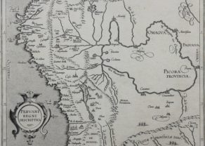
Peru – Peruani Regni descriptio
by Cornelius van WytflietPrice (without VAT, possibly to be added): €600,00 / $666,00 / £534,00 -
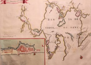
Bay of All Saints – Bahia de Todos los Sanctos
by Joan BlaeuPrice (without VAT, possibly to be added): €625,00 / $693,75 / £556,25A magnificent chart of Todos os Santos Bay in Brazil, with a detailed inset plan of Salvador and a scroll title cartouche.
-

Cuzco (Inca capital)
by Giovanni Battista RamusioPrice (without VAT, possibly to be added): €850,00 / $943,50 / £756,50Rare first edition (block destroyed by fire)
You may also be interested in:

Portrait Abraham Ortelius, by Galle

Bristol – Brightstowe, Vulgo; Quondam Venta, Florentissimum

Jan Mayen – Insulae Johannis Mayen Cum universe situ Sinuum et Promontariorum
Rare Spanish edition

Scotland – Nova Scotia
A nice map of Scotland