Brussels, 1593
An invitation to actively discover the city’s jewels
Detail
Date of first edition: 1572
Date of this map: 1593
Dimensions (not including margins): 33 x 47 cm
Condition: Excellent. Centre fold as published. Old colour. Strong print and clear image. Still in passe-partout.
Condition rating: A+
Map reference: Van der Krogt IV,2-1, 670.2, page 791; Taschen, Braun and Hogenberg, p.72.
From: Civitates Orbis Terrarum, Liber Primus.
Atlas reference: Van der Krogt, IV, 2-2, 41:1, 14, page 79: last line ‘do … represserit’
In stock
Brussels commented by Braun (on verso):
“Brussels, the noblest city in all Brabant, was chosen by the kings as their seat because it has springs that always flow, uplifting hills and healthy air and is very splendid to behold. […] The royal palace, which lies on a hill with a chapel, was built by Emperor Charles V and is no small embellishment for the city, because there the lords of the Golden Fleece and the councillors meet for joint deliberations with the Governor. […] A waterway was dug from Brussels in a miraculous manner, at great expense and with a great deal of work, for the benefit of locals and strangers. […] The canal is over five German miles long. It was begun in 1550 and completed in 1561 to the great admiration of all.”
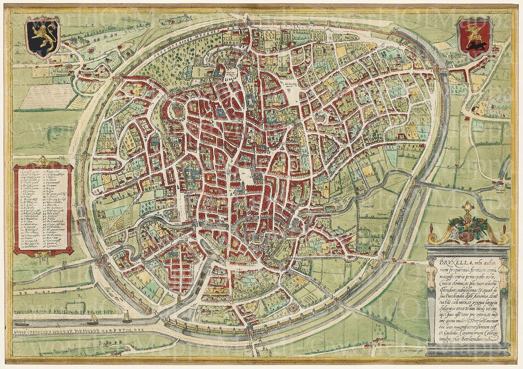
TRANSLATION OF CARTOUCHE TEXT: Brussels is a very well-known city due to its large number of courtiers, its copious springs, the magnificence of its princely court and its town hall and many other things. And as Ausonius says of his Burdegala: rich with a mild climate and well-irrigated soil. The inhabitants, particularly the women, display their riches through their dress. The most magnificent church is St Gudula’s, still distinguished by its college of canons (according to Ha. Barlandus).
This plan view from a bird’s-eye perspective shows an idealized, almost circular view of the city. The picture is dominated on the one hand by the wide streets and the city wall ringed by a moat, and on the other by the navigable River Senne, which enabled ships to dock inside the city using the canal network. Brussels received its charter in 1312 and as early as 1357 built an extensive city wall, enclosing fields and tracts of land within it. When the Dukes of Brabant chose Brussels as their seat of government in 1383, the population had apparently already reached 50,000. At the start of the 15th century the dukes constructed their palace (17). Brussels experienced its greatest flowering from 1430 under Philip the Good: the Hôtel de Ville (51) was built on the Grande Place and artists and craftsmen, manuscript illuminators, sculptors and goldsmiths settled in the city. Pieter Breughel the Elder lived and worked here and in 1569 was burried in Notre-Dame-de-la-Chapelle.
The engraving is made after a plan from Guicciardini (1567), some topographical details may derive from a sketch by Jacob van Deventer (c. 1550). (Taschen)
Related items
-
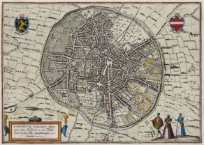
Leuven – Lovanium, Brabanticarum urbium caput…
by Georg Braun and Frans HogenbergPrice (without VAT, possibly to be added): €900,00 / $999,00 / £801,00 -
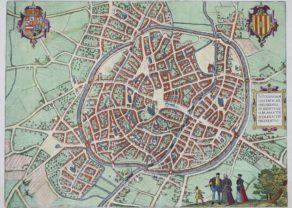
Mechelen – Nitidissimae Civitatis Mechlineensis…
by Georg Braun and Frans HogenbergPrice (without VAT, possibly to be added): €500,00 / $555,00 / £445,00 -
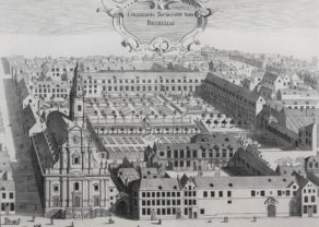
Brussels (Jesuit college)
by Antoon SanderusPrice (without VAT, possibly to be added): €450,00 / $499,50 / £400,50 -
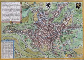
Gent – Gandavum
by Georg Braun and Frans HogenbergRare view of the city without any walls


Brussels revisited
Please join us in this virtual visit…You can simply take this view at hand as a city guide to walk you around the city!
Brussels received its city rights in 1229 and, already in 1383, inhabited about 50.000 people. However, then and in 1572 it was secondary to Antwerp. This view with at North more or less at the bottom left corner left (should almost be turned 180° to the left), was based on the print by Ludovico Guicciardini in 1567, has round medieval walls, built between 1357 and 1379. The topographical details have been derived from a (now lost) manuscript by Jacob van Deventer from the years 1550 (see the recently published study of his Stedenatlas at FB worldofmappamundi, April 14). Top right, one notices, the city coat of arms in which Archangel Michael (one of the patron saints of the city) kills the dragon. On the other side, Hogenberg shows the coat of arms of the duchy of Brabant: a golden lion on a black background. In the bottom left ships proudly navigate on the new Brussels Maritime Canal (built from 1550 to 1561). The Senne, entering the town from the middle right, further squirms in the city. Downtown center the Town Hall (built between 1402 and 1420) on the main square (110 on 68 meters) dominates where the gentlemen such as Lamoral, count of I of Gavere (count of Egmont; historically originating from the North Holland town of Egmont) and Philip de Montmorency (count of Horne, based close to the Meuse river), in were executed on June 5, 1568. The total number of executions at the Brussels Grand Place are estimated to be approximatively 1.000.
[Note: a small deception for the annually thousands of visitors of the Brussels Grand Place: Louis XIV (not WW II) bombed this square to its complete destruction on August 13, 1695. What we witness today is only a marvelous reconstruction of the old renaissance market place…].
Just right above of the Grand Place, the triangular square of the Sablon (Zavelplein) is shown with its Gothic church dating 1304. The Brussels cathedral is situated in a larger green circle top left; Charles V was here declared king of Spain in 1516. Left from the market square lies a long grand square, which does not exist anymore. The prolongation to the top of this square is the Rue du Fossé aux Loups (Wolvengracht). Interestingly, however, is the large convent at its left bottom: the old Augustinian monastery, next to the Senne.This monastery (as completely demolished in several later phases) will be described in a later post. One teaser already: its front is currently the front of the Église de la Sainte-Trinité (at the end of the rue du Bailli, Ixelles (Baljuwstraat, Elsene)).
For the Dutch followers, please read this unbelievable little jewel: Jacobs, R., Een kleine geschiedenis van Brussel, Lannoo, 2004, Tielt, 301 p., ISBN 9789020952698. Unfortunately, now only available on the second hand market.