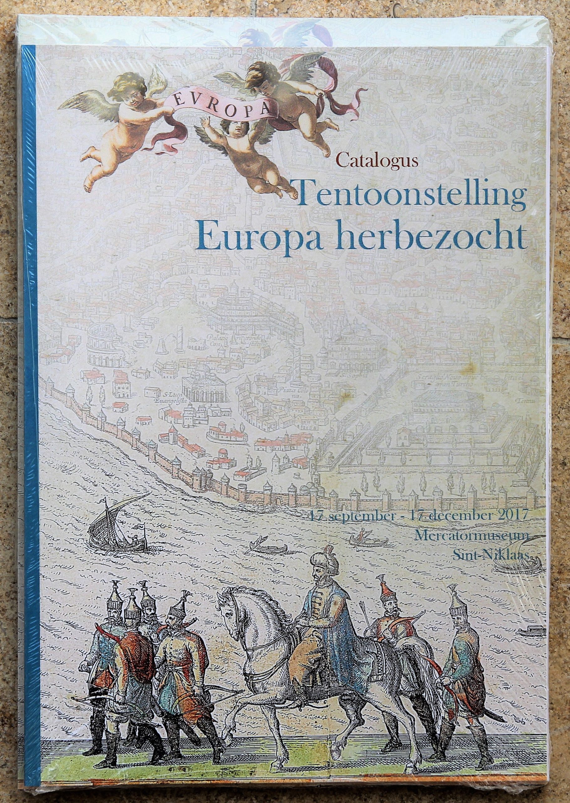
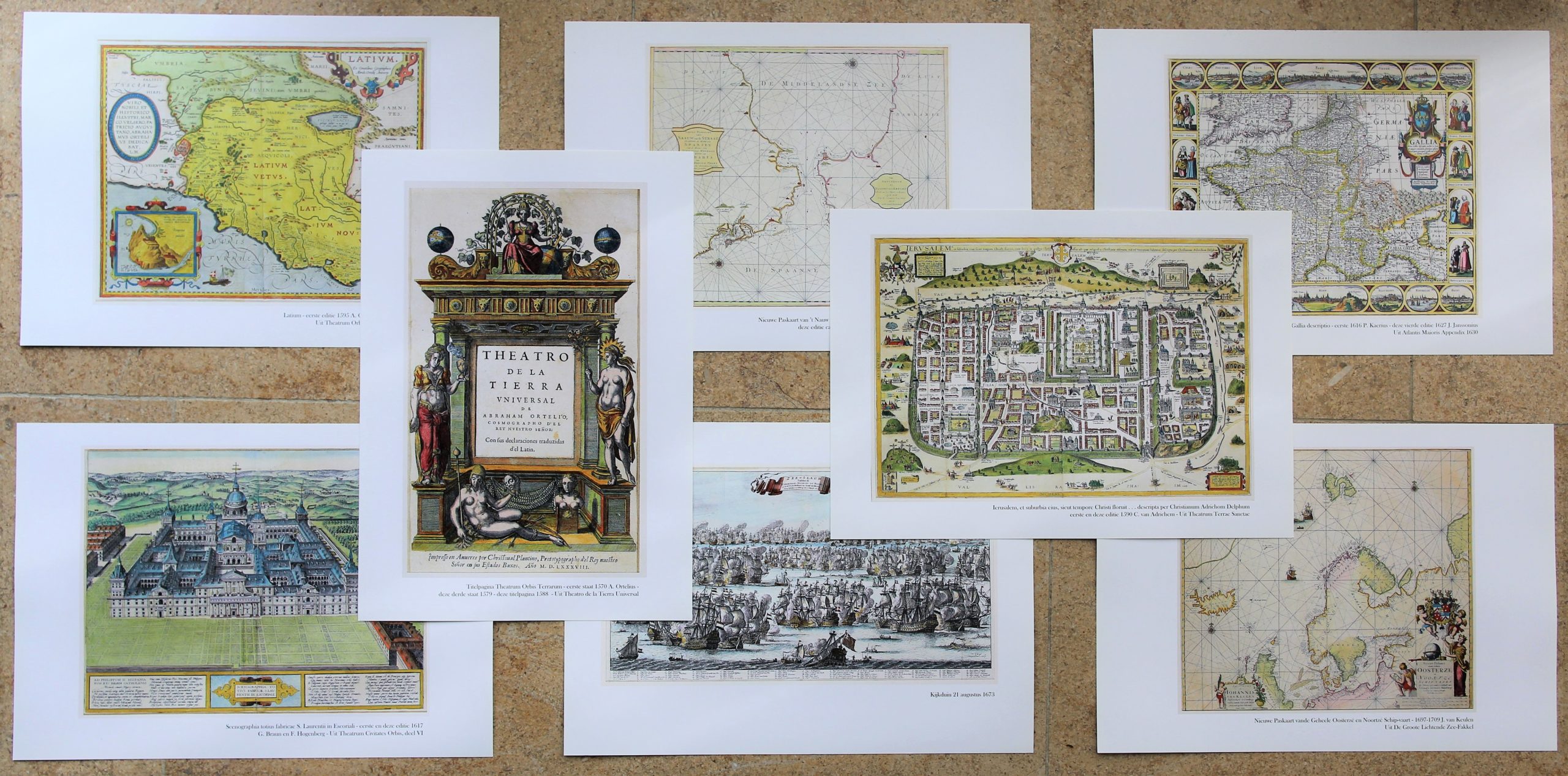
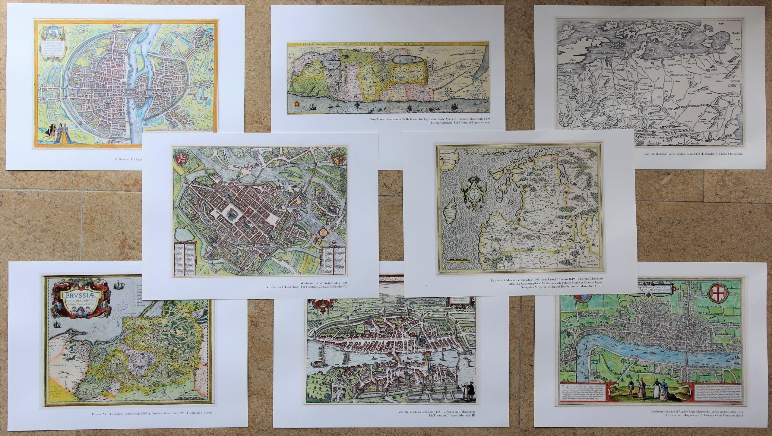
Europa Herbezocht (catalogue with unique folder of 40 reproduction maps)
Detail
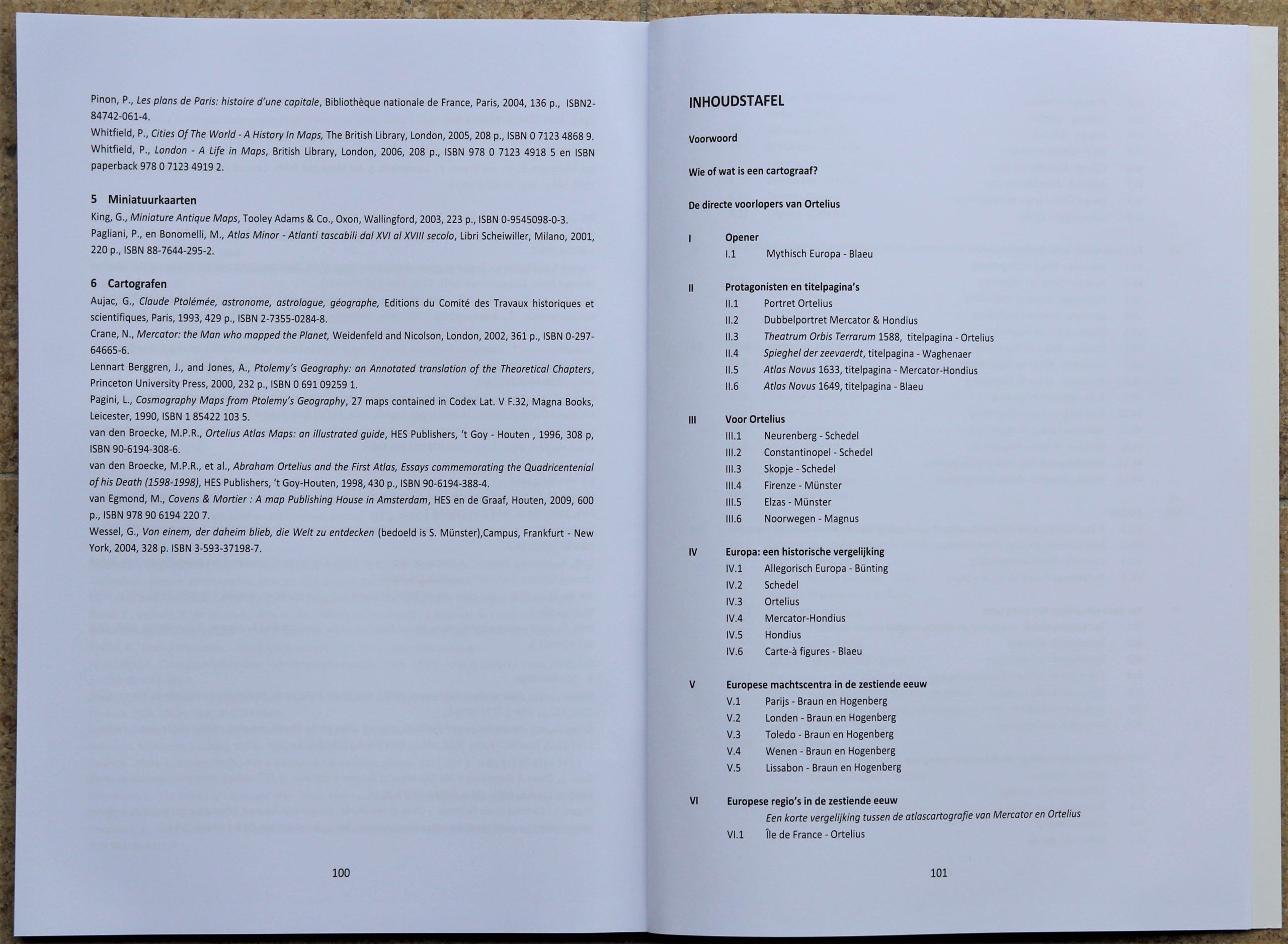
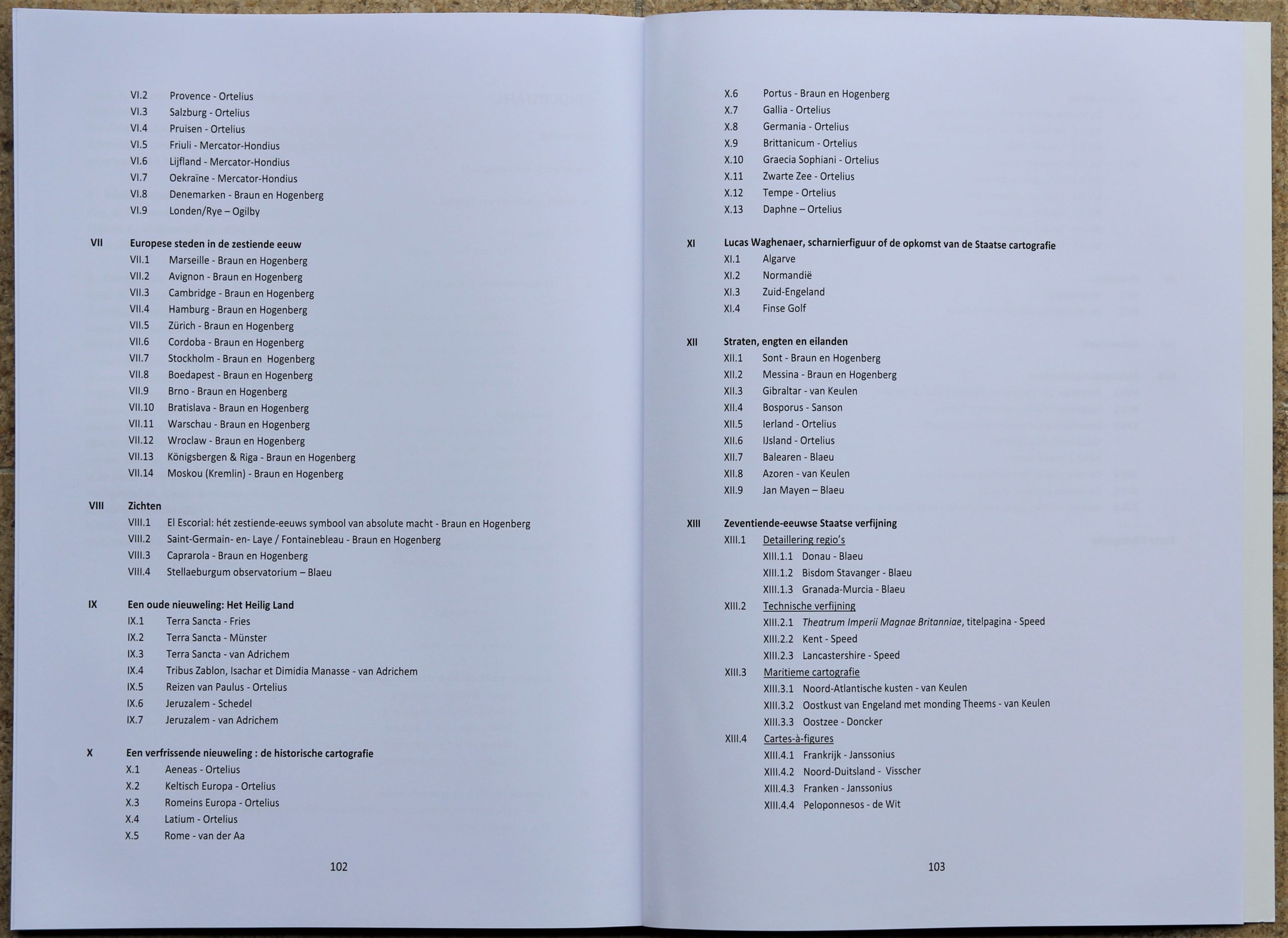
Catalogue: 104 pages
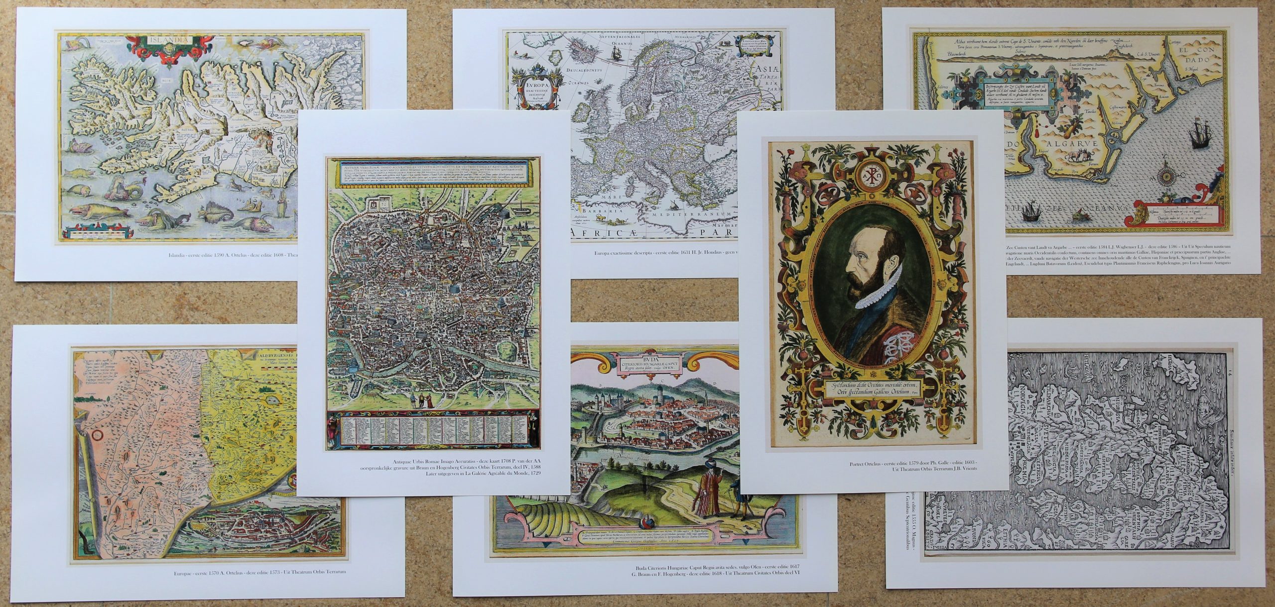
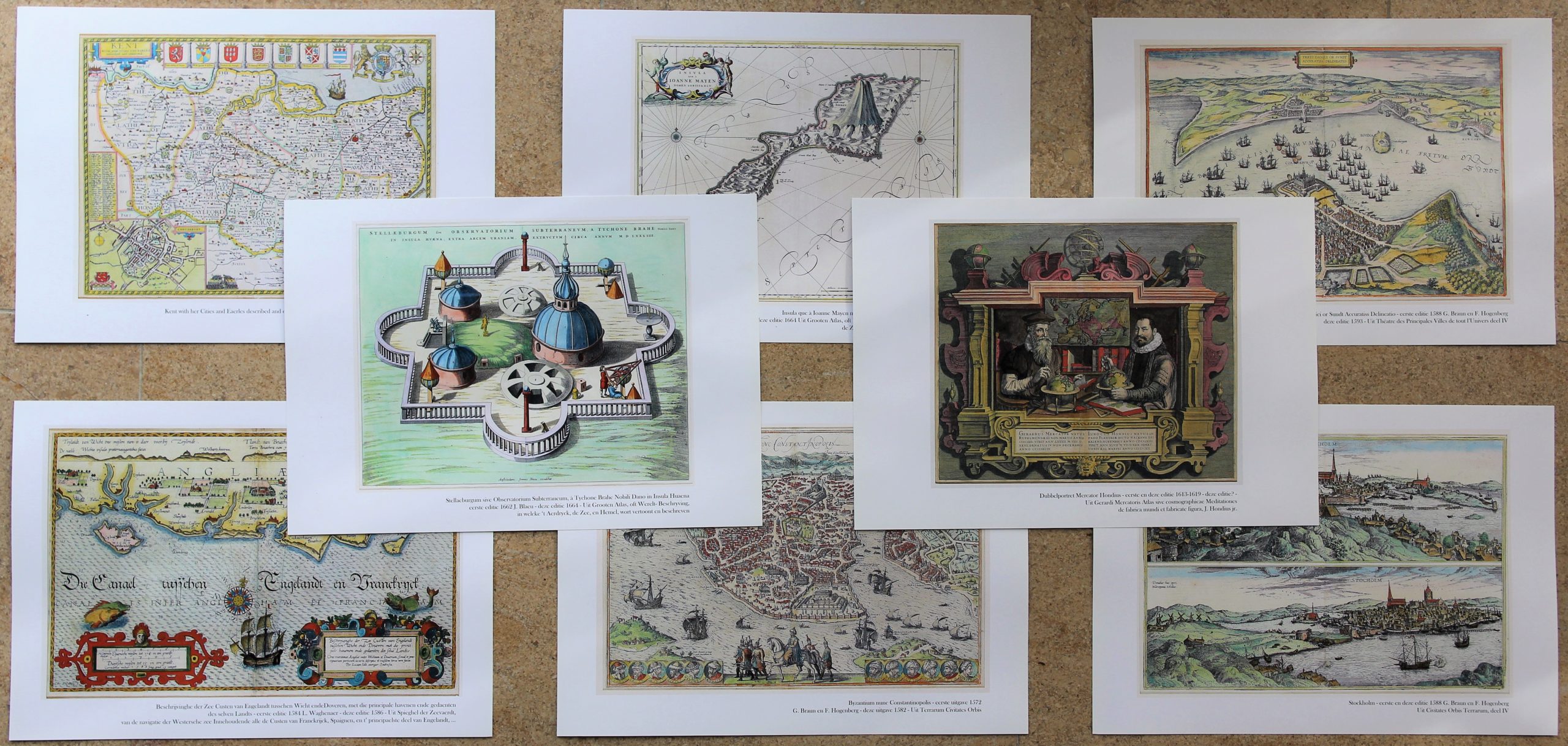
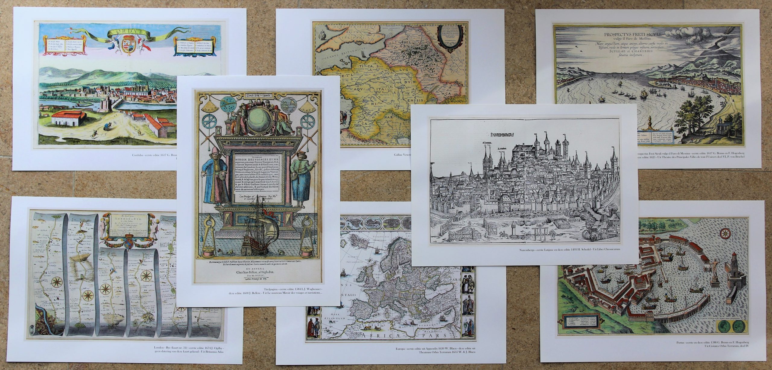
with Folder: 40 A-4 HD pictures of maps
Author: Stanislas De Peuter
Language: Dutch only
Editor and publisher: Mercatormuseum Sint-Niklaas
Date: Autumn 2017
Limited books with folders available
In stock
CATALOGUE “EUROPA HERBEZOCHT”, including a unique folder with 40 HD pictures of maps
CartaHistorica specializes in maps made by the Flemish and Dutch mapmakers between 1500 and 1700. During the last few years we organised three separate exhibitions:
- 2016: on the Netherlands under the title “The Glorious Netherlands”
- 2017: on Europe under the title “Europe Revisited”
- 2018: on the rest of the world under the title “The Dutch colour the World”
On each exhibition approximately 100 items, mostly maps were shown. An appropriate catalogue was also prepared and offered for sale. Each time, we travel in space and time and focus on the mapmakers from the Low Countries from 1500 tot 1700. The history of mapmaking is discussed with many binding texts and pictures. Now we focus on the catalogue of the second exhibition: EUROPE REDISCOVERED, held at the Mercatormuseum from 17 September 2017 to 17 December 2017.
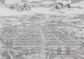
In a short introductory section the essence of a mapmaker is analysed . Then, attention is given to the predecessors of Ortelius. Since we focus on Europe, it is no surprise that German and Italian mapmakers from their renaissance cities are highlighted: Behaim, Waldseemüller, Frisius, Schedel and Münster or Gastaldi, Lafreri, Ramusio, Ruscelli and Tramezzino. A few woodcut maps illustrate this chapter: Nuerenberg by Schedel, Norway by Magnus or Firenze by Münster.
The exhibition really takes off with a comparison of the Europe maps: Bünting (Allegorical), Blaeu (Mythical), the famous Schedel map, or also the maps by Hondius and Ortelius and finally the carte-à-figures by Blaeu.
Then we concentrate on the powerhouses in the 16th century: Paris, London,Toledo, Vienna and Lisbon. No map of Madrid, because it simply did not exist. Of course, Antwerp and Amsterdam should have been part of this select group, but it was already discussed in the first exhibition/catalogue.
The catalogue further widens with the European regions. Most maps are provided by Ortelius (Île de France, Provence, Salzburg or Prussia) and by Mercator-Hondius (Friuli, Livonia and Ukraine/Crimea). It also includes two specialties: the Denmark map by Braun and Hogenberg (the only country map in their Town Atlas) and a hiking map by British Ogilby.
The largest single group are then the renaissance city maps by Braun and Hogenberg. Interesting to compare cities like Marseille, Hamburg, Warsaw, Moscou, Stockholm, or also Cordoba, Brno, Coimbra and Budapest, to name a few.
Exceptionally views of important buildings embellished atlases; such as El Escorial, Caprarola and Stjerneborg.
We go on with two strange sections: the mapping of the Holy Land. These maps had already been inserted in religious manuscript documents and incunabula. Prominently present is Adriaan van Adrichem, and a popular theme was the journeys of Paul. A real innovation came from Ortelius: he made fine maps of the Roman Antiquity, such as ancient Gallia, Latium or Germania. Surprisingly he pictured Daphne and Tempe.
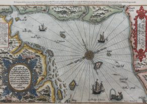
Sea maps or charts were a well known necessary product of the Mediterranean trade. In the 16th century Lucas Waghenaer produced the first atlas of the coastlines of Europe. Magnificient!
Straits, narrows and islands are a next chapter in the exhibition/catalogue: Oresund, Messina, Gibraltar or Iceland, the Balearic islands and Jan Mayen follow.
We have now arrived in the 17th century, the Dutch Golden age. The Dutch mapmakers elevated this form of art to a higher level:
- Regions are mapped in detail: Diocese of Stavanger, the Donau River.
- The copper technique is refined by Hondius’ county maps of England, which he engraved for John Speed.
- Doncker and van Keulen maritime maps provide unique maritime maps of the European coasts.
- Cartes-à-figures become a fashionable item.
War has always been present. We discuss the conflict between Venice and Constantinople. As well as the naval career of Michiel de Ruyter.
What goes up, must go down. The new Dutch Republic got exhausted. At the end of the 17th century, Paris under king Louis XIV became the central European power. When Paris became the cartographic centre, the maps made under his reign focused on military aspects: we show a military city map of Barcelona.
The additional final chapters relate to a variety of topics:
- Bios of Flemish and Dutch cartographers
- Bios of contemporary mapmakers else in Europe
- Miniature maps and wall maps
- The coloring of maps
- The language of a map or atlas
- Jodocus Hondius, central focus point of Flemish immigrants: his family relations in Amsterdam
That’s all folks! This is a synopsis of a past exhibition. Luckily, you can still relive this experience on the basis of the catalogue (104 pages with only text, written in Dutch) with a fantastic folder containing 40 maps on carton paper in A4 format.
ENJOY!
All maps mentioned in the catalogue or shown in this synopsis are for sale.
